Sunday 5 May 2024
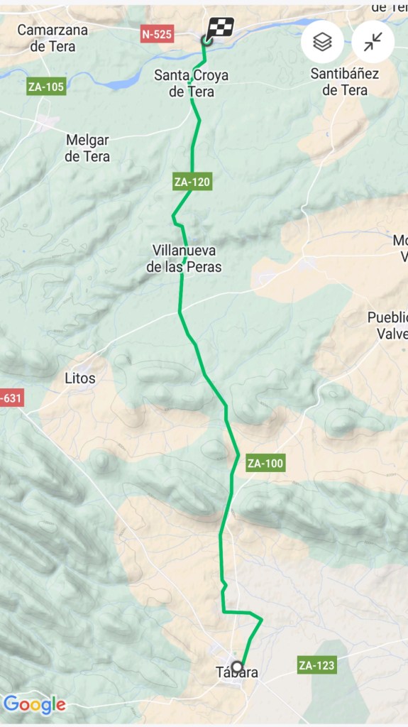
Tábera to Santa Marta de Tera
20.4 kilometers
Today’s walk was characterized by two things. First, it was cool today, but not quite as cold as the previous days. Today was heavily overcast, windy, and threatening rain most of the day. for the last couple of hours, there was an almost continual light rain. We are hoping the wind will blow the clouds away tonight. Second, for at least a couple of hours, we were walking through areas of burnt trees and former orchards where there had been very expansive fires in 2022. A very sobering view. The fires devastated what had been a significant part of the local economy in this area.
Today’s walk from Tábera to Santa Marta de Tera was thankfully shorter than yesterday. We are starting to get into better walking shape, and the next two days will be much shorter giving our muscles some time to recover a bit.
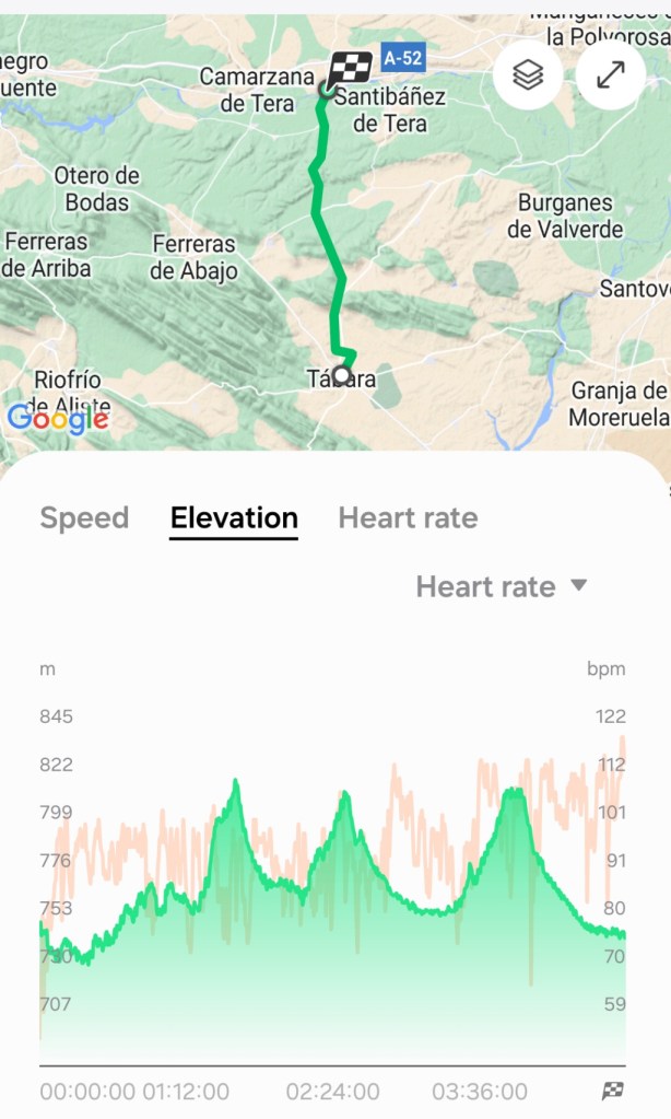
The route today was almost directly north from Tábera to Santa Marta de Tera. From the elevation graph, there were three long and slightly steep uphill sections. The good thing about the uphill walks is that at the top, there is often a good view and after the top, there is a downhill section.
After the typical breakfast of café con leche, toast, and jam, we got out the door and on the road by 8:30 this morning. At the edge of Tábera, we saw a large map of the Camino in the area on a sign, about 2 meters high.
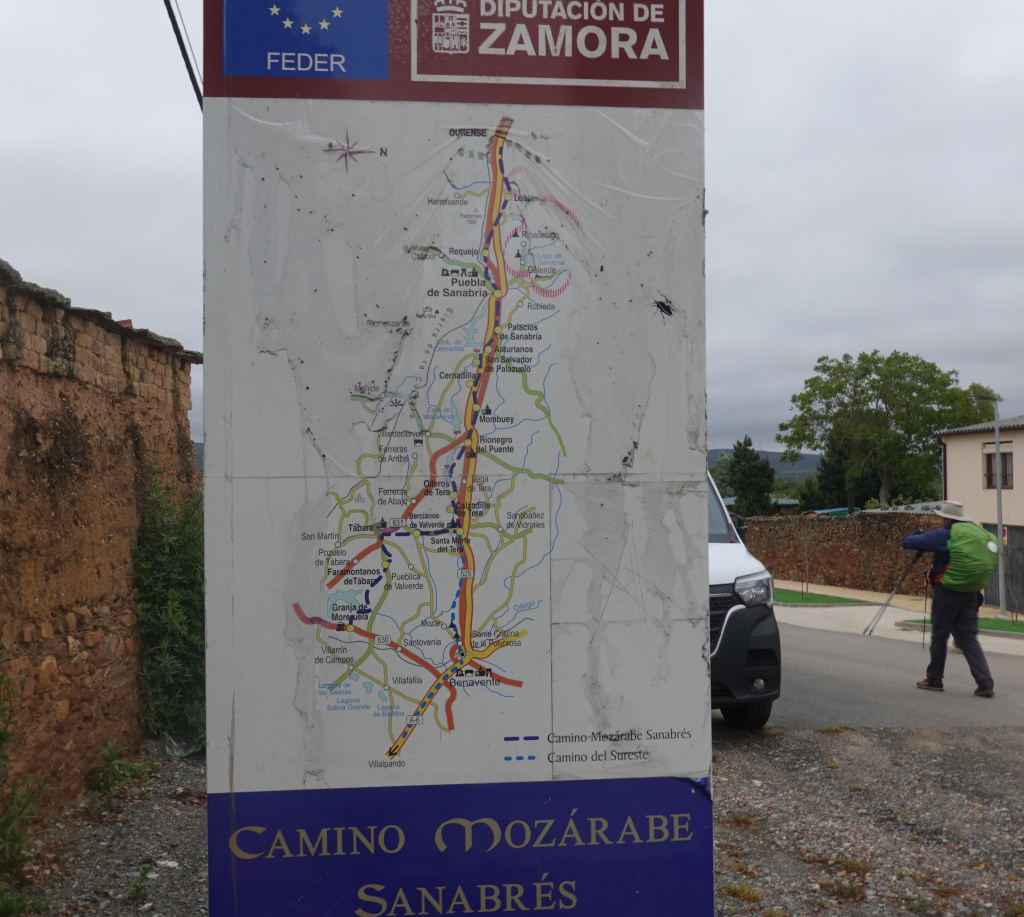
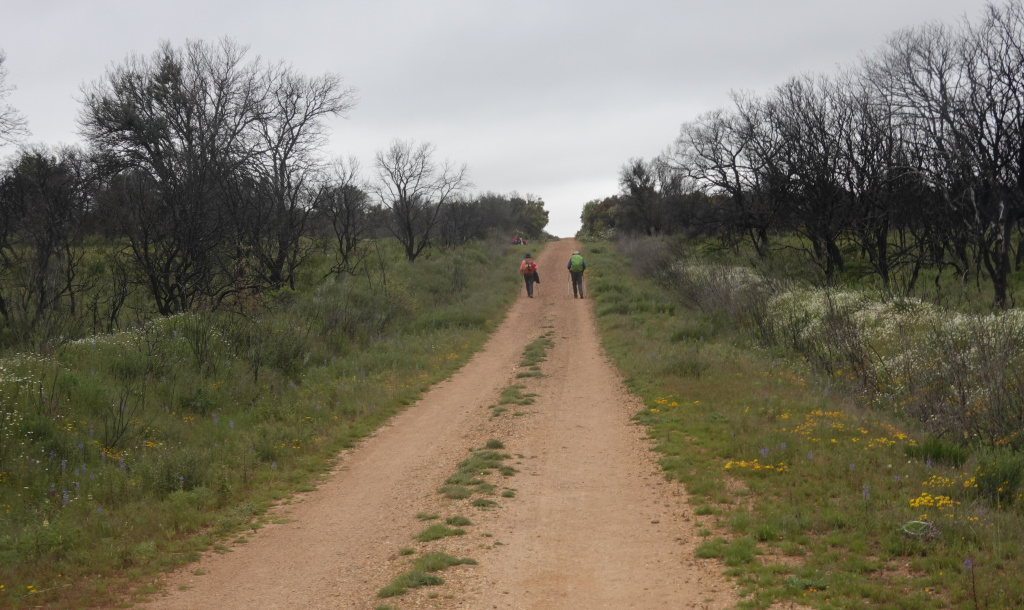
The Camino Sanabrés is the route from Granja de Moreruela to Santiago de Compostela. The Camino Mozárabe is a route that starts at Almeria or Malaga on the south coast of Spain and joins the Via de la Plata at Merida. Less frequently, the Camino Mozárabe refers to the route starting at Almeria or Malaga, continuing on the Via de la Plata, and then traversing the Camino Sanabrés to Santiago de Compostela. Our route today is the short, horizontal thick blue dashed line in the center of the map. In the photo, Ron is heading out of town with his bright green backpack rain cover already in place for the anticipated rain.
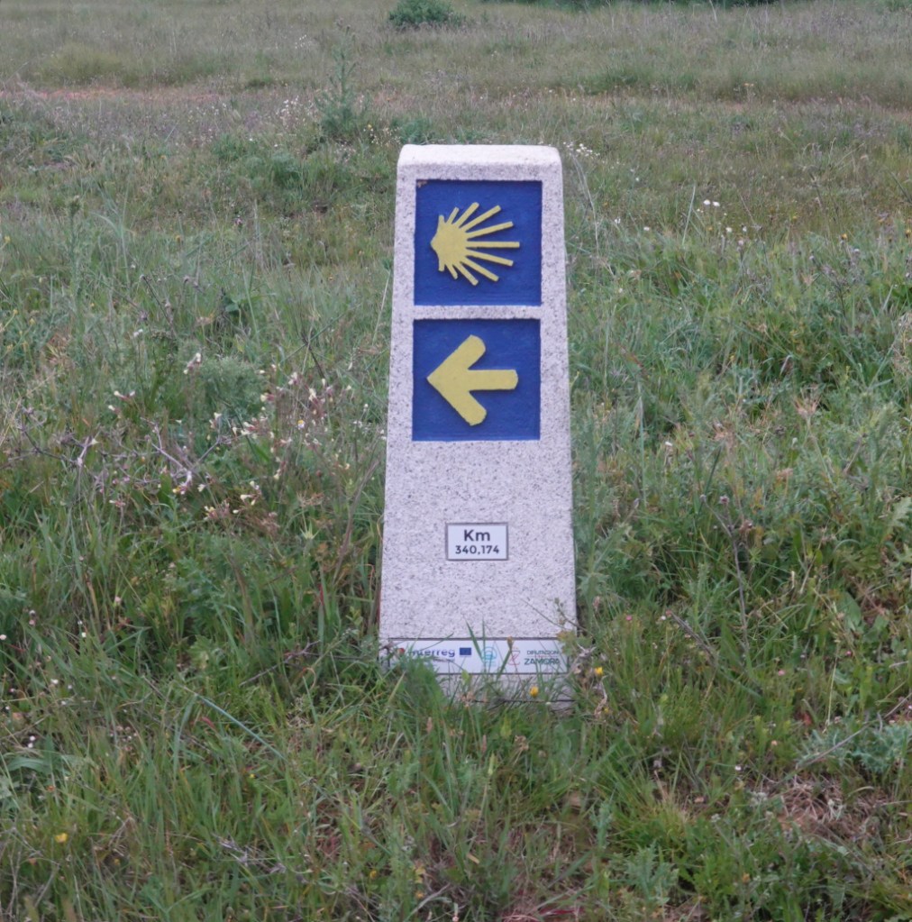
Shortly out of the town, we came upon another very clear monument-style waymarker with the number of kilometers to Santiago de Compostela under the arrow. We have 340 kilometers to go to reach Santiago de Compostela.
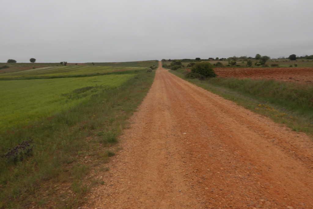
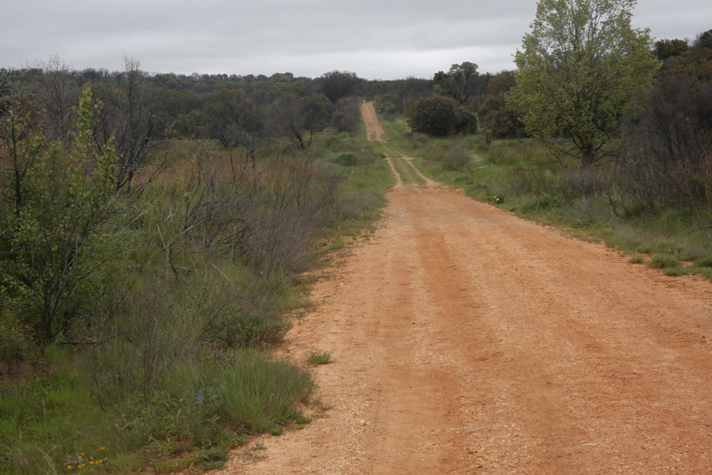
And ahead of us was the long road ahead through rolling and peaceful farm fields.
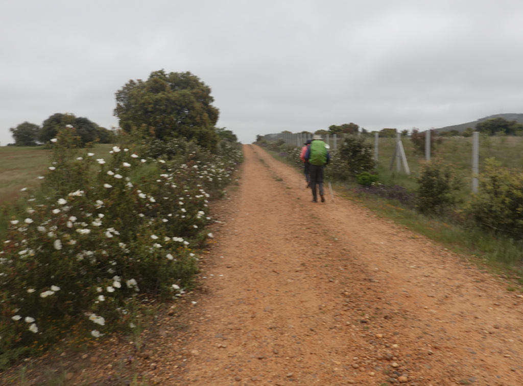
Then came a few hills and I got a photo of Ron and Dan ahead of me with flowers on the side of the road. It is quite windy, but no rain yet.
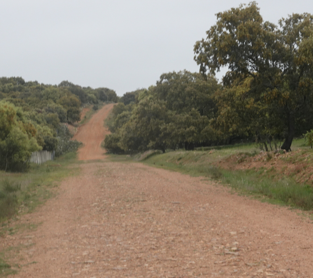
Then ahead of us was a very steep hill. It does not look steep in the photo, but it was…we just put one foot in front of the other and after a while, we made it to the top.
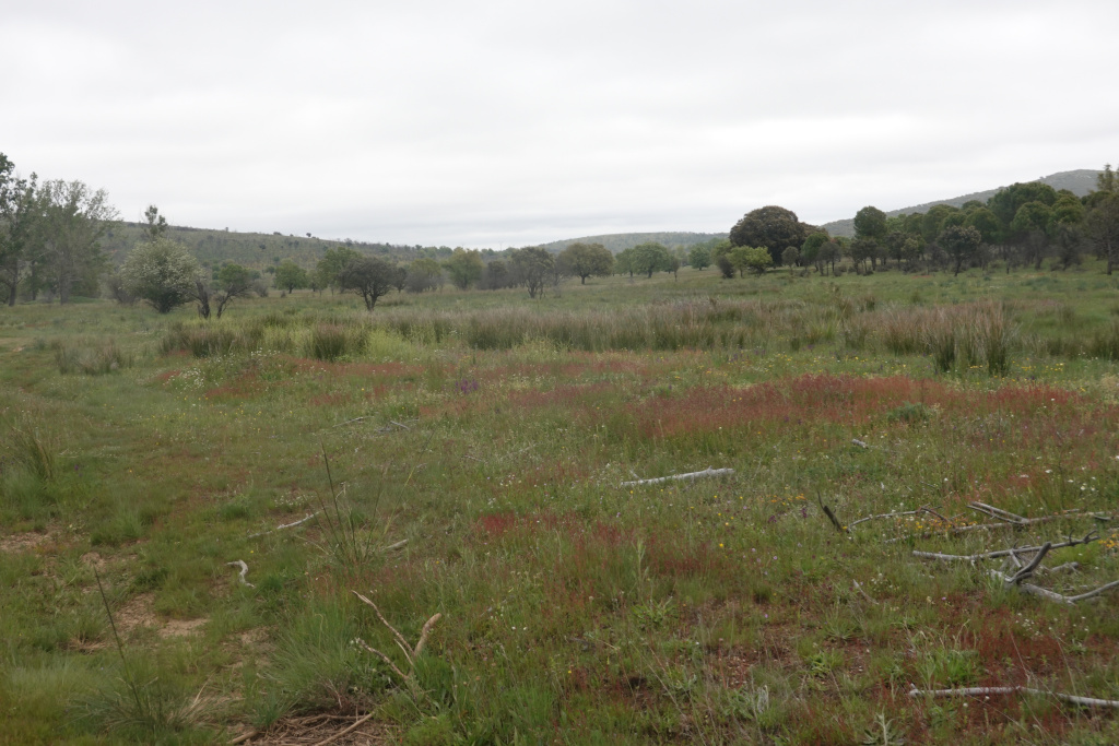
After a little downhill section, we were again in a flatter area of expansive farm fields. Beautiful enough that it warranted a photo.
Soon we came to the second steep hill on the elevation graph earlier in this post.
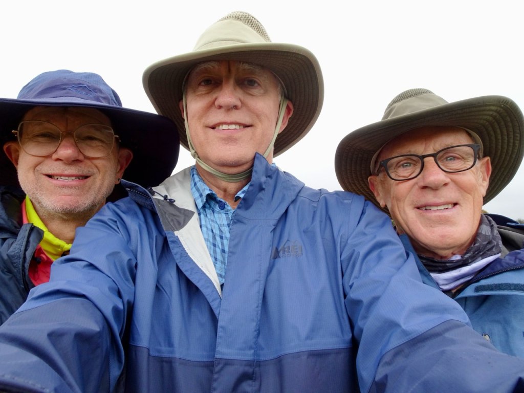
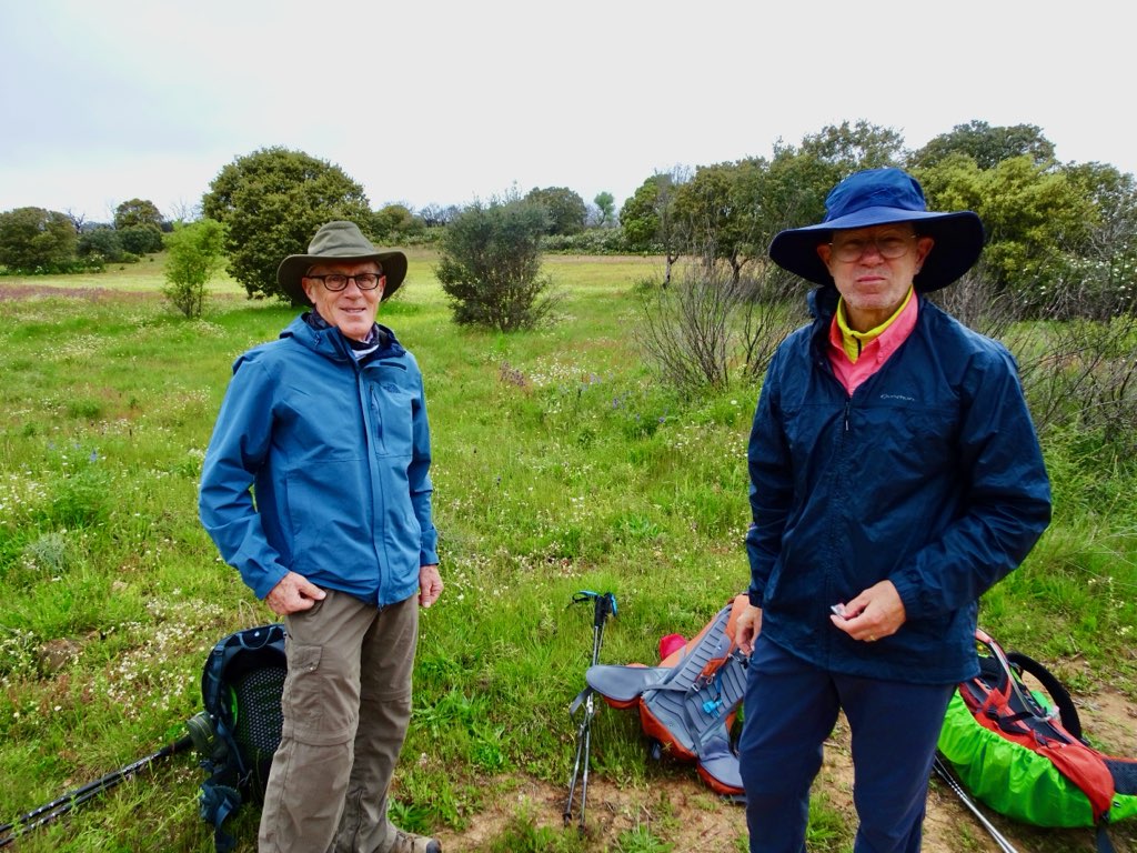
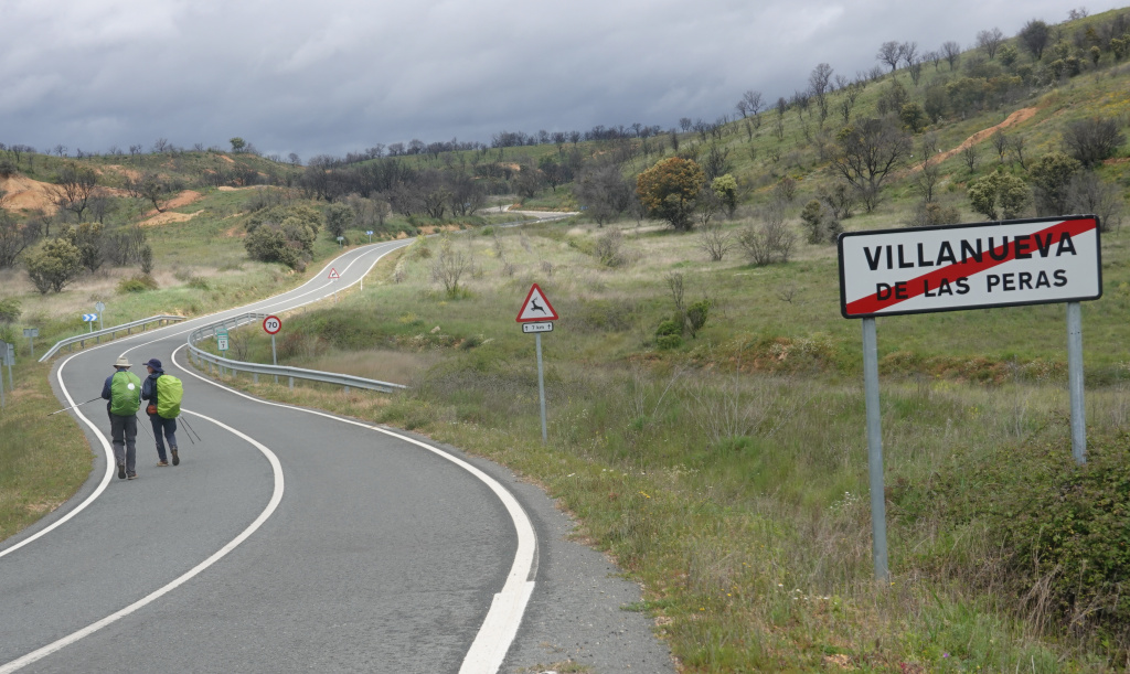
We came to a split in the path. The Wise Pilgrim app shows both options are the same distance, but one goes through a town with a bar, so we chose that one hoping to get a café con leche there. But before we continued, we took a break to take off our packs, have a granola bar, and drink some water. We took a group selfie and Ron got a photo of Dan and me with our backpacks off. We were not sitting down because the ground was wet from the intermittent rain.
Another 40 minutes or so and we were in Villanueva de las Peras. The bar was open, so we all got a café con leche and some snacks: deviled eggs, mini sausage & cheese bocadillos, chickpeas, and a ham & potato snack. A nice break. Since it is Sunday, everything where our accommodation is will be closed.
We left Villanueva de las Peras, and the threatening rain had materialized, but lightly. The bright green pack covers should make us visible on a gloomy day. Much of the rest of today’s walk is along a secondary, lightly traveled highway.
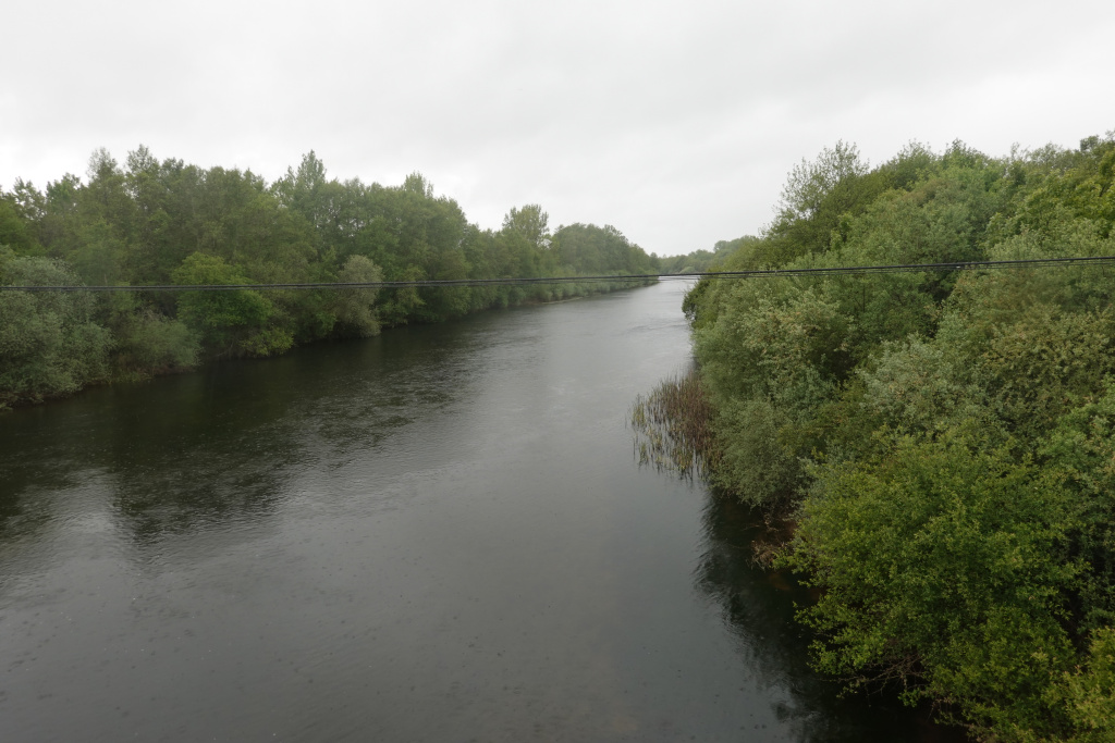
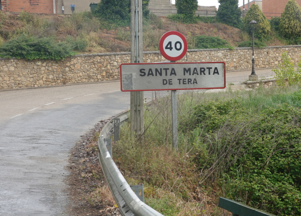
We soon arrived at Santa Marta de Tera, along the Rio Tera (Tera River). We crossed a bridge over the river, and then two more bridges. It was unclear if these were all the same river or exactly what and we were too tired to investigate. The first bridge we crossed was not an insignificant river.
After crossing two smaller bridges, we arrived in Santa Marta de Tera.
Then came some confusion. We had seen on the map app that the place where we were to stay was 11 kilometers away from Santa Marta de Tera in the town of Caldazilla de Tera. There was no pre-arranged transfer, and we had no interest in walking another 11 kilometers. We called the Pilgrim.es customer service number (Pilgrim.es booked all of our accommodations), and essentially, we were supposed to have walked to Caldazilla de Tera. (Our documentation did not say that.) So we were lucky that there was a taxi driver right there who took us to Calzadilla de Tera and right to our accommodation. He was waiting for two other pilgrims who had not arrived, so he took us and returned to meet the other pilgrims. We were very grateful to not have to walk another 11 kilometers.
Our accommodation in Calzadilla de Tera is the top-floor apartment of a house. It has three bedrooms and only one bathroom, but that is not a problem. It is spacious, has a kitchen, and a nice common area and living room for relaxing (and writing a blog). And, for 10 Euros, the owner of the house washed and dried our laundry. A very nice ending to another beautiful day on the Camino de Santiago.
Next: Day 5 – Calzadilla de Tera to Villar de Farfón, 14 kilometers
