Sunday 12 January 2025
Hike beyond Doi Suthep to Remote Village
Rudy and I have a tradition of hiking every Sunday. Rudy is from France and is in Chiang Mai every January. We met at Wild Rose Yoga three years ago. Today we decided to attempt to hike again a route we hiked with the Chiang Mai Hiking Club last year. The hike starts behind Wat Phra That Doi Suthep and goes through the forest until arriving at a remote village called Khun Chang Khian with a small coffee shop and a great view.
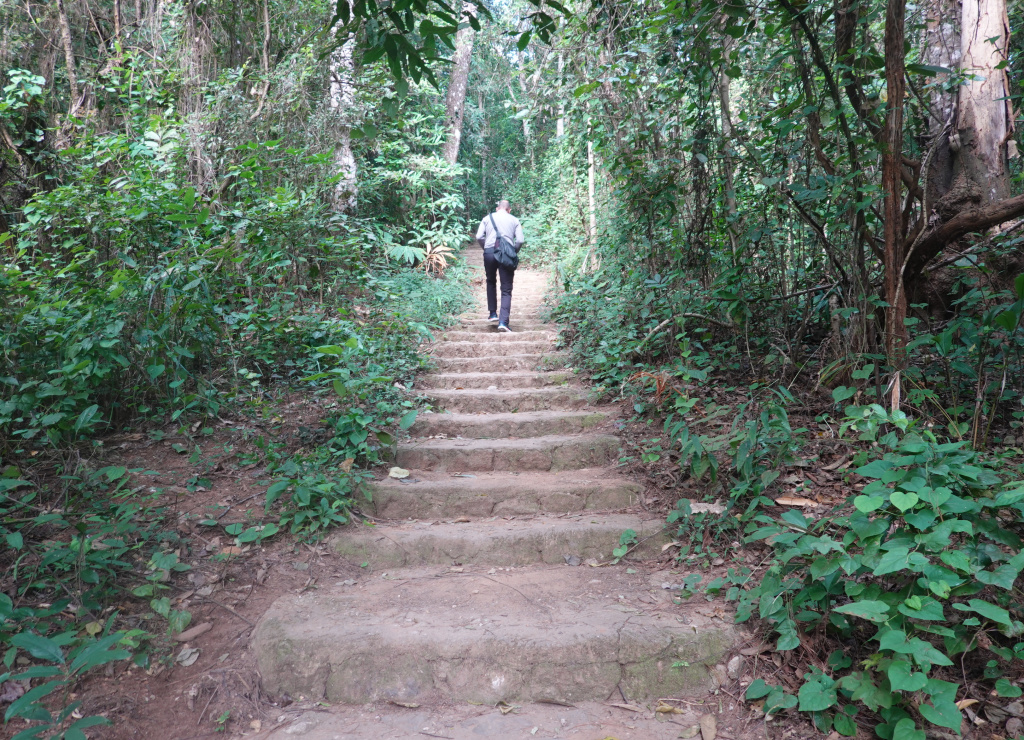
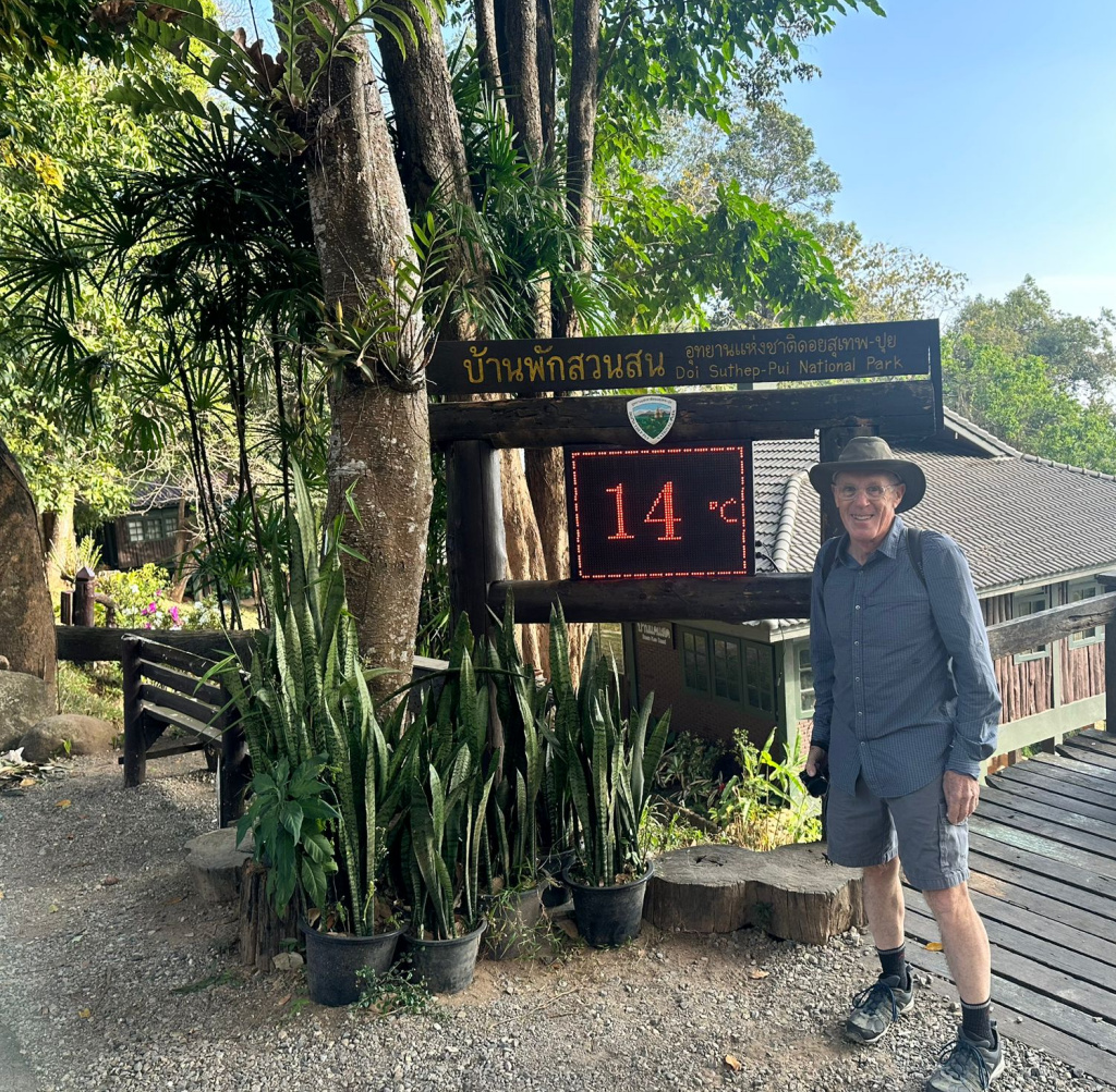
The hike last year was 18 kilometers (11 miles) out and back – I looked it up in my blog post from January 20, 2024. Not remembering well, we thought the hike would be more like 14 kilometers. Rudy rented a motor scooter, so we took that to Wat Phra That Doi Suthep and found the road behind the temple where the trail starts. The day started out very cool, and I soon regretted wearing shorts and only one upper layer. After climbing up the initial steps to something of an information center, the temperature was 14 C (57 F).
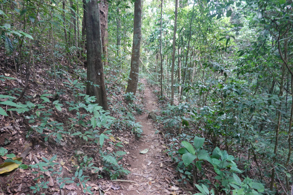
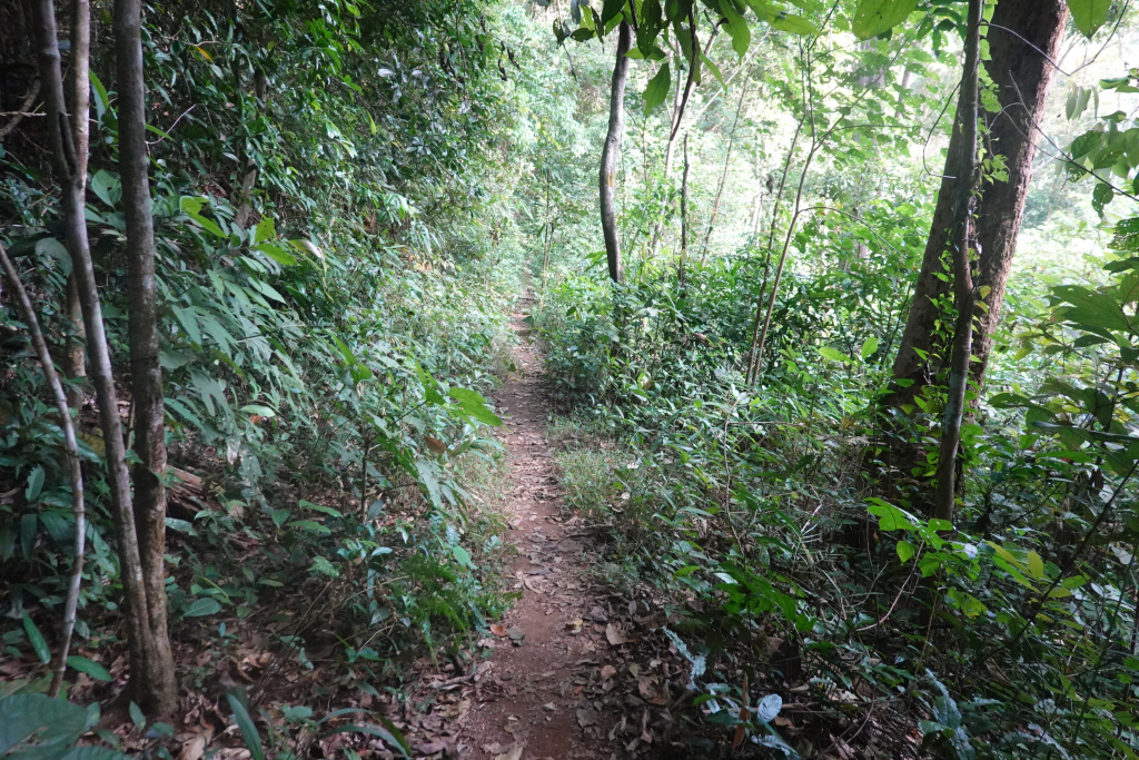
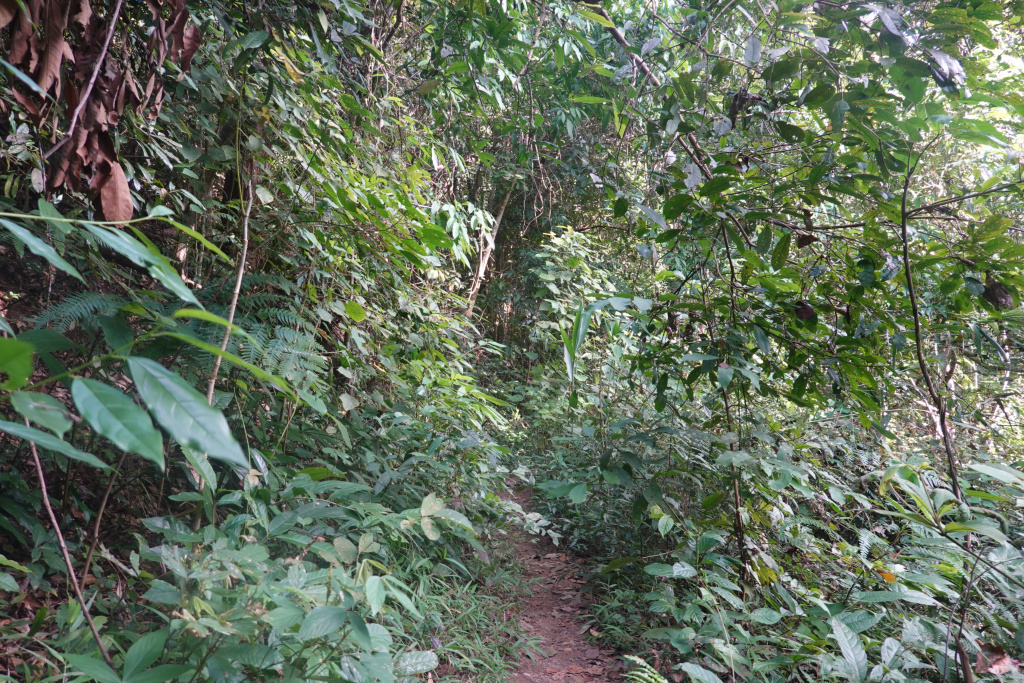
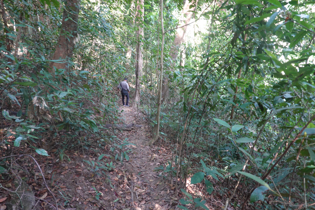
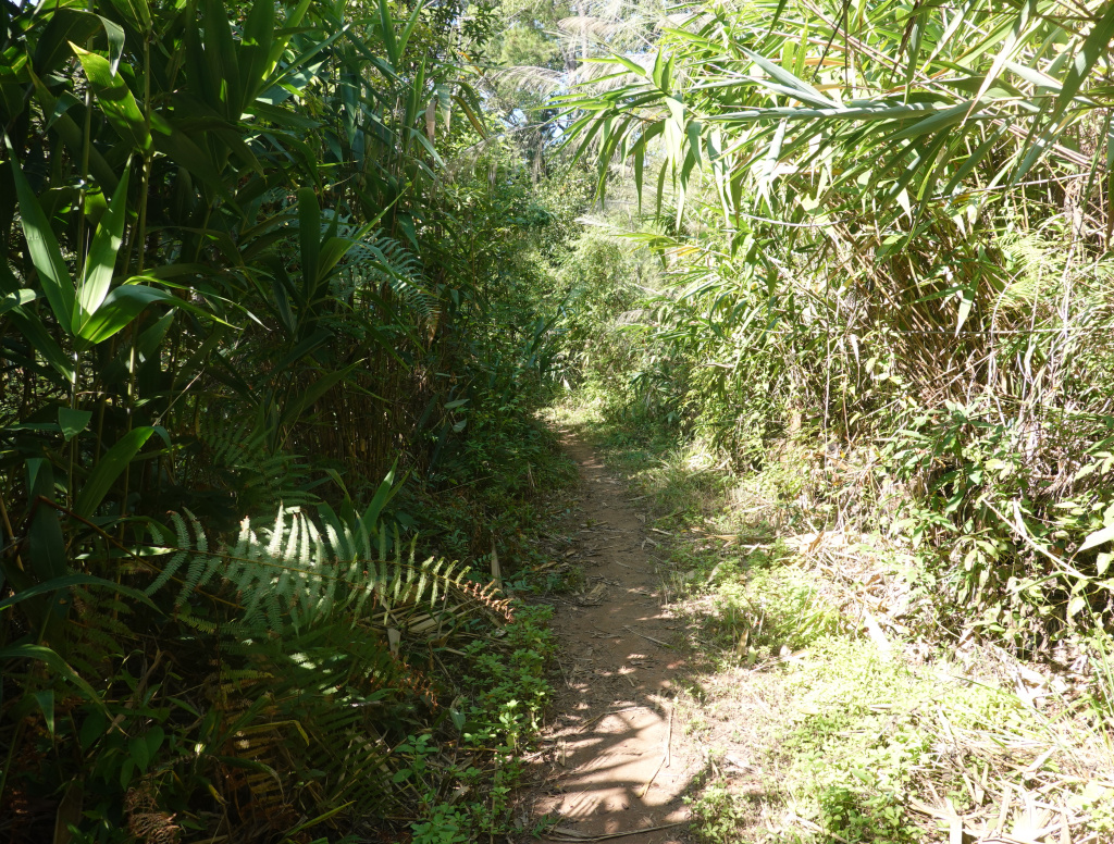
Very soon we were in the forest. After a heavier-than-normal rainy season, the underbrush was dense in many places.
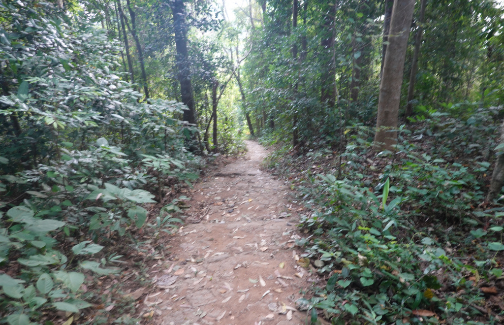
At times the growth was quite dense and the trail was not always obvious, almost in danger of being overgrown by the foliage. And, like the Monks Trail, there are often trees and other obstacles across the path to negotiate over or around.
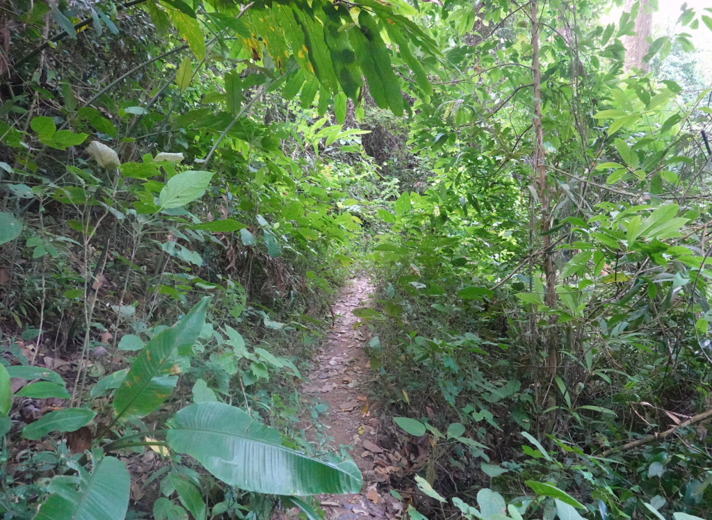
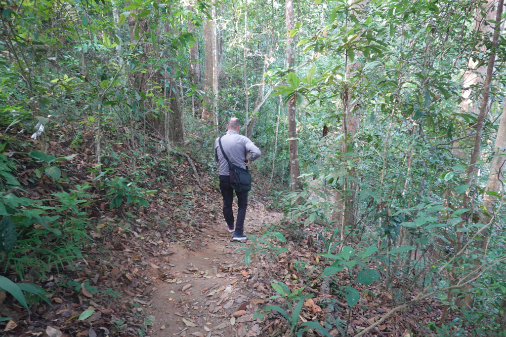
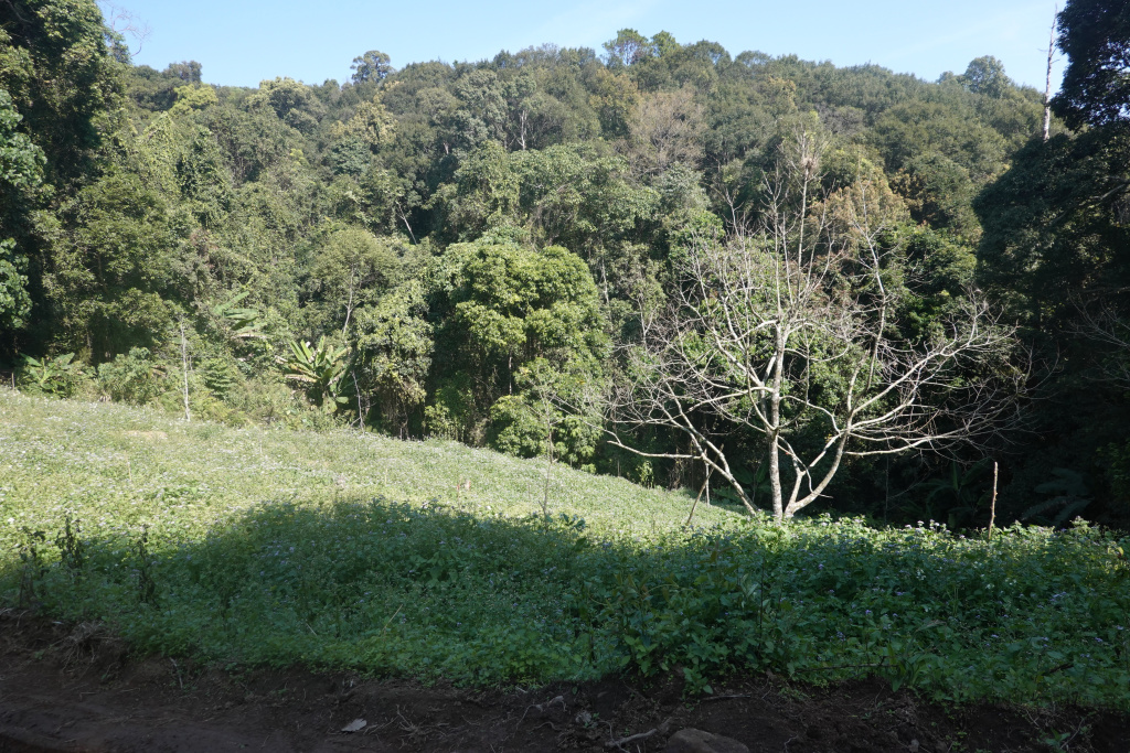
I have said before that it is impossible to convey the good feeling of hiking in the forest – it is quiet, peaceful, and so natural. Sometimes it is a little repetitive, and yet still always different. Sometimes there are large trees:
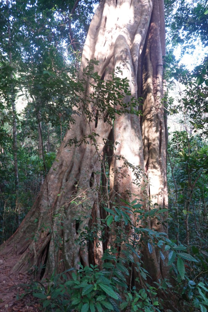
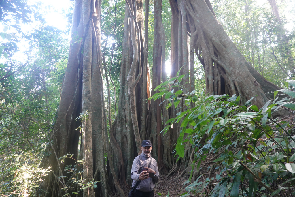
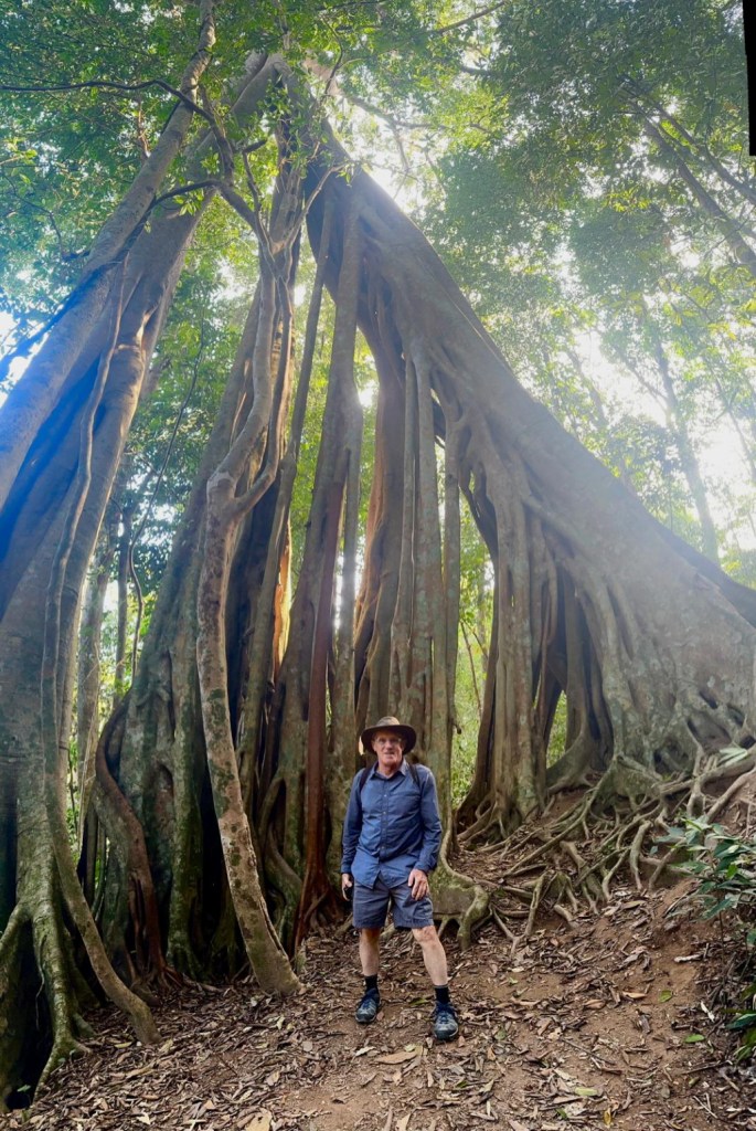
And then we came to a very memorable tree we saw last year. I got a photo of Rudy photographing the large tree and he got one of me by the tree.
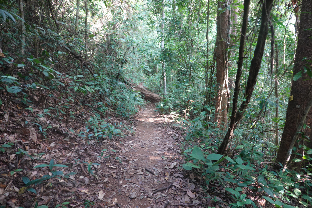
We continued into the forest, confident that we were on the correct trail after seeing the memorable tree. There were a few “intersections” of trails, and we continued on what seemed to be the most worn trail – they all looked very much alike, and they all seemed to be going uphill.
Some of the trail was very narrow and not as well-worn as we expected. We started to suspect we were lost or not exactly lost but not on the trail we thought we were on.

So we kept going (what else could we do?). We were on a trail that was clearly not as well-worn as what we remembered, and still going uphill.
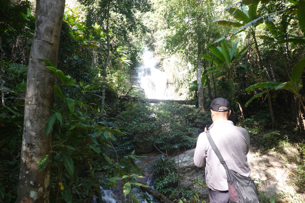
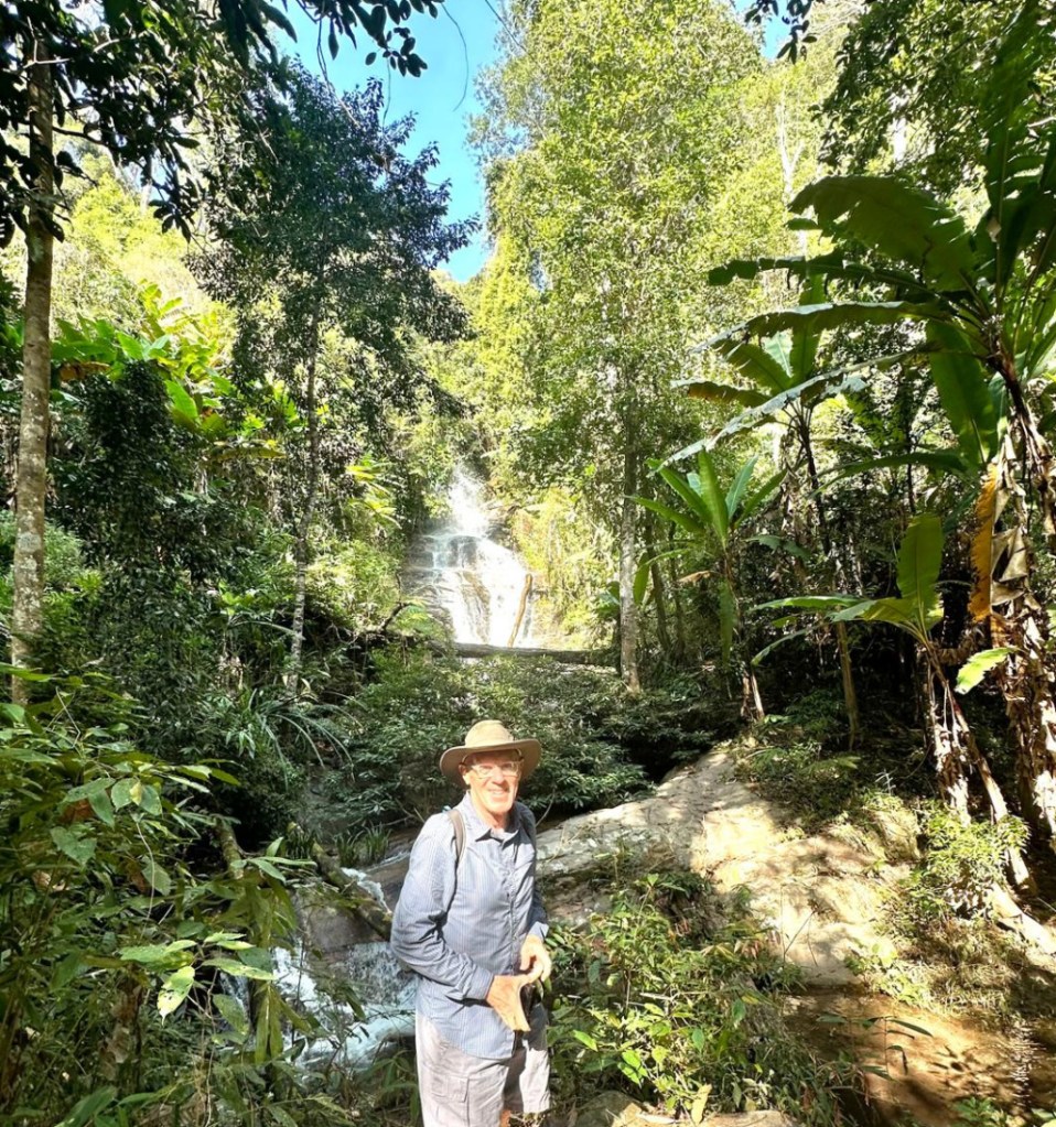
After a while and some backtracking, we came to a waterfall, very likely the same waterfall we saw on a completely different hike two years ago. We did not see this waterfall last year when hiking with the Chiang Mai Hiking Club. It was a beautiful, loud waterfall! I took a photo of Rudy photographing the waterfall, and he took one of me.
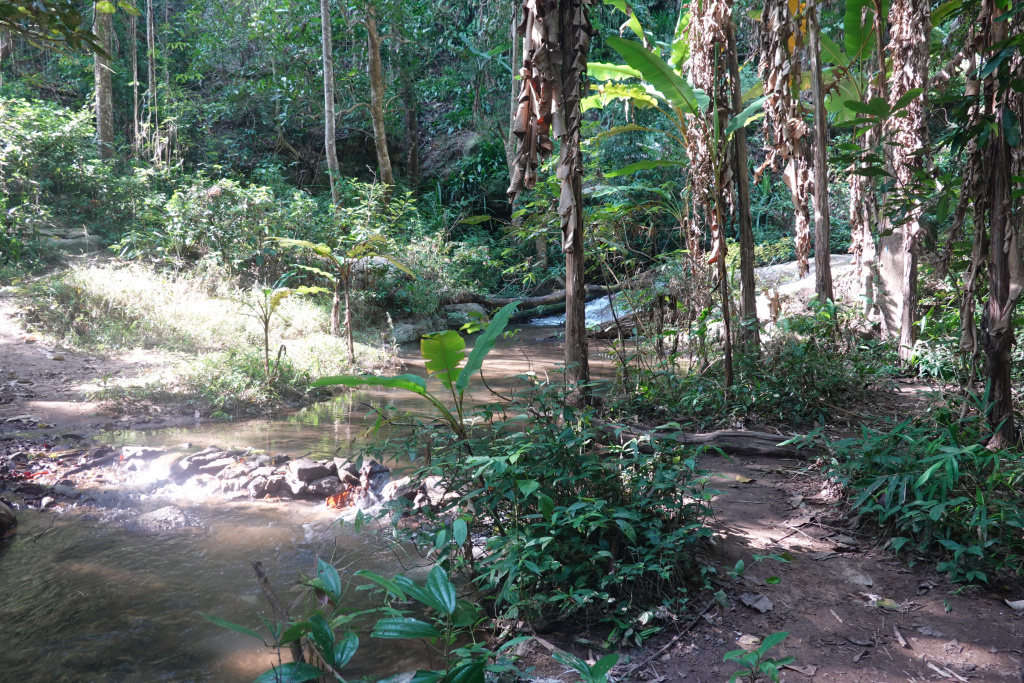
Using the All Trails App, as best we could tell, we had to cross the creek, go up the hill at the side of the waterfall, and cross the creek again behind the waterfall. There are no bridges, only a few large rocks in the creek. A little precarious, but neither of us got wet.
Up the hill beside the waterfall and across the creek again, and we felt more lost than before. We pushed onward. Are we on the right trail? Then we came to a clearing we remembered from last year, so we knew our perseverance had paid off – we were nearing the remote village.
And after a while, we arrived in the village of Khun Chang Khian and the coffee shop with a great view.
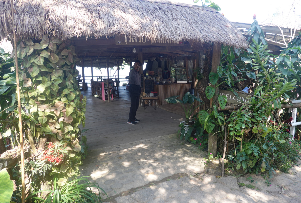
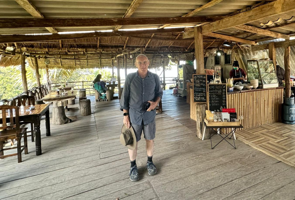
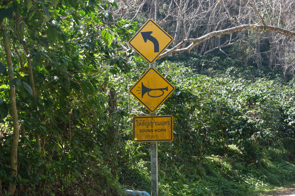
We took a break. Being a little concerned about the afternoon eroding away, and not wanting to get lost again, we decided to take the main road back to the temple. At least we took the road most of the way. We did use All Trails to cut across a couple of long loops the road took. The road is very narrow, just over one lane wide, so there are signs at curves to sound your horn when approaching. An interesting sign. I did not bring a bugle with me…but I get the idea.
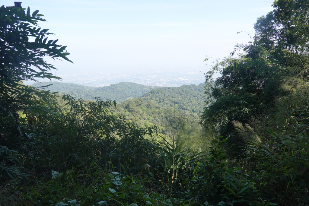
Continuing up and down, more down now than up, I caught a vista showing still a long way to go.
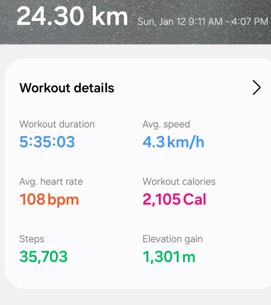
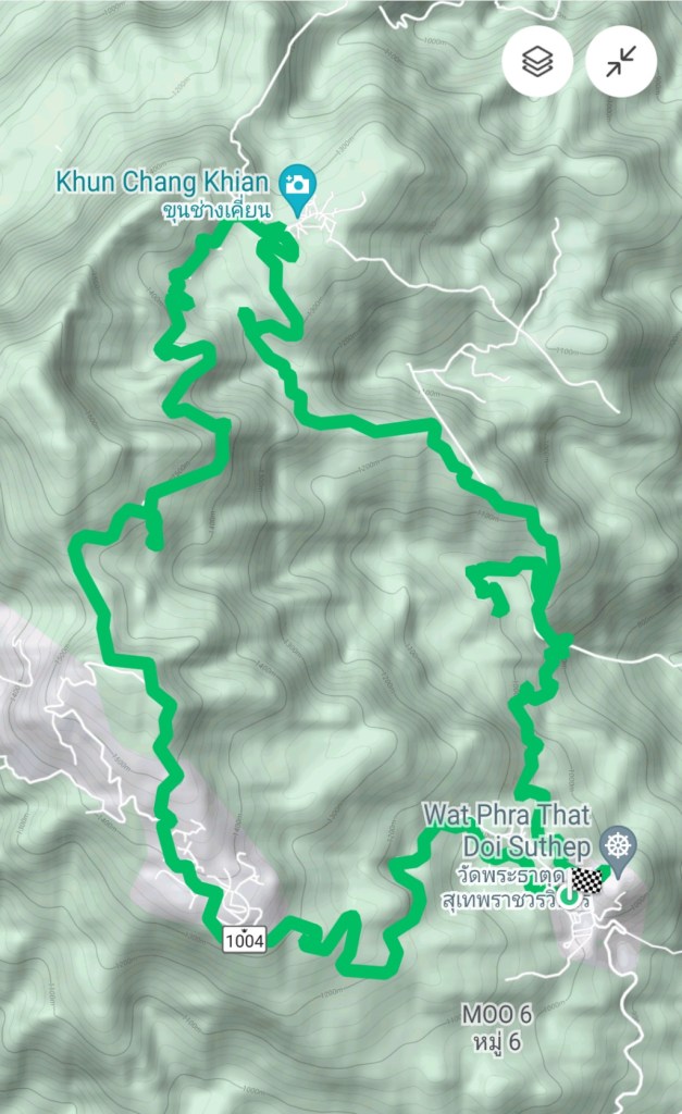
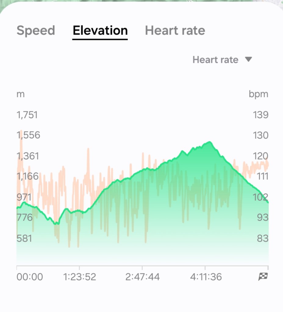
After a while, we made it back to Wat Phra That Doi Suthep and Rudy’s motorbike. Here is a summary of the hike, 24 kilometers in just over 5 1/2 hours of hiking over 35,000 steps (stopped time is not counted). The elevation profile does show what we felt, long, long uphill, and a shorter downhill.
A long, tiring day in the forest, still uplifting and invigorating. It is always an adventure hiking in the forest around Chiang Mai.
Next: Revisiting Wiang Kum Kam
