Tuesday 16 December 2024
Walking east to see flood damage
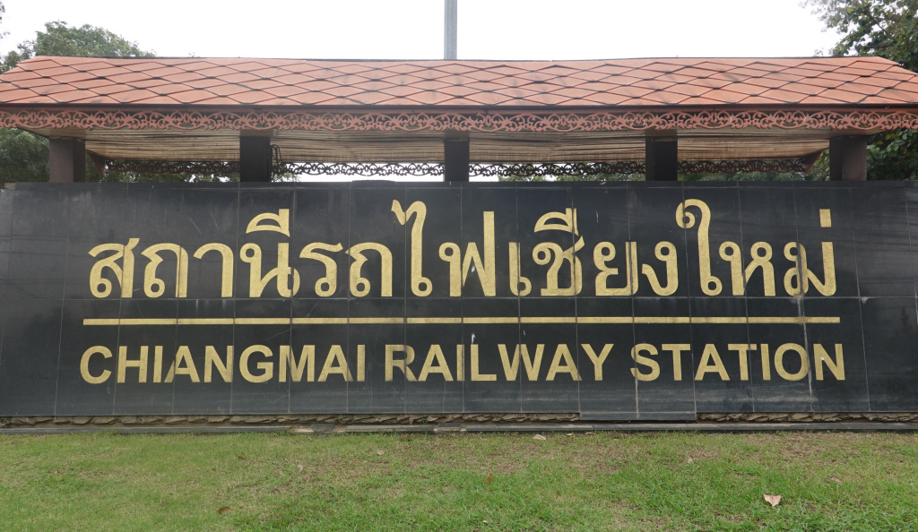
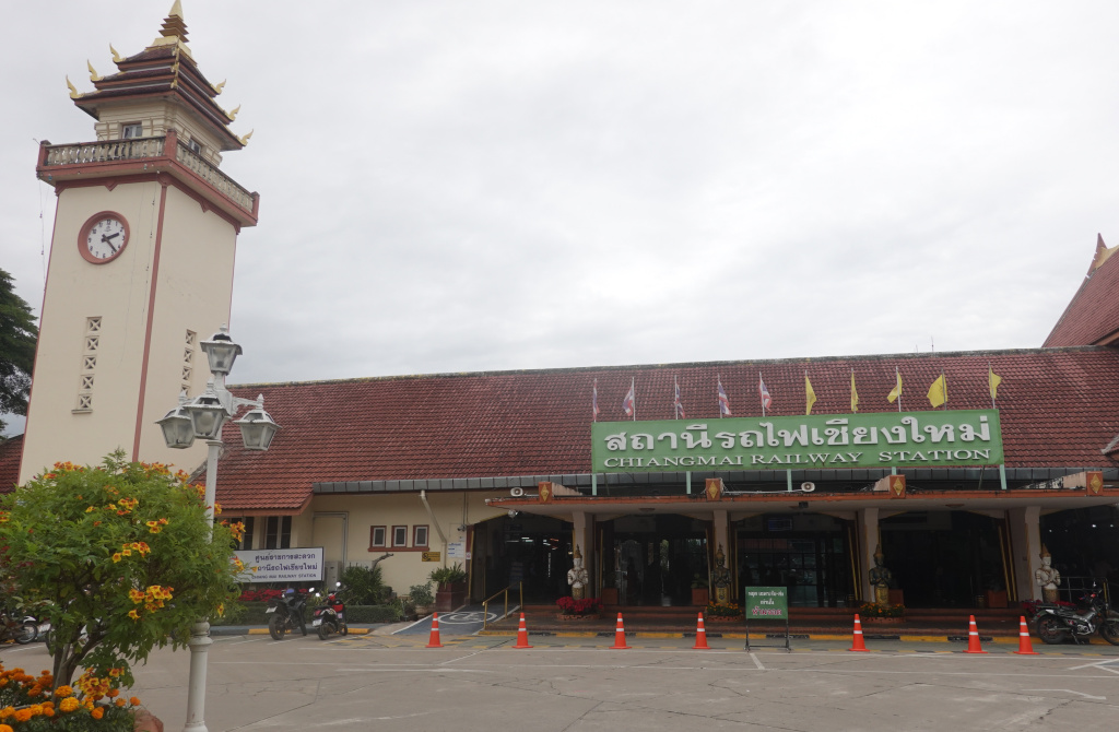
Chiang Mai Railway Station
I have arrived! The Chiang Mai Railway Station.
The station was first opened in 1922. In 1943, while the Japanese occupied Thailand, Allied bombings destroyed it. The current station was finished after the war in 1948. The station:
Inside a picture of Chulalongkorn, King Rama V (fifth king of the Chakri Dynasty), is seen:
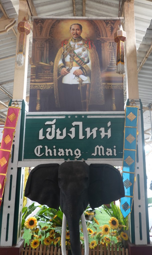
Chulalongkorn was a significant king, reigning from 1868 until his death in 1910. His reign was characterized by the modernization of Siam (the name was changed to Thailand in 1939), governmental and social reforms (including abolishing slavery), and territorial concessions to the British and French empires. Siam was surrounded by European colonies: British in India, Pakistan, Burma; French in what is now Vietnam and Cambodia; Dutch in Indonesia; Spanish in The Philipines. Chulalongkorn, through his policies, ensured the independence of Siam. His picture is proudly displayed in the railway station because Chulalongkorn also established what became the State Railway of Thailand, the SRT. The SRT operates all intercity rail lines in Thailand, approximately 4830 kilometers (3000 miles). The SRT does not own or operate the BTS Skytrain lines, or the MRT Subway lines in the Bangkok metropolitan area. It was also under Chulalongkorn that the Hua Lamphong Central Bangkok rail station was built, although it was not completed until after his death. Hua Lamphong served as the central railway station of Bangkok from 1916 until 2022 (more than 100 years!), superceded by the new Krung Thep Aphiwat station. The newer station is larger and will have connections to high-speed rail lines under construction and in planning.
Back to Chiang Mai’s Railway Station
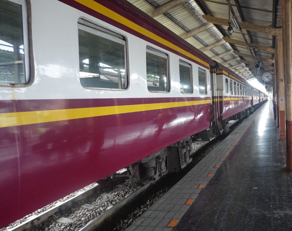
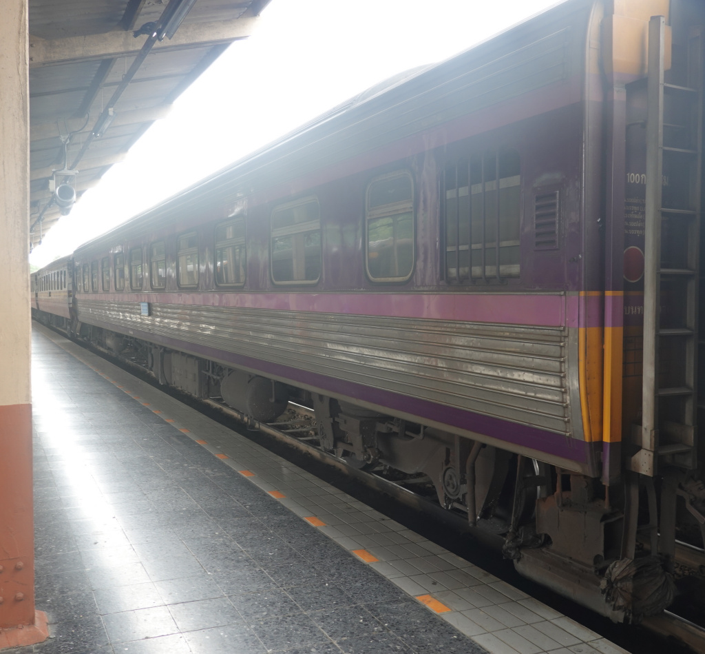
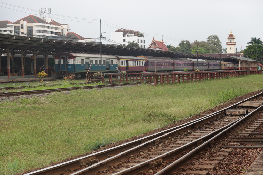
I walked out onto the platforms. Train 52 to Bangkok, set to leave at 3:30 PM was waiting as well as another train which might be the overnight Train 14 to Bangkok, leaving Chiang Mai at 5:00 PM. Neither had a locomotive attached, they are probably getting serviced and refueled.
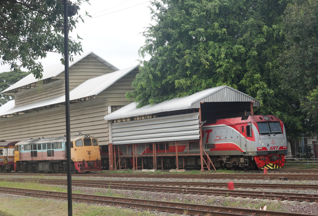
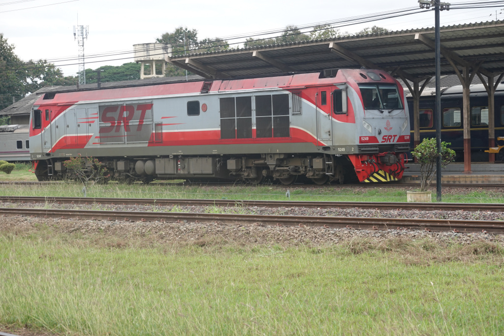
At the end of the platforms, I could see a locomotive at the service/fueling facility.
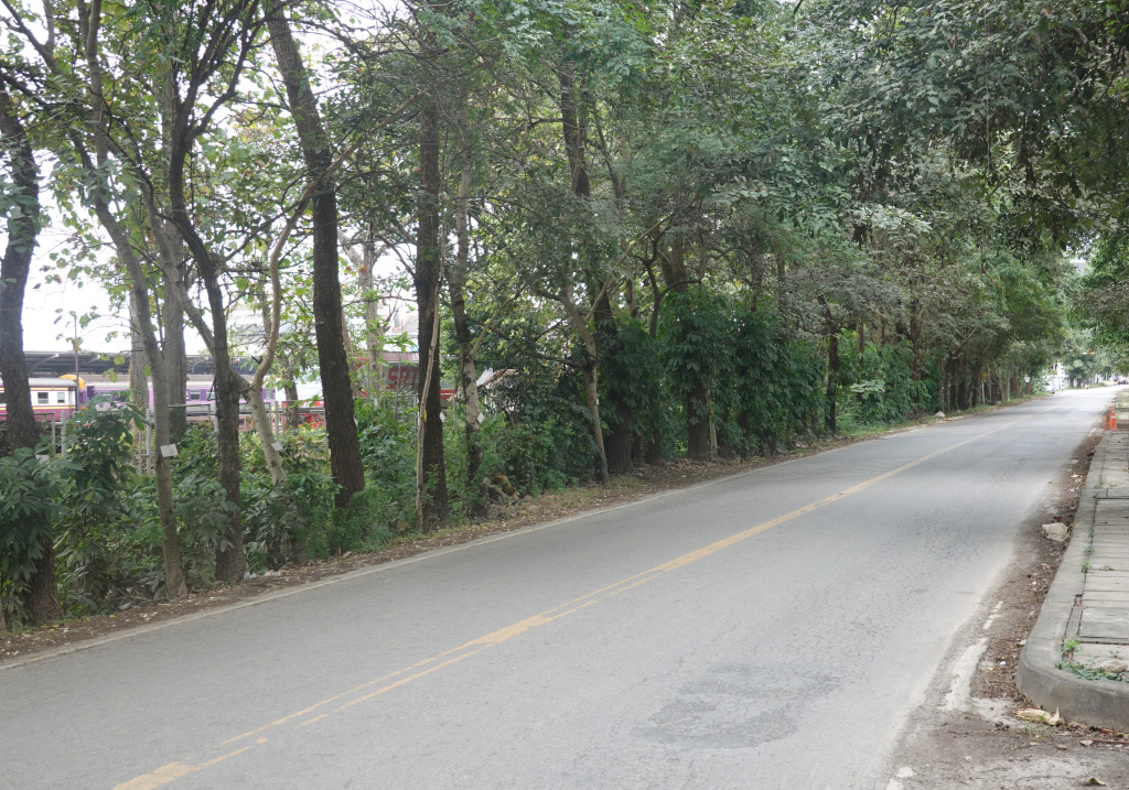
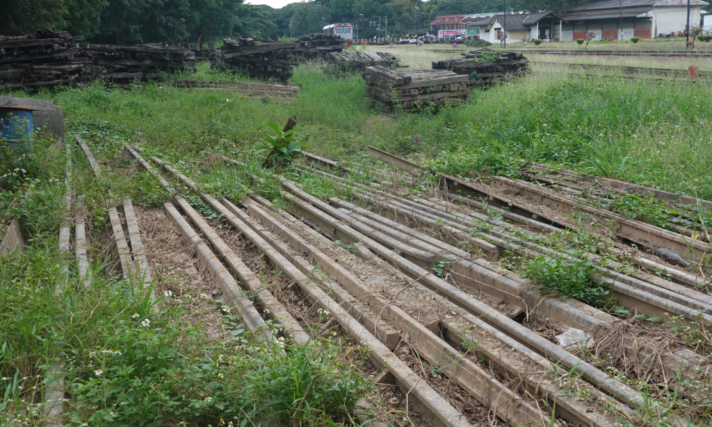
I left the station and walked to the next north-south road, called “Road Along the Railway” on Google Maps. If I were to go far enough, this road becomes the highway to Lamphun. It is not busy here, so I had a good view of the rail yard, which can be seen to the left of the photo.
At an entrance, I went in to have a closer look, just as I did last year. The flood water here was only about 35-40 centimeters (14-15 inches) deep, so little evidence remained. In one direction I saw the same piles of old wooden ties, having been replaced with concrete ties, and some discarded (or stored) rail. The other direction I was looking back at the trains waiting in the station.
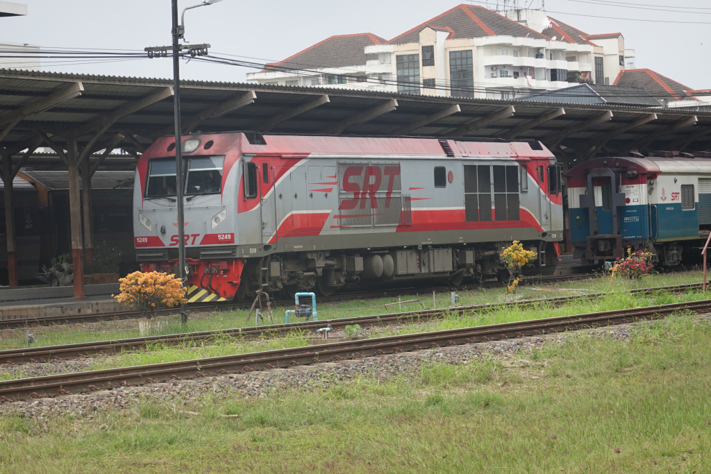
Then I noticed the locomotive was farther to the south, getting switched onto one of the tracks to the station. I watched as it approached Train 52 and then carefully coupled onto the train.
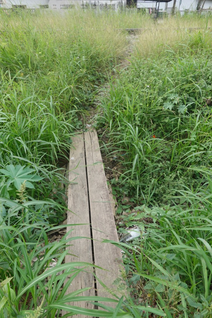
I returned to the Road Along the Railway and continued south. I found the same boards across the ditch by the road and crossed, then carefully crossed the tracks.
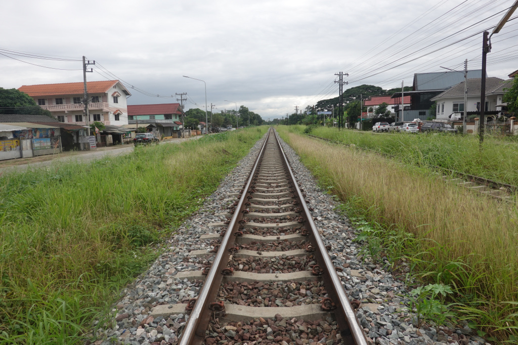
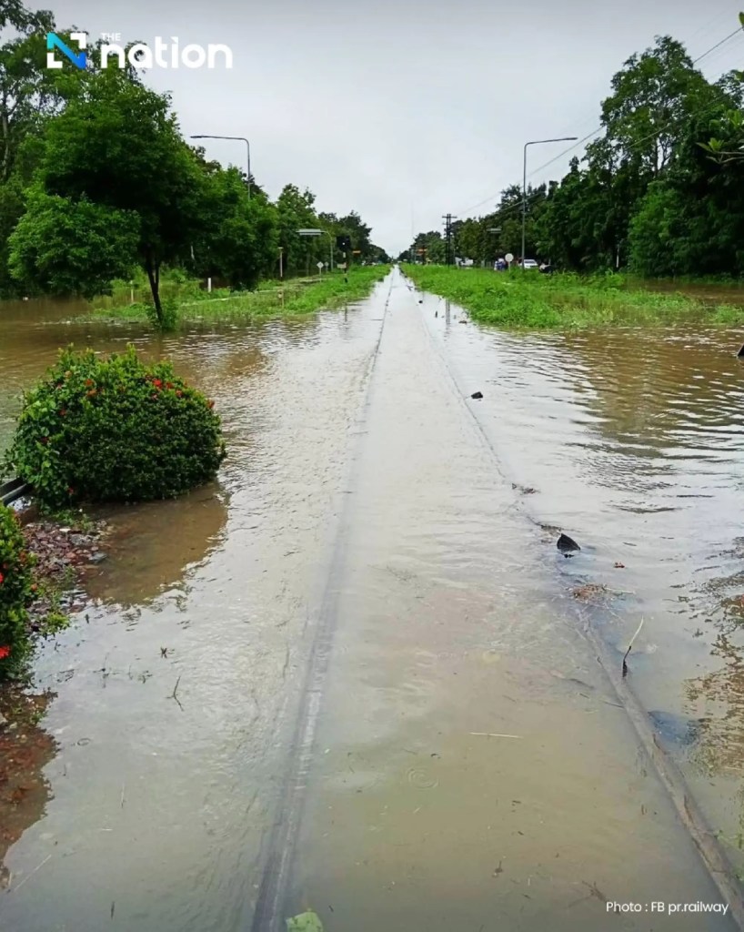
Here is a photo looking south towards Lamphun I took today, and one taken during the flood also looking south from close to the same location. With this much water over the tracks, the closing of rail service was a very reasonable idea.
I continued on westward now towards a local temple Wat Mueang Kai.
Next: Railway Station Walk 5 – Wat Mueang Kai
