Friday, 17 May 2024
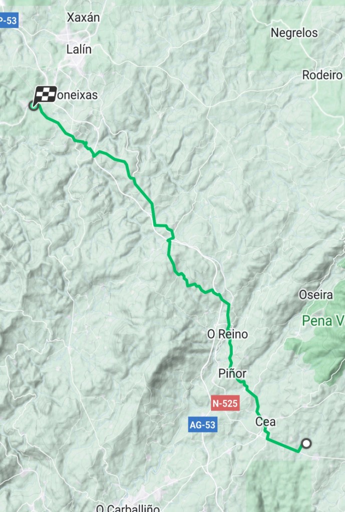
Cea to Estación de Lalín
32.4 kilometers
Today was a very long day. And it rained or was drizzling almost all day. The rain was relentless and unseasonable for May in Galicia. Also, the day was pretty cool with the high temperature in the high 50s Fahrenheit. Despite the rain and the cool (almost cold) temperatures, the scenery was continually beautiful.
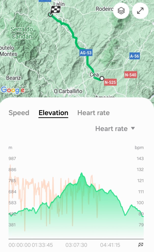
From the map, it can be seen that we are on a generally northwest course to Santiago de Compostela. The profile graph shows that we basically went up and over a mountain and then back down to our end point of Estación de Lalín.
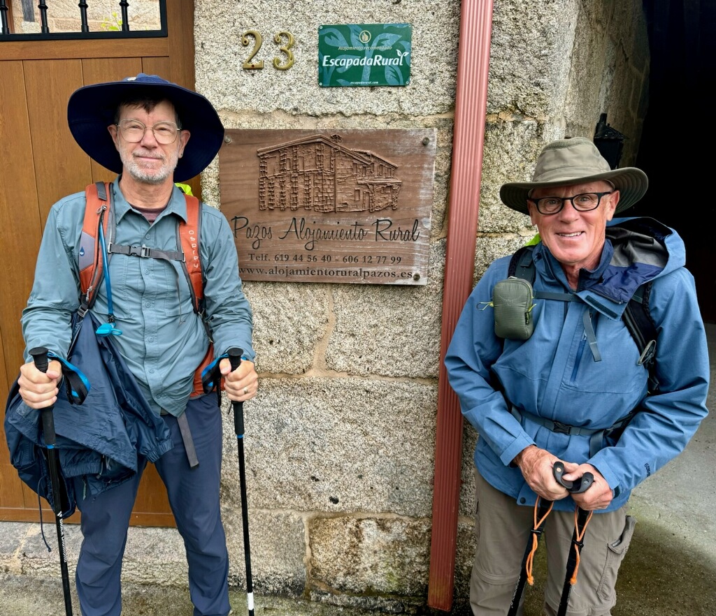
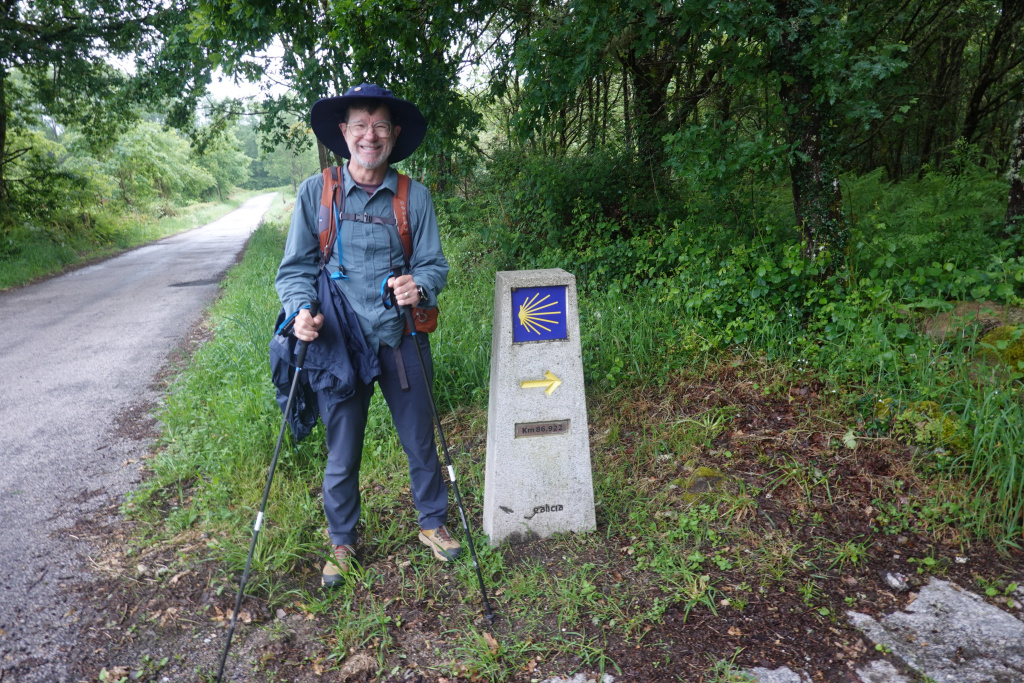
Dan and I started early at about 8:20. Ron is making it a shorter day by sharing a taxi to Castro Dozon with two ladies who were in the same accommodation. That will allow him to reduce the walk to about 12 kilometers to spare the toll on his knee. Ron saw us off and took a photo of Dan and me as we were leaving Pazos Alojamiento Rural for our walk expected to be over 30 kilometers.
I got a photo of Dan as we passed our first Camino monument waymarker of the day.
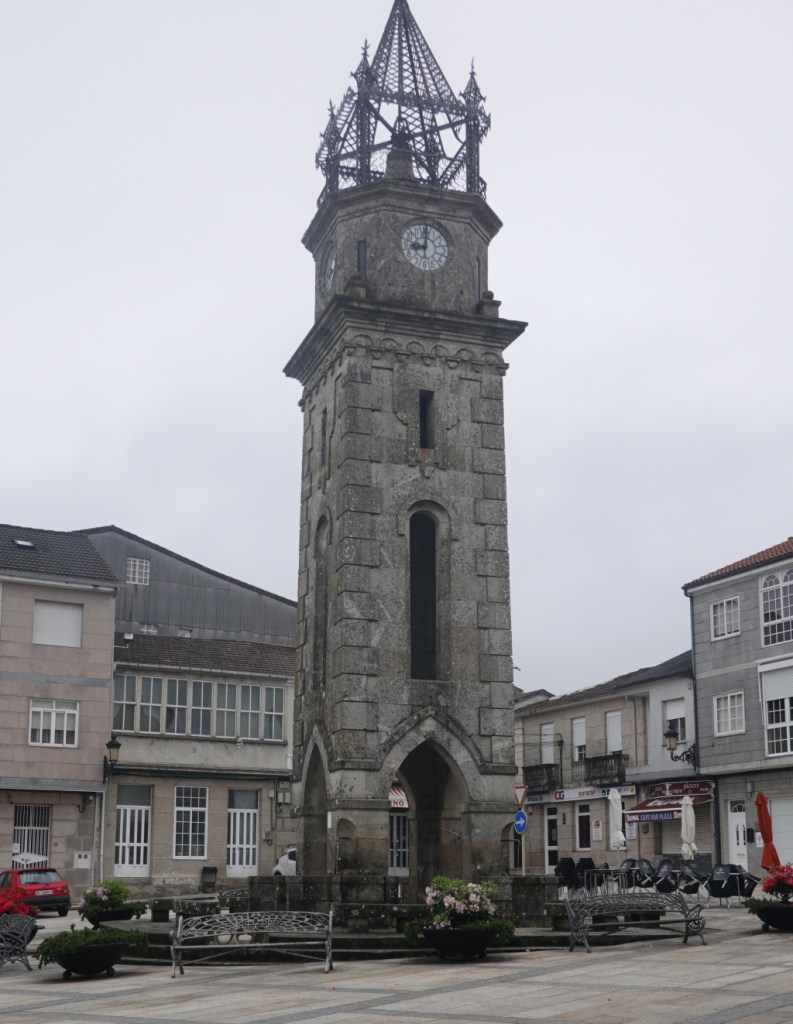
We had 3.5 kilometers to walk to get to Cea, our “official” starting town for the day. When we got to Cea, we walked through a part of the town that was larger than what we had seen yesterday. There was a nice and very tall free-standing clock tower in the main square.
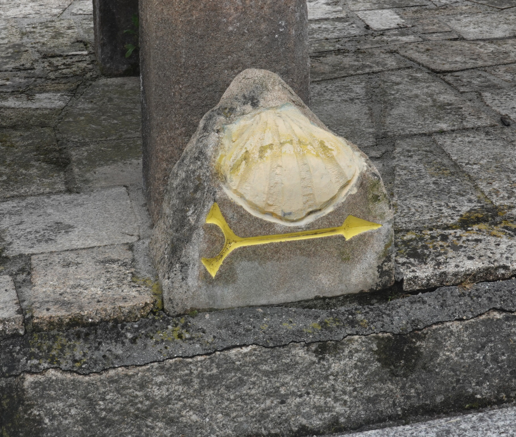
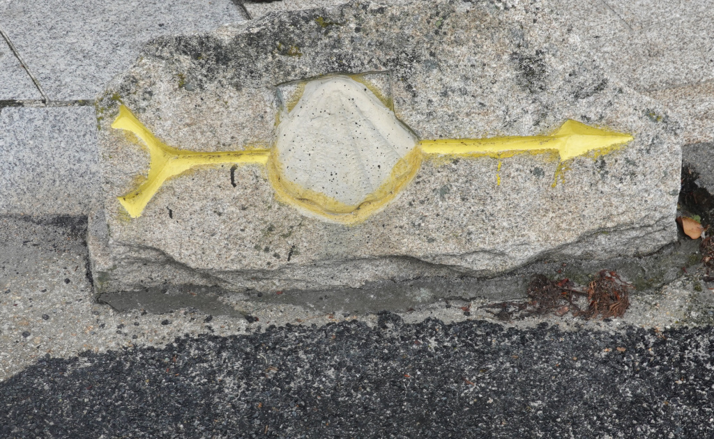
I learned that the rock art Camino arrows were made by a sculptor from Ourense named Nicanor Carballo. The sculptures are only in the province of Ourense, so after we leave Ourense sometime today, we will see no more of his fun, whimsical waymarker sculptures. We saw two today, both smaller than those we had been seeing:
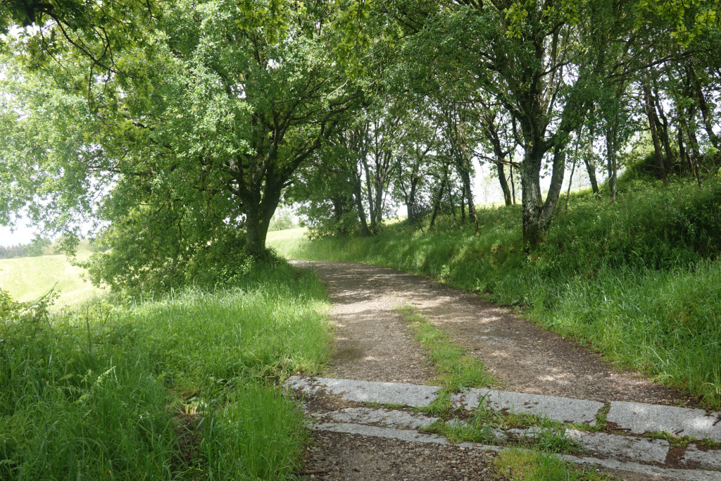
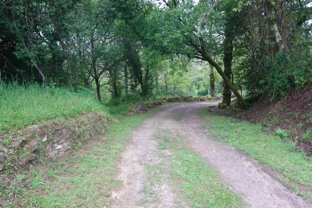
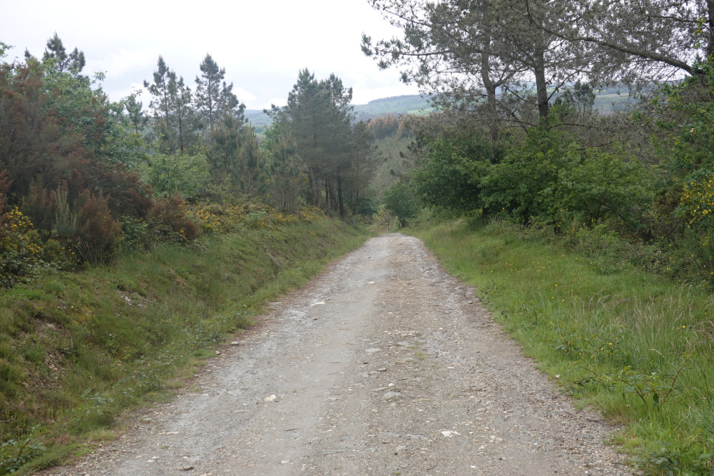
We left Cea and were soon on a natural path in the forest before the rain started. Not bad so far. And like I have said repeatedly, it is quite beautiful.
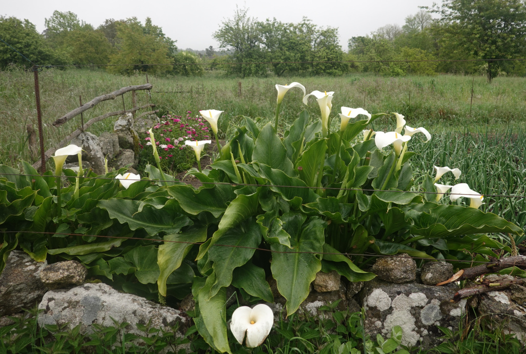
We came to a town where we thought we would take a break. On the way in, I spotted these flowers that look very much like calalillies. They are probably loving the rain more than we are.
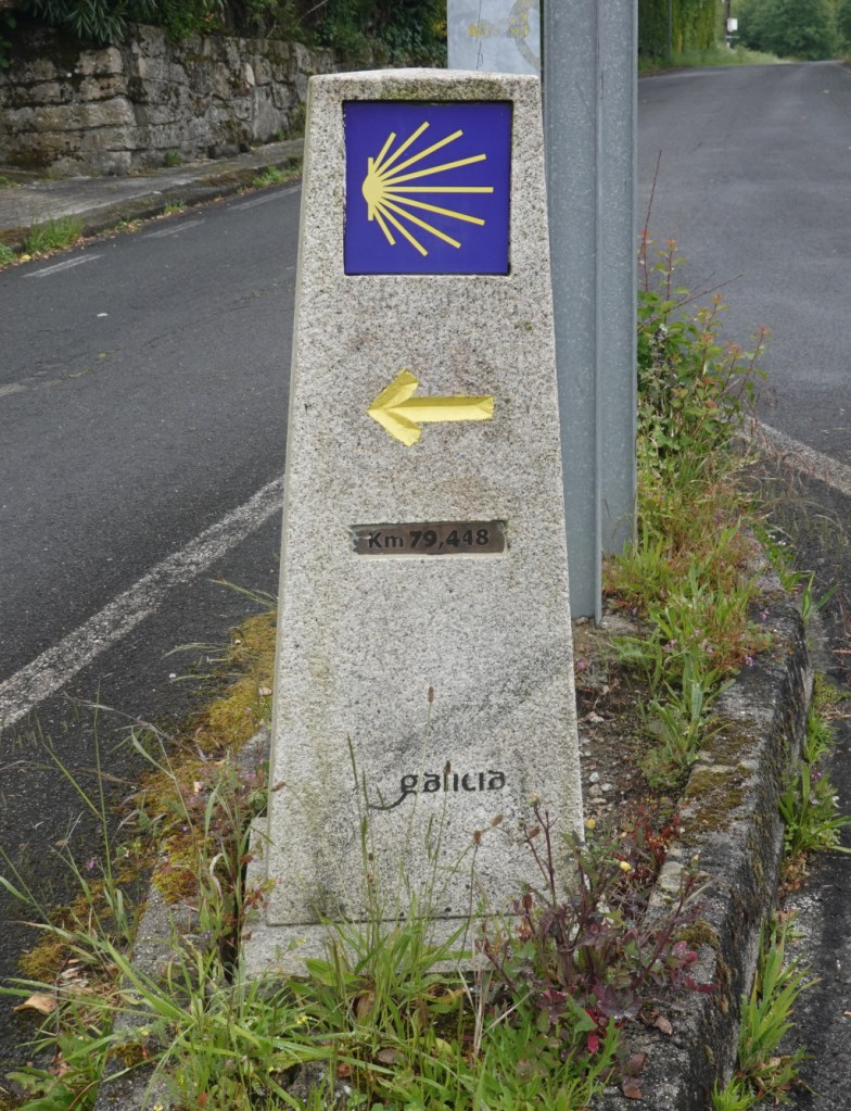
We passed a bar that was open, and stopped for a cafe con leche, a fresh orange juice, and a chocolate croissant. Loaded with some fuel, we continued on and soon found a Camino monument waymarker with the kilometers to Santiago de Compostela under 80. For those of us who think in miles, that is under 50 miles to go.
And then we were back in the forest in the rain. A very wet day.
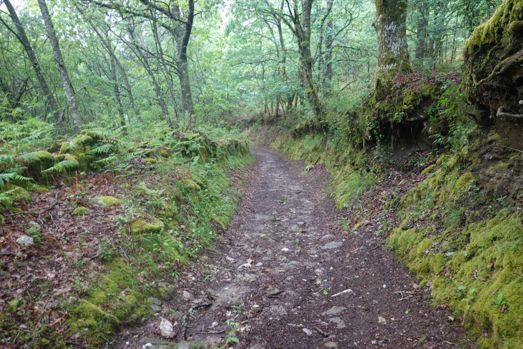
Thankfully there were plenty of rocks. Those prevent sinking into the mud. And a little further on, a series of granite slabs had been placed as a footpath. Thank you to whoever places those slabs!

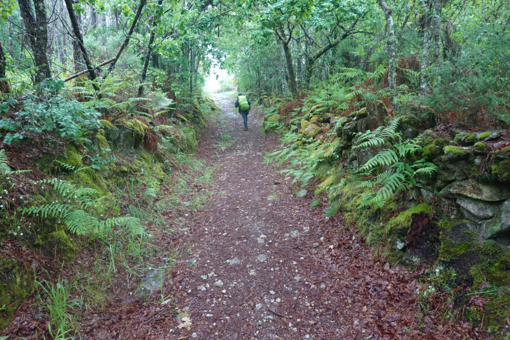
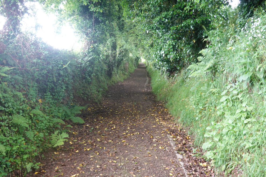
We came to a section with an abundance of ferns, just like in western Washington almost. I got a photo of Dan ahead of me here with the ferns on both sides.
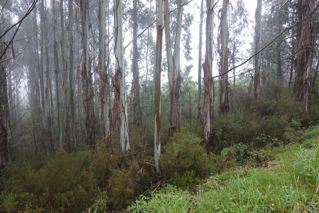
Our strategy today because of the rain is to take a paved road near the Camino route whenever practical and/or possible. On one such road, in the rain, we passed a large stand of eucalyptus trees, very much like what we see in California.
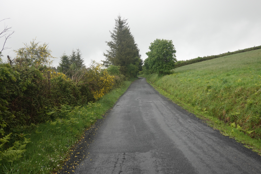
The rain continued, and all around us was lush green scenery, sometimes with flowers.
For a little while, we saw lighter skies, and our hopes were that the rain might be over. Unfortunately, another large, low, and dark cloud rolled in and the rain came again.

We were finally over the mountain and started a long downhill section. It is easy to take the downhills too fast and then easy to lose footing and maybe fall. So best to temper the downhill speed.
After crossing the high-speed rail line, we had one last uphill section to go. It seemed very long after a long, wet day. We did make it up and into the town where we would meet Ron.
We met Ron at a bar and had a delicious Spanish tortilla and a bowl of lentil soup. Then we got a ride to our accommodation in a nearby town. Tomorrow is a shorter day at 15 kilometers, and it is supposed to rain again. Three more walking days to Santiago de Compostela.
Next: Estación de Lalín to Silleda, 15 kilometers

Ron had a better plan for rain.
LikeLike