Thursday, 16 May 2024
Ourense to Cea
23.2 kilometers
Today was another cool and rainy day on the Camino de Santiago. We left Ourense at about 8:20 AM. Ron is having some difficulty with his knee, so he is taking a rest day and will take the bus to meet us at Cea, our destination today. In spite of the off-and-on rain, it was another beautiful day in Galicia, the northwestern most part of Spain.
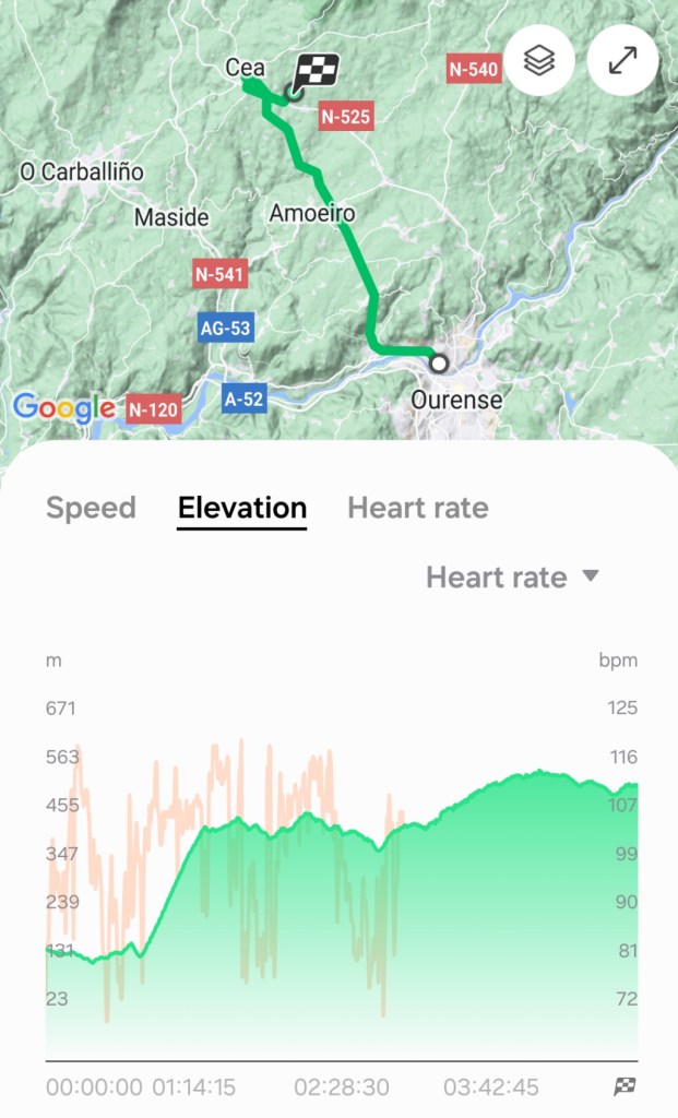
After walking along a very busy main street in Ourense, we finally turned off and soon we were on a hill, a STEEP hill, and a LONG hill. It was a paved road, but only about one and a half lanes wide. Cars went by quickly going both directions. We wondered when this hill would end. From the map of the left, you can see that we are going more north than west, but still basically northwest towards Santiago de Compostela. And from the profile map, the long, steep hill near the start is clear.
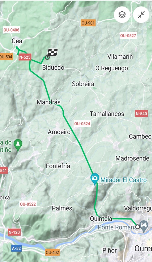
The reason for what looks like a back-track near Cea on the map is that we went to Cea to meet Ron, but our accommodation is 3 kilometers to the south. After meeting Ron at the bus stop, we had lunch and walked back to our accommodation.
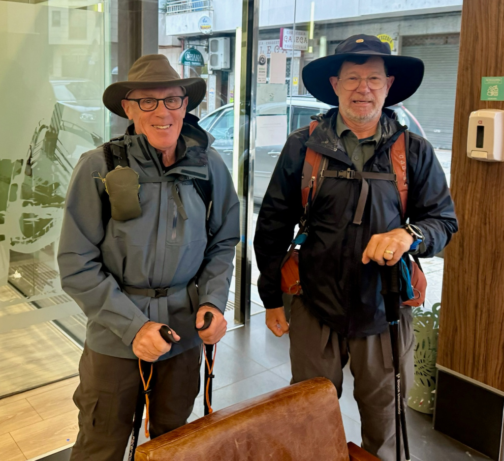
We started the day at our hotel in Ourense, saying “see you later” to Ron until we meet in Cea later in the afternoon. Dan and I are fresh and ready to go. The Camino route is 20 meters from our hotel, so getting onto the path in the morning was easy.
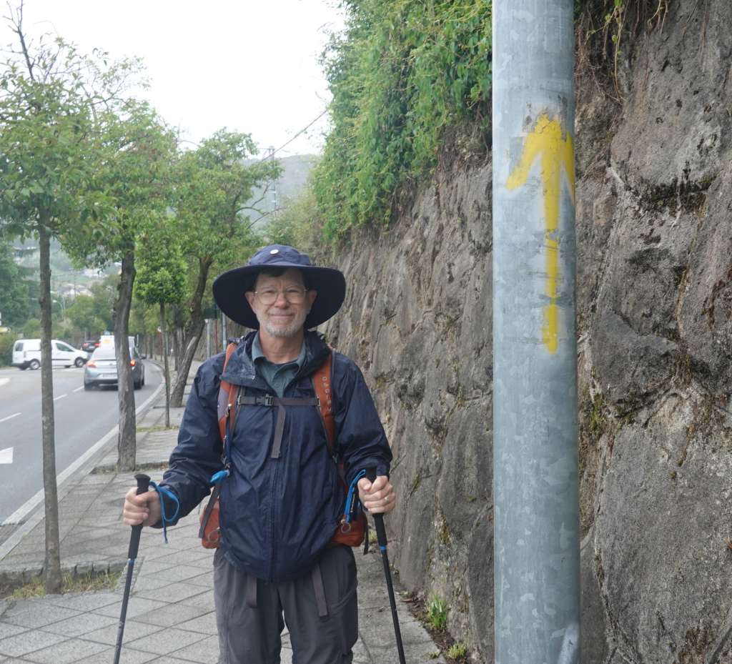
Very soon we came to our first yellow Camino arrow of the day, on a street light pole, so I took a photo of Dan at our first arrow. We are on our way.
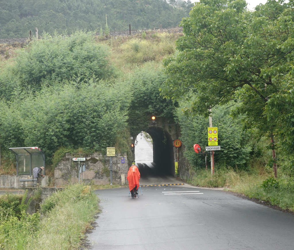
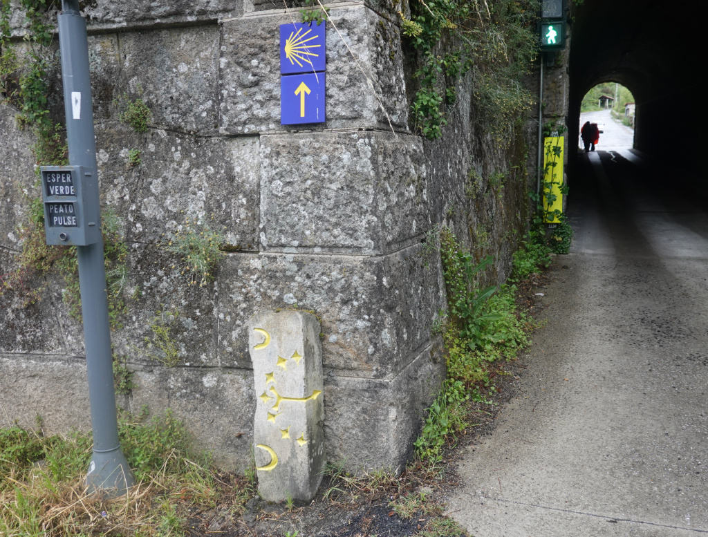
We made a right turn off the busy main street and saw that we had to go under the non-electric railroad through a one-lane short tunnel. The tunnel is managed almost like a crosswalk – pedestrians press a button, automobiles get a red light, and walkers get a green light. Here are two photos of the tunnel, one approaching as a pilgrim in an orange-red poncho goes through the tunnel, and a close-up as we are about to go through. The Camino arrow can be seen, as well as the green light in the upper right.
Then we started the steep and long ascent of the hill. I did not stop to take a photo, but that hill was memorable for how long and unrelenting it was. Wow! One unforgettable hill! And making it even worse were the frequent cars whizzing by in both directions.
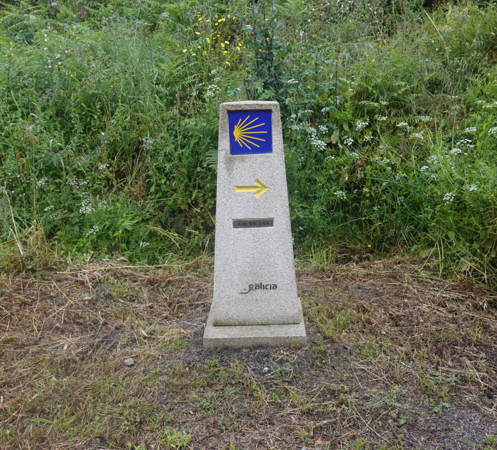
We knew that Ourense was a little over 100 kilometers from Santiago de Compostela, and after we made it up that long, long hill, we saw our first Camino waymarker showing less than 100 kilometers to go to Santiago de Compostela. The numbers read 99.144 kilometers to go.
After a very short time catching our breath, we came to the second steep and long hill. Here, I did get a photo, but photos do not really show just how steep and challenging the hill is. On this hill, there were no cars at all, so that was better.
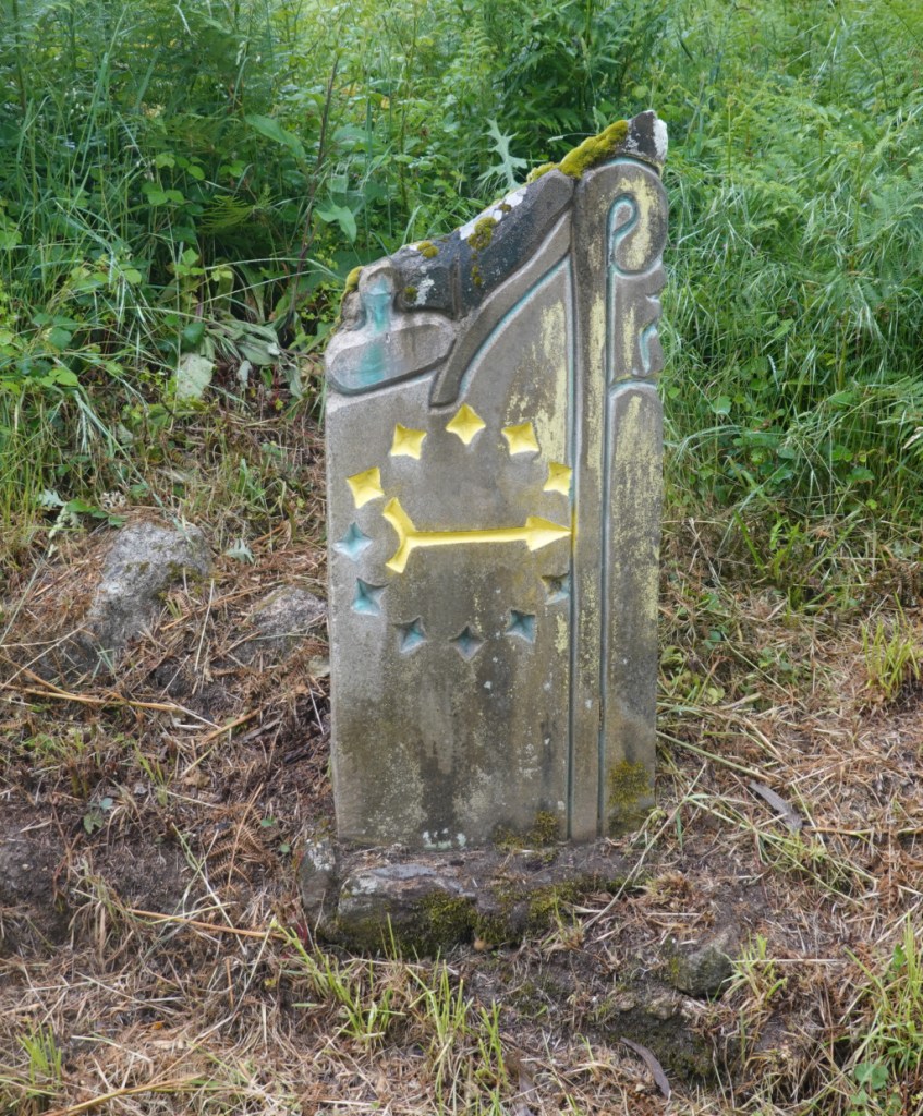
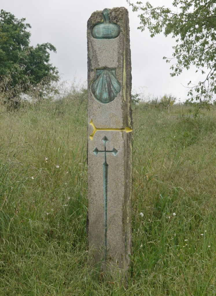
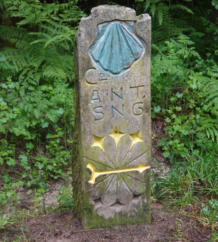
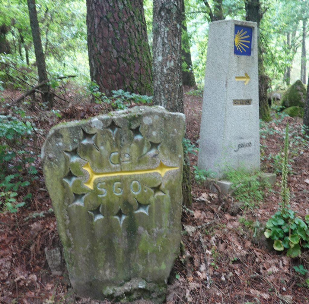
I have always liked the Camino arrows in all of their various forms, on waymarkers, on signs, painted on poles, on fences, and even on rocks. This year, I have seen what I call these folk art Camino arrows carved into large rocks including a Camino shell and a gourd. Here are some we say today:
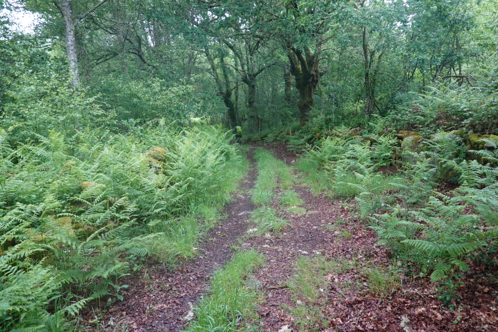
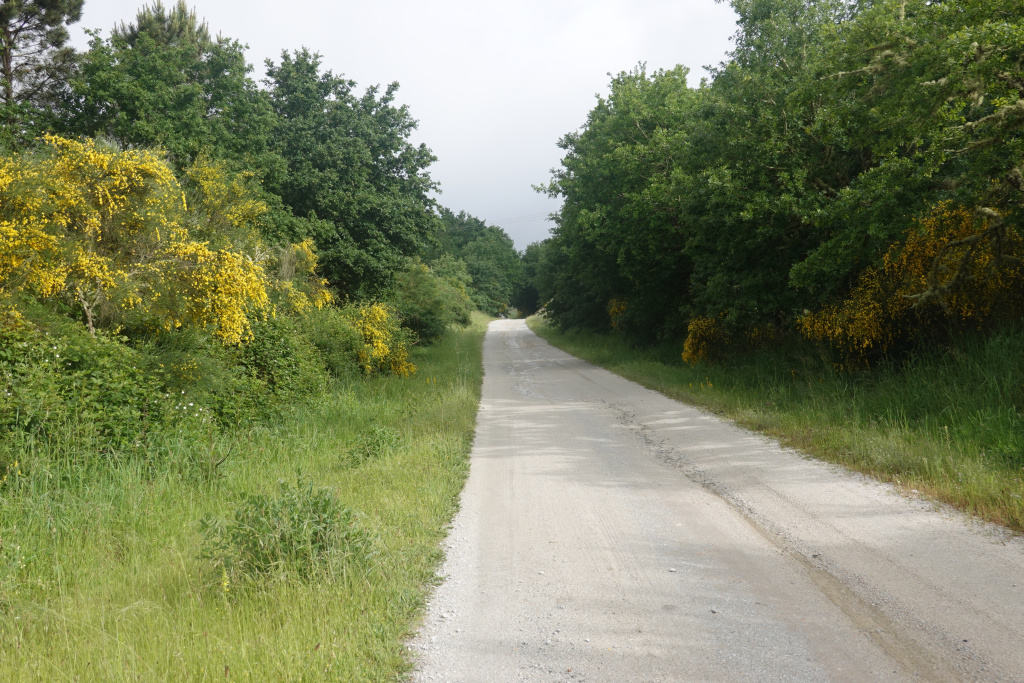
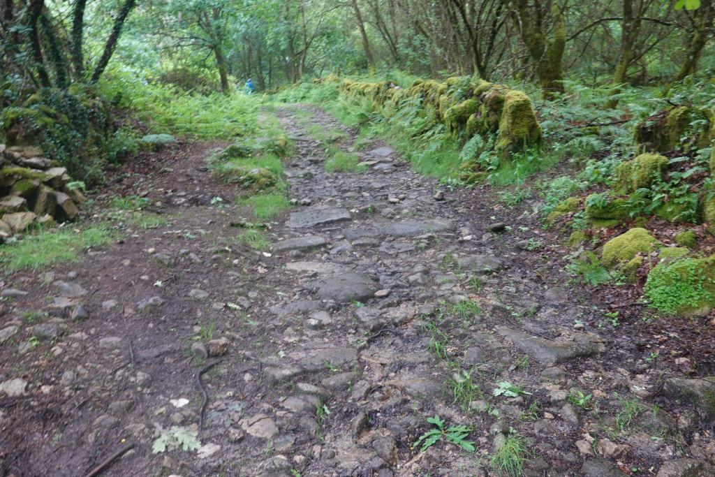
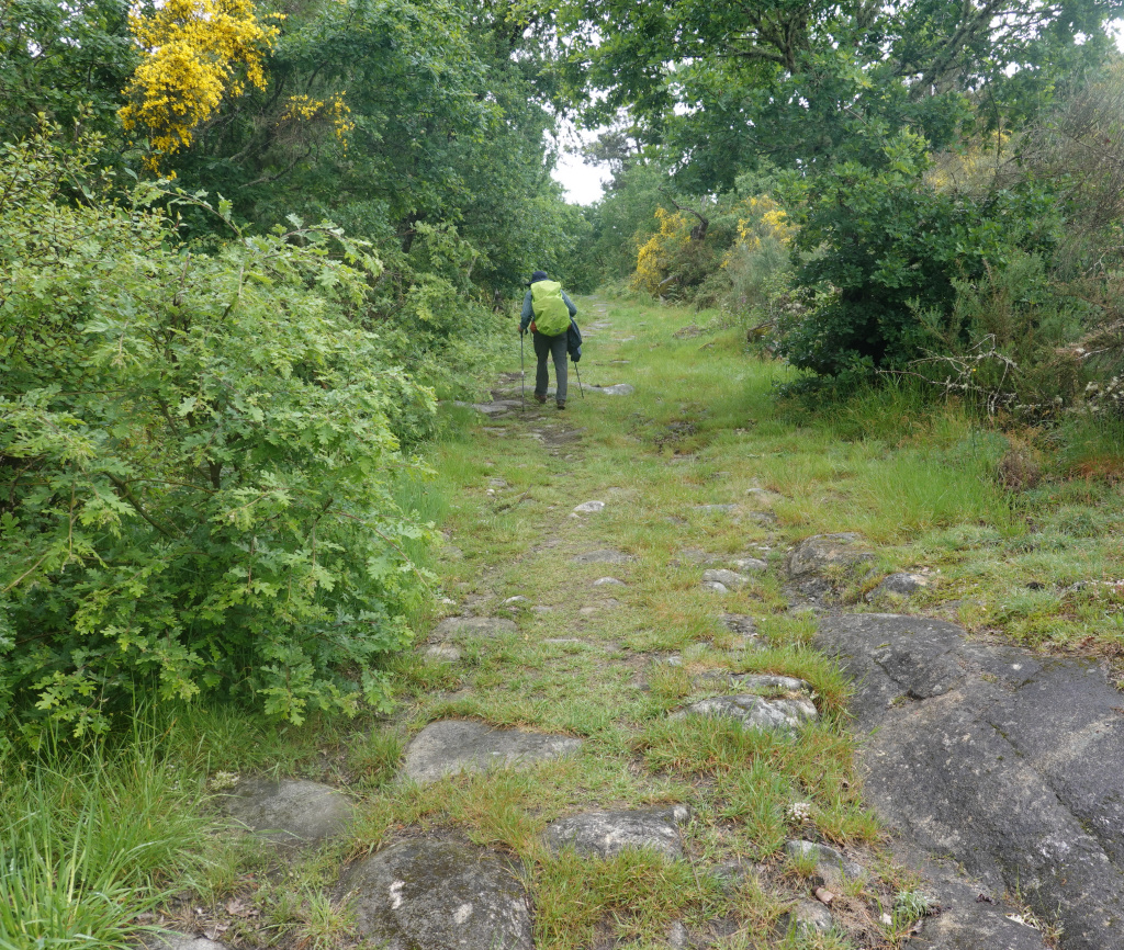
After getting over the two hills making up the steepest part of today’s walk, we were on a road for a little while, then onto natural paths in a clearing of sorts. With all the recent rain, including heavy rain last night, everything is wet and can be rocky and slippery.
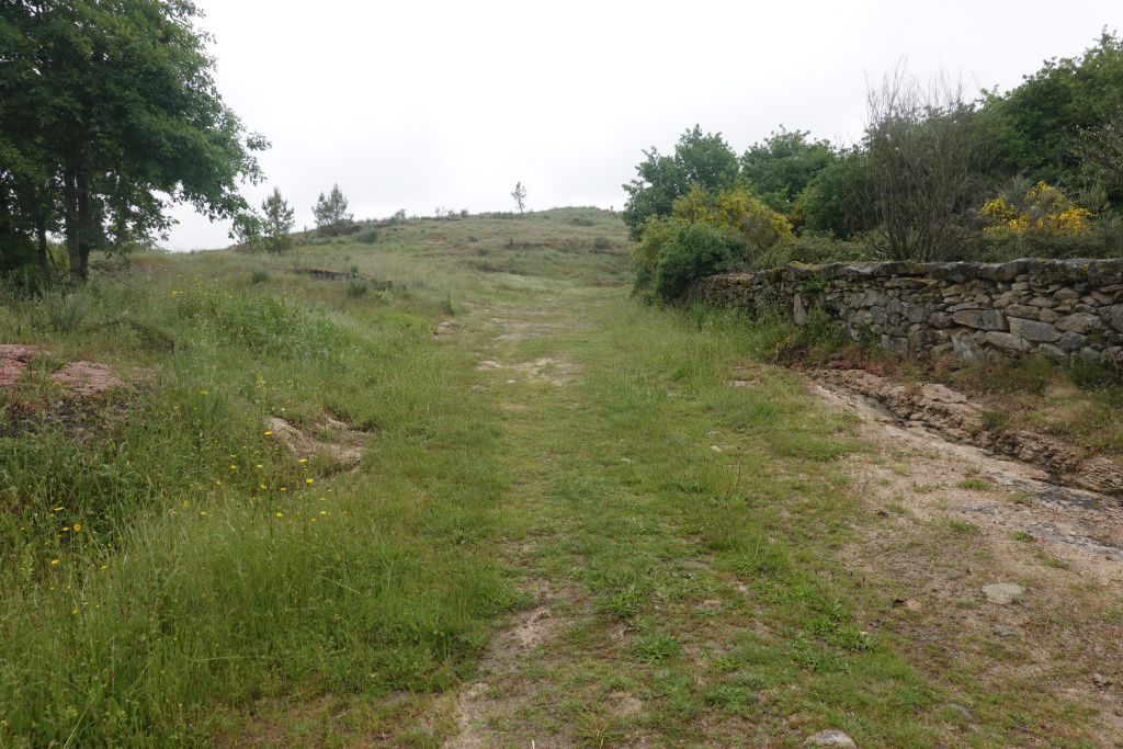
Then the Camino path took us back into the forest on natural paths. This translates to wet and possibly muddy. We did see no shortage of muddy paths today. In the photo below, the path is more sandy than muddy dirt, so it drains better and provides solid footing. We can make good time on paths like this, but mud was to come.
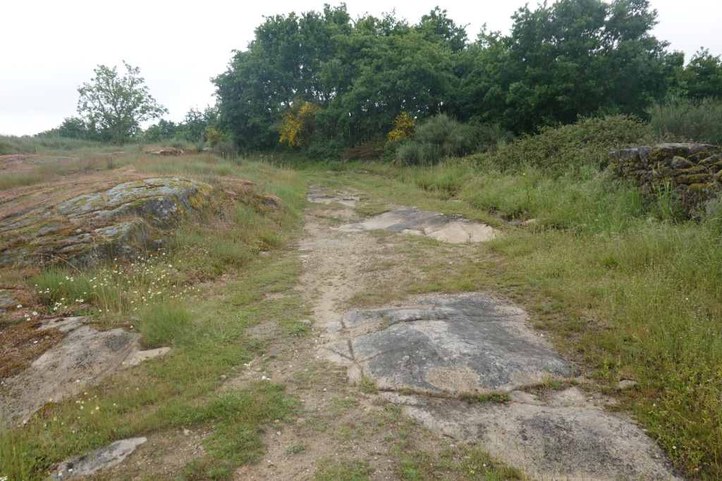
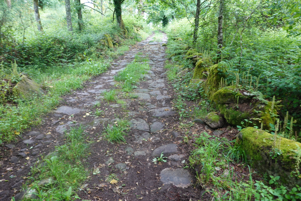
Often the path was rocky and wet, but still uphill most of the day.
We crossed over a very old Roman bridge and into a very small village. The very uneven stone roadbed is much like parts of Roman roads I have seen and makes me wonder how carts were able to traverse Roman roads and bridges.
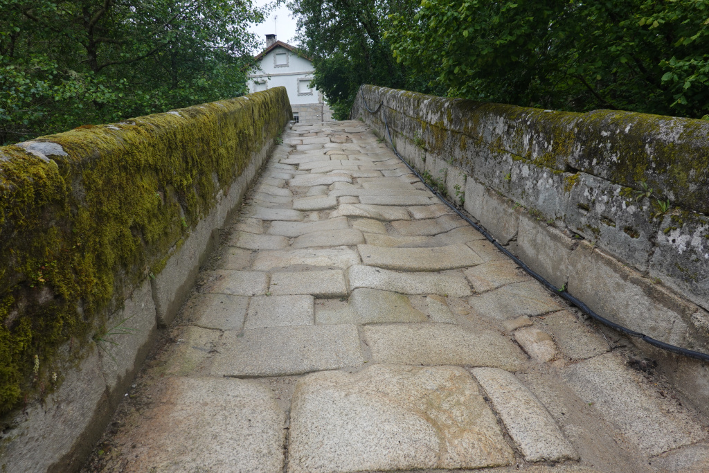
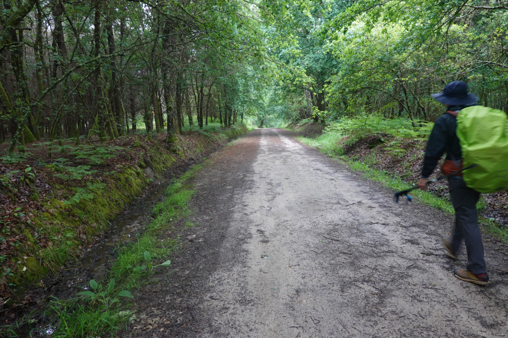
We saw no people and there were no bars or restaurants to be seen. After a short walk through the small village, we were back in the wet forest.
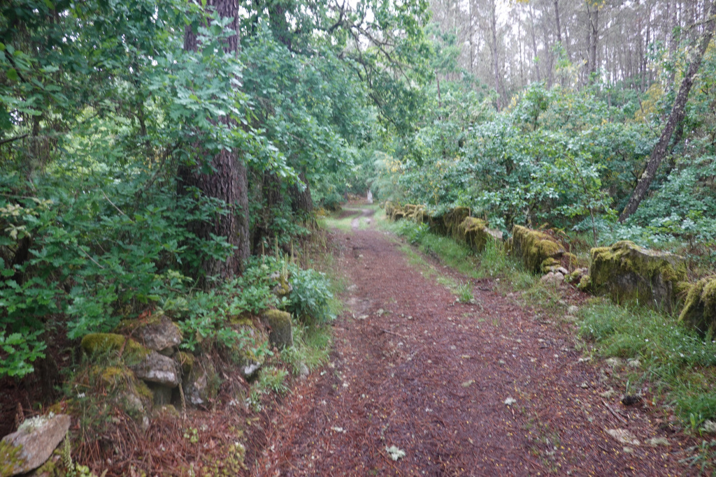
Or back in the wet grass. The natural paths were wet, wet, wet, and often muddy. Here are a couple more photos of the path today. I often did not take many photos because it is best to focus on where to step to avoid sinking into the mud.
And often, those paths were rocky. We preferred the rocky paths because we could avoid the mud better by using the rocks as stepping stones.
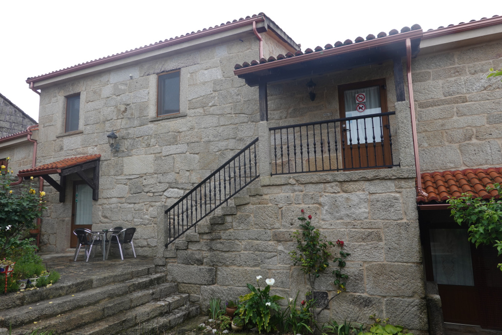
It was a long, cool, wet day on the Camino de Santiago. We had lunch in Cea before Ron’s bus got there, then met Ron in Cea, and sat with him as he had his lunch. Then we all walked the 3 kilometers to our accommodation for the evening, a very nice house in a tiny village.
The owner and our host offered to drive us into Cea for dinner and we accepted. We were not eager to walk almost 7 more kilometers in the rain. More rain is expected tonight and tomorrow, and then the weather just might start clearing up in time for our last two or three days of walking to Santiago de Compostela. With the unseasonably cool and persistent rain, this pilgrimage walk on the Camino Sanabres route of the Camino de Santiago has certainly been an adventure.
Next: Cea to Estación de Lalin, 31 kilometers
