Tuesday, 14 May 2024
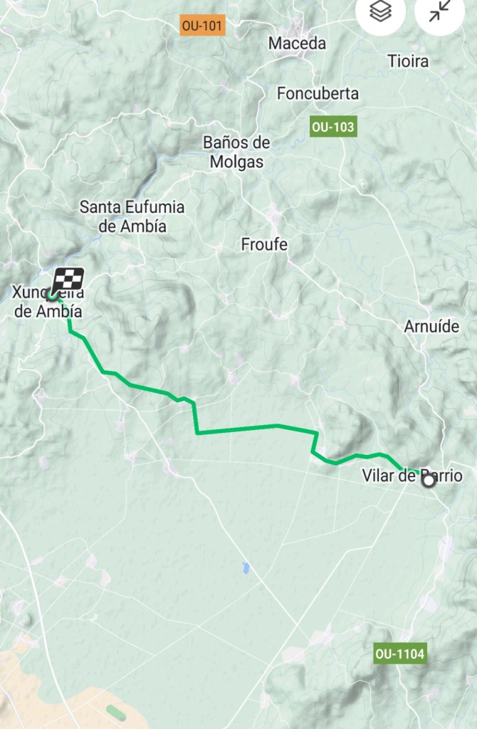
Vilar de Barrio to Xunqueira de Ambia
14.5 kilometers
When we woke this morning, we had concerns that it might be a challenging walking day on the Camino route towards Ourense and Santiago de Compostela. There was heavy rain overnight amounting to almost half an inch. Rain means mud on natural trails, so we were hoping that today’s route would be partly over paved secondary roads. And much of the route was on good surfaces, paved or good-draining sandy dirt. Sometimes we were in the forest and we had to again negotiate stretches of mud.
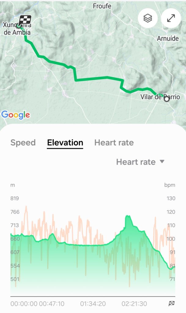
Much of the day’s walk was fairly flat, then we ascended a fairly steep, but manageable hill followed by a steep, and treacherous downhill. One of the guidebooks said, “Caution is advised on the final descent to Xunqueira de Ambia which can be slippery when wet.” Given the rain, we were on the lookout. From the map, we are headed west-north-west towards Ourense tomorrow and then on to Santiago de Compostela.
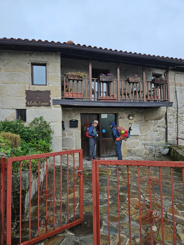
We left our accommodation in Vilar de Barrio in the rain, a nice stone house slightly off the Camino path. Our breakfast was to be in a bar in town, and we discovered that it was the same place where we had a late lunch yesterday. After breakfast, we hit the road at 9:00 AM in very light rain, hoping it would not get worse.
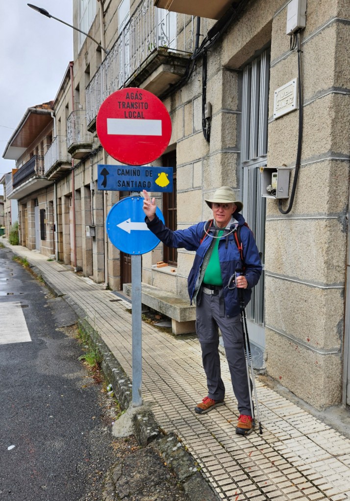
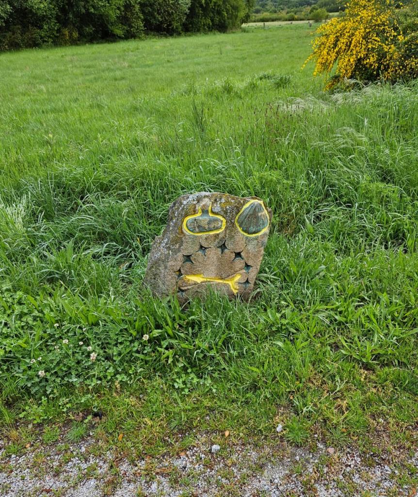
We like to see different types of Camino signs pointing the way. There are many standard types, and we see some that were possibly placed by people in the local area. Here Ron points the way with a sign we have not seen before agreeing with which way to go.
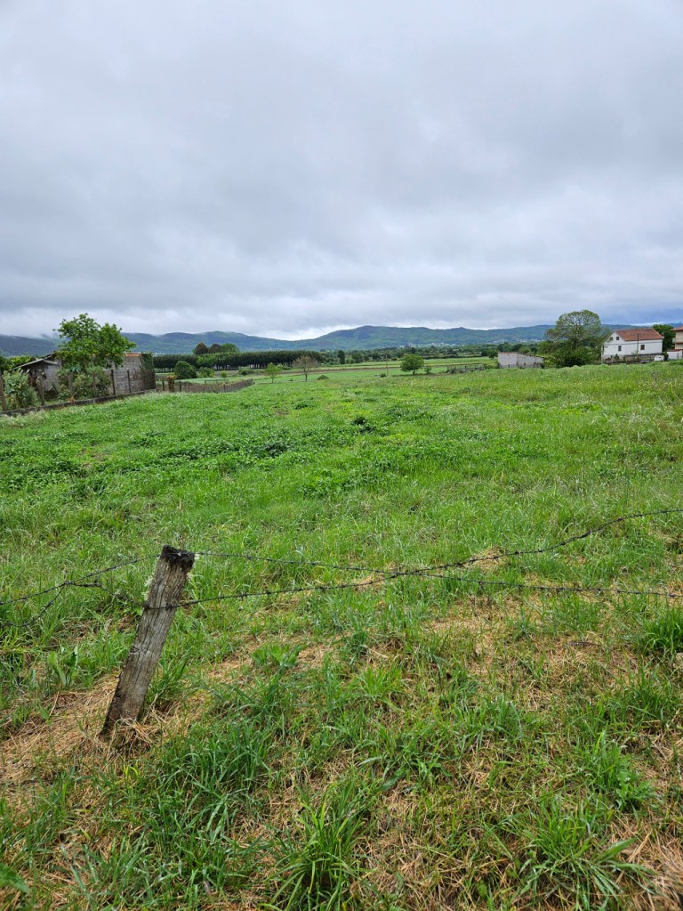
Soon we were out of the town and into the fields, lush and green after recent rains.
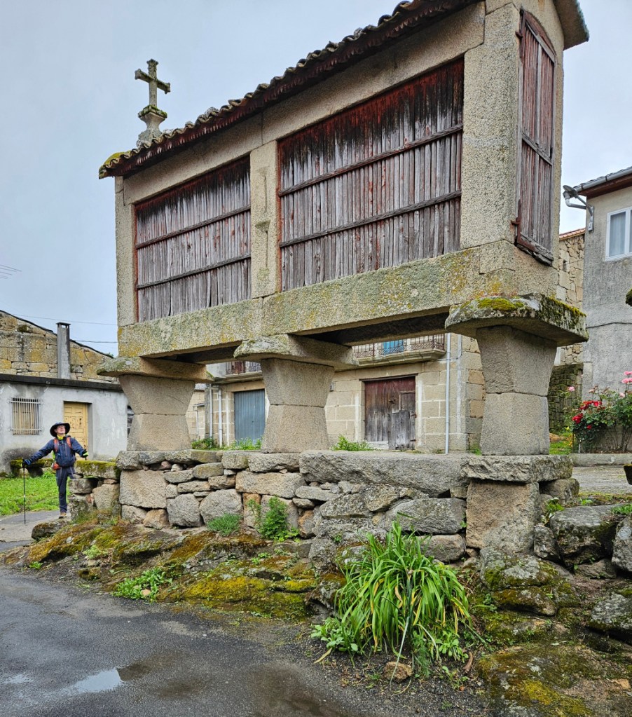
We are starting to see a number of “hórreo.” These are Galician granaries, used historically to store grain raised by pillars to prevent access by rodents. Ventilation is by slits in the sides. We saw many today – here are two, one of which is right by a Camino waymarker. Some of these re large, like that in the left photo. The scale can be seen in comparison to Dan standing to the left marveling at the size.

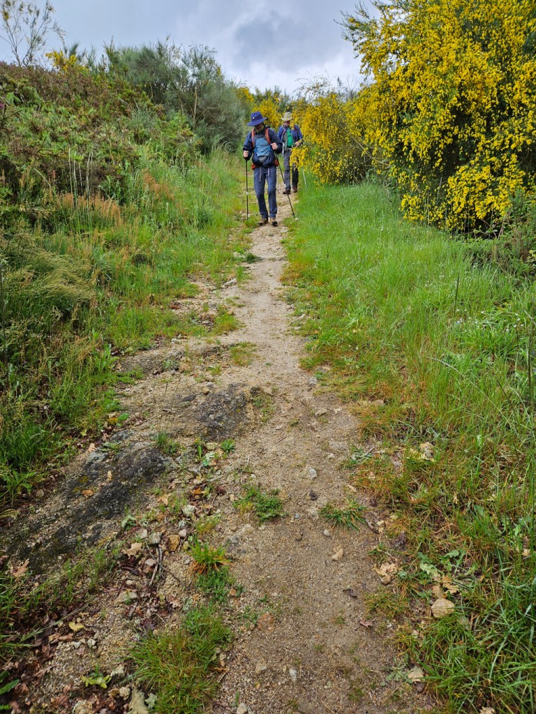
We continued along through farm fields, a lush green part of Galicia.
Then we saw the first today of the Camino waymarkers with the shell and gourd insignia near the arrow we saw yesterday.
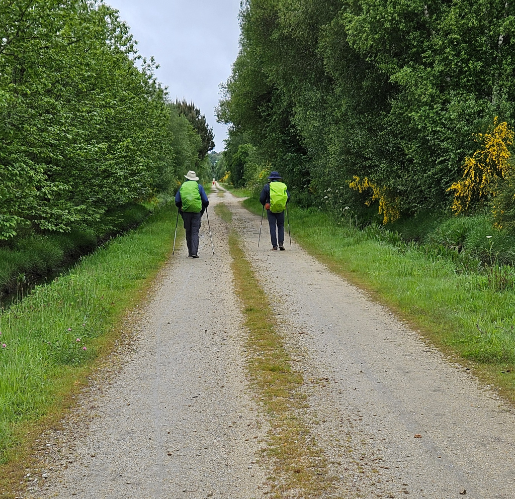
The rain increased, so we stopped to put on our backpack covers. We like that they are bright in color; with the dark, gray day, we want motorists to see us well.
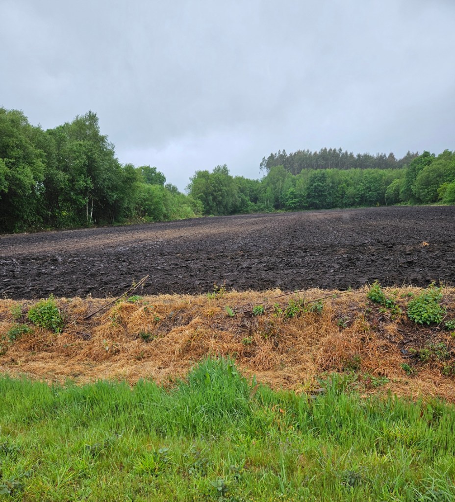
We passed a newly plowed field. The dirt is a rich, dark color and has a look of being very fertile.
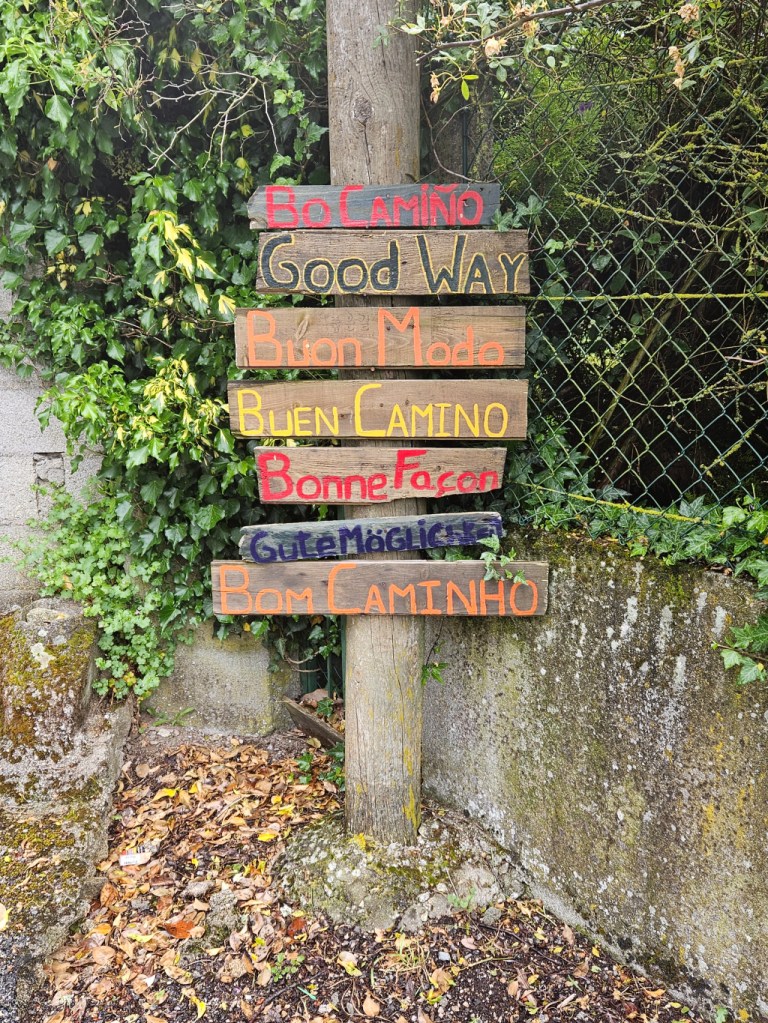
We passed through several very small villages today. In one, a sign was erected wishing pilgrims a “good way” in several languages. The typical greeting to pilgrims by locals and between pilgrims is “Buen Camino.”
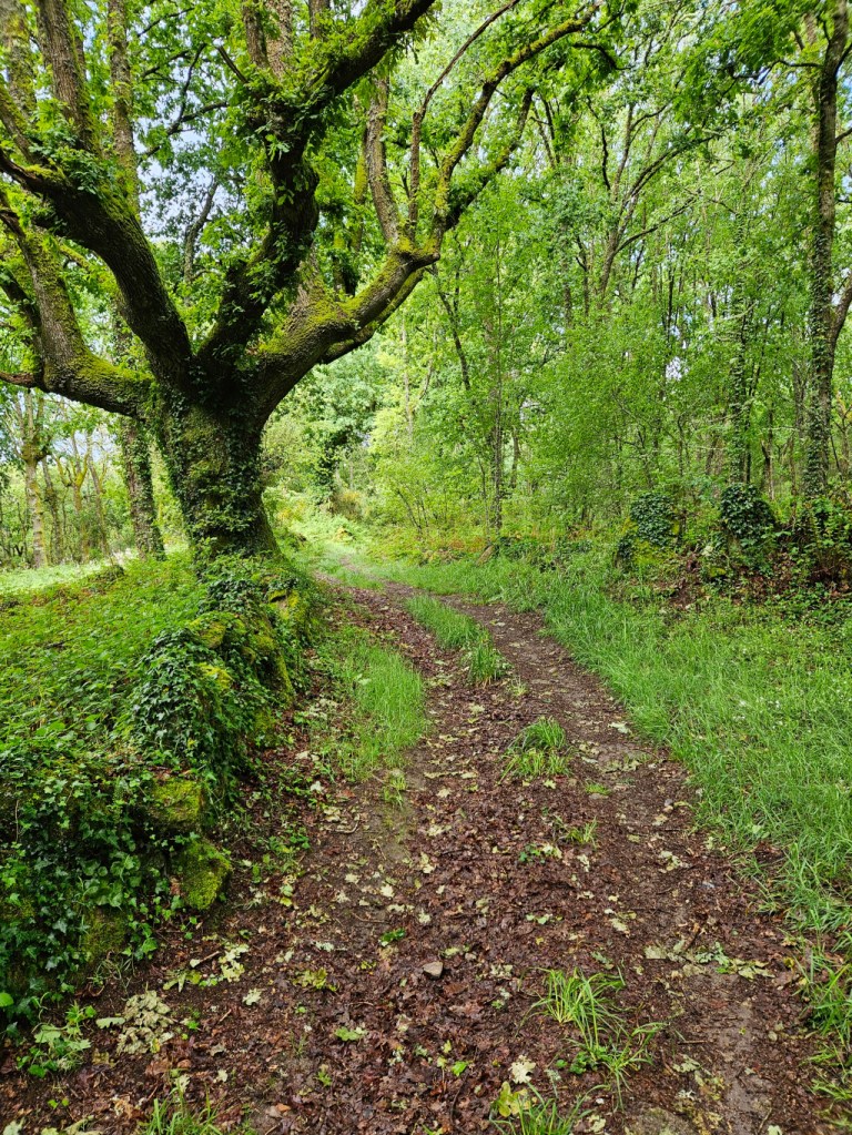
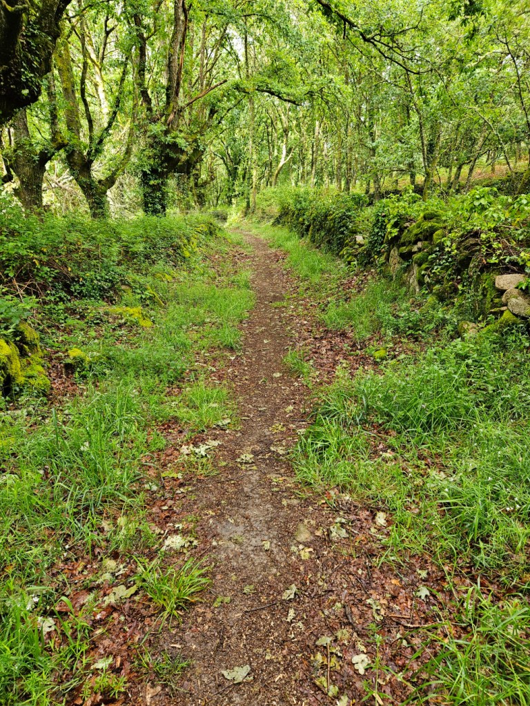
Right after this sign, we went into the forest on a natural, very damp path, foreshadowing mud to come. While we are not excited about negotiating muddy stretches of the path, it is very beautiful in the lush green forest.
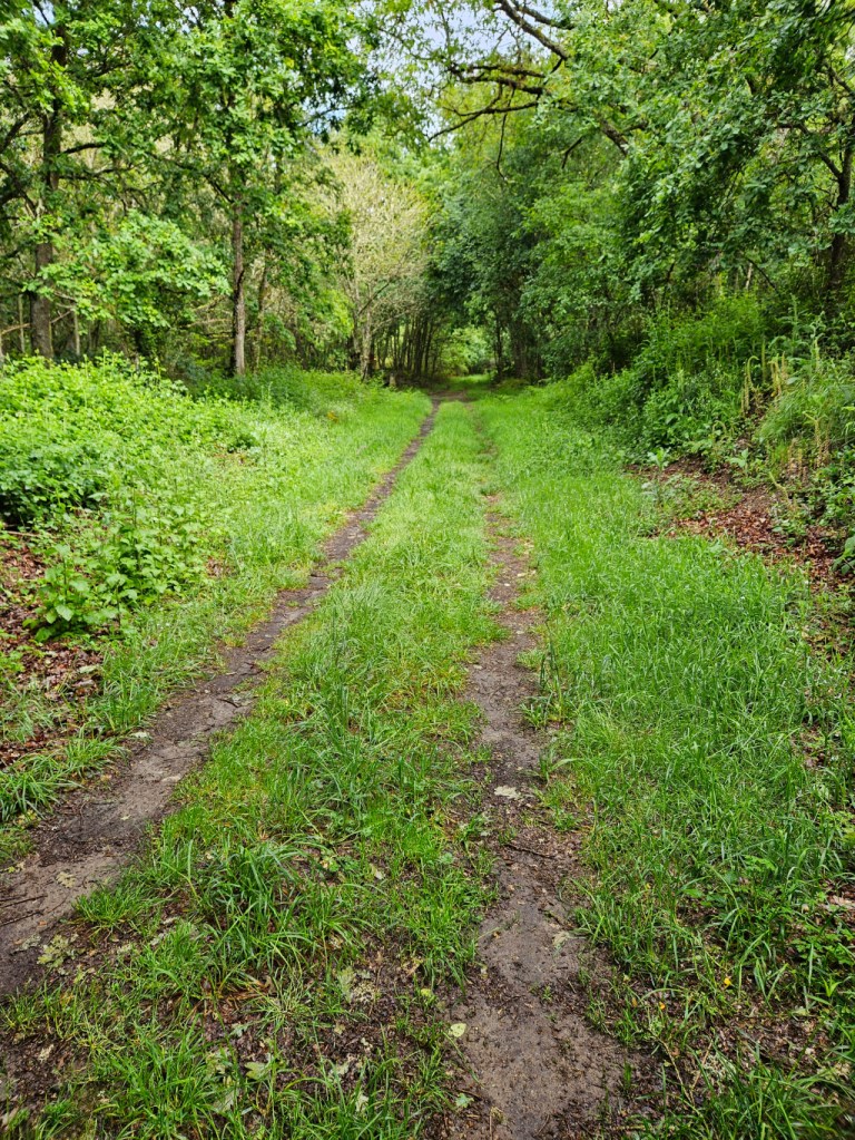
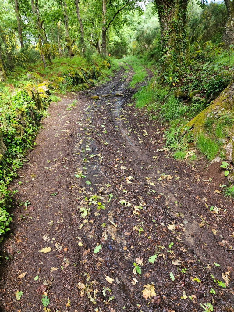
And the mud did come. We all got wet feet, but less mud in our shoes than a few days ago. In the photo, the ground looks solid, but when you put your foot down, it sinks down several inches or more. The best plan is to step on the weeds or use the edges if they are more firm – sometimes they are, sometimes not. It is almost a game to see how much mud can be avoided.
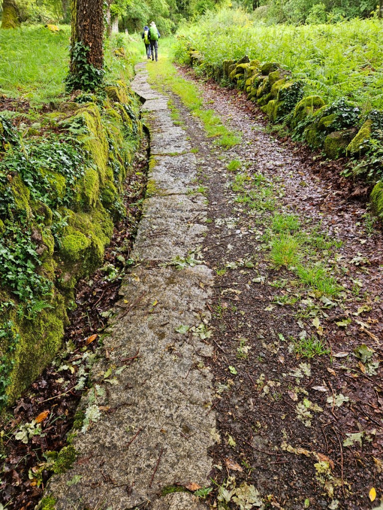
Occasionally, as I mentioned yesterday, granite slabs have been placed in the ruts of the road to give farm vehicles traction. We use these for walking since they are solid.
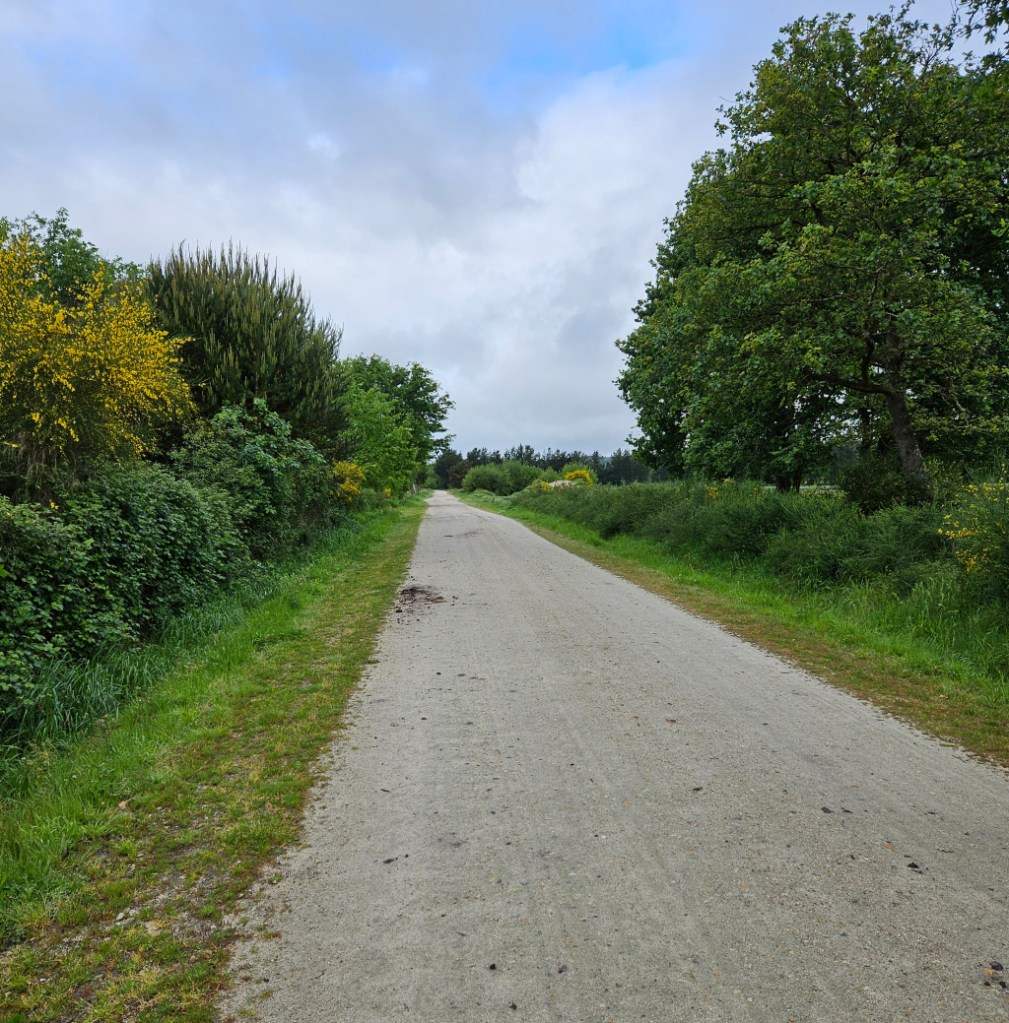
We came out of the forest into a large clearing and thankfully much less mud.

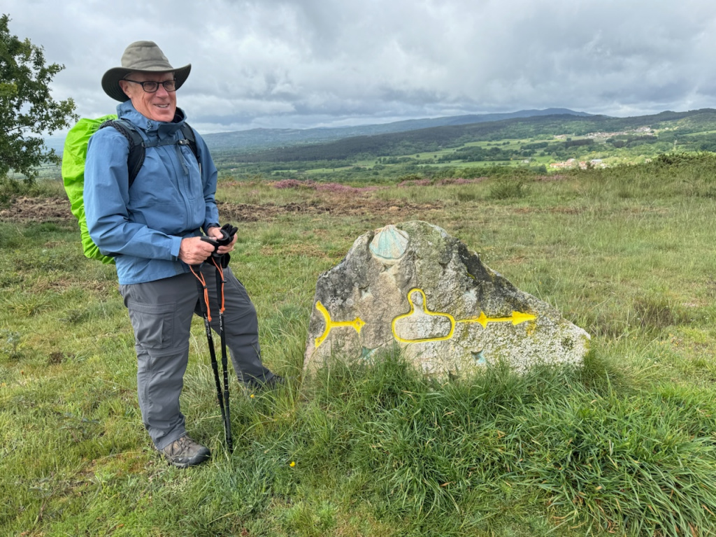
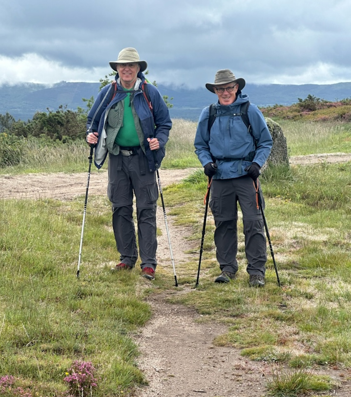
Ron took a photo of me at one of the shell & gourd Camino waymarkers. The view in the distance is strikingly beautiful.
And then Dan for a photo of Ron and me.
After rounding a couple of bends, we looked down and saw some boxes in part of a field. We speculated that they might be beehives. Ron sent a photo to a friend who is a beekeeper, and it was confirmed. We are seeing almost no bee activity today. On sunny days, the bees do like the wildflowers that are along the Camino path.

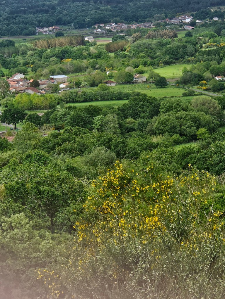
A little further on we were at the peak for the day and could see far in the distance our destination – at least we were pretty sure it was our destination.
Then we started down the hill, a difficult and slow descent, made more slippery in the recent rain. It was no longer raining, but still slippery. Ron shared a photo of the most difficult part of the descent, over large, uneven rocks.
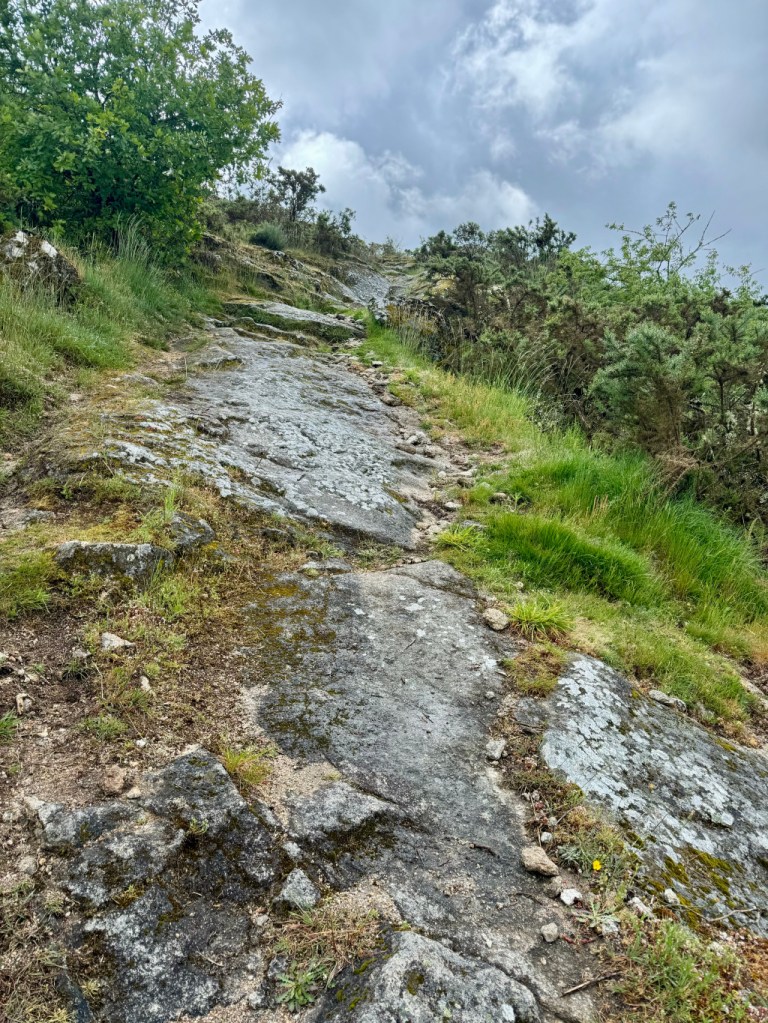
I got a photo of Dan and Ron finishing the steepest section after the large rocks.
Then just to keep us on our toes, there was one last forest & muddy section left for today. There was not as much mud in this section.
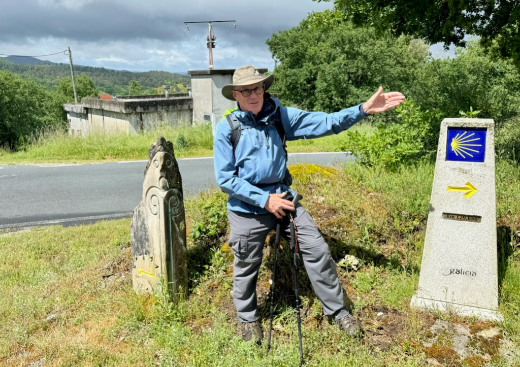
We finally came to the last turn on a paved road that would lead us into Xunqueira de Ambia. I posed for Ron pointing the way like the two markers on either side of me.
We walked into Xunqueira de Ambia and found a bar/restaurant for lunch. After lunch, we coordinated our transport to our accommodation in Allariz, a larger town about 25 kilometers from Xunqueira de Ambia. While we waited for the taxi, I got a photo of the church in Xunqueira de Ambia.

Our hotel in Allariz is very nice, and the lady who checked us in even did our laundry for us. Tomorrow morning, we will transported back to Xunqueira de Ambia to start the 22-kilometer walk into Ourense, another large town. We are happy to see that most of the walk tomorrow is gradually downhill.
Next: Xunqueira de Ambia to Ourense, 22 kilometers
