Monday, 13 May 2024
Laza to Vilar de Barrio
19.5 kilometers
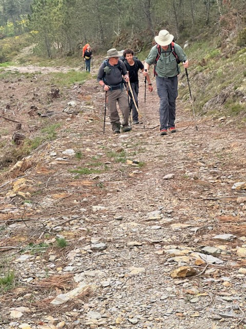
The Camino de Santiago pilgrimage route today from Laza to Vilar de Barrio was characterized by another climb up, over, and down a mountain. A long, steep, unstable climb up, a bit of a rolling section at the top, then a steep but less unstable path down to Vilar de Barrio. It was a cloudy day, threatening rain from the outset, and the rain did come for a short whil at the top of the mountain. Even with the difficult climb, the rain, and the challenging downhill, the day again quite beautiful with stunning vistas. Here is A photo of Ron and me about to be passed by a young pilgrim on part of the challenging climb:
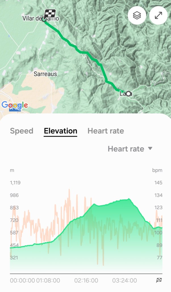
From the map we are now moving more northwest than west towards Santiago de Compostela. And from the elevation profile, the steep uphill and downhill is evident.

We left our accommodation in Laza just after 8 AM. We walked through the town and met a lady from Switzerland who was very eager for her morning coffee, so we directed her to the bar where we had dinner last night and where we were going to be walking by, anyway. Little did we know that she would be in the same pension (sort of a small B&B) in Vilar de Bario in which we are staying.
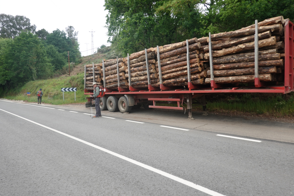
The first part of the walk today was flat and we knew it would not last. I did see a truck of cut logs and it was worthy of a photo as Ron walked by.
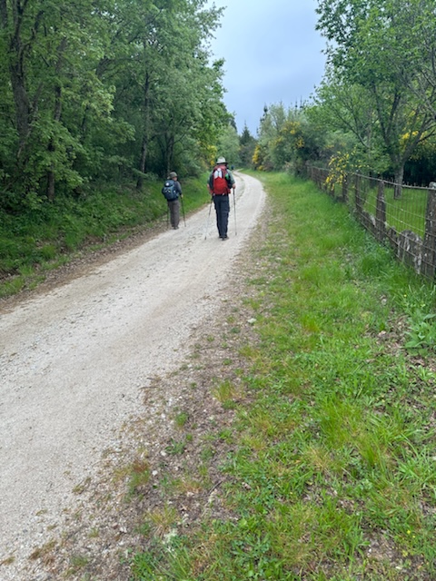
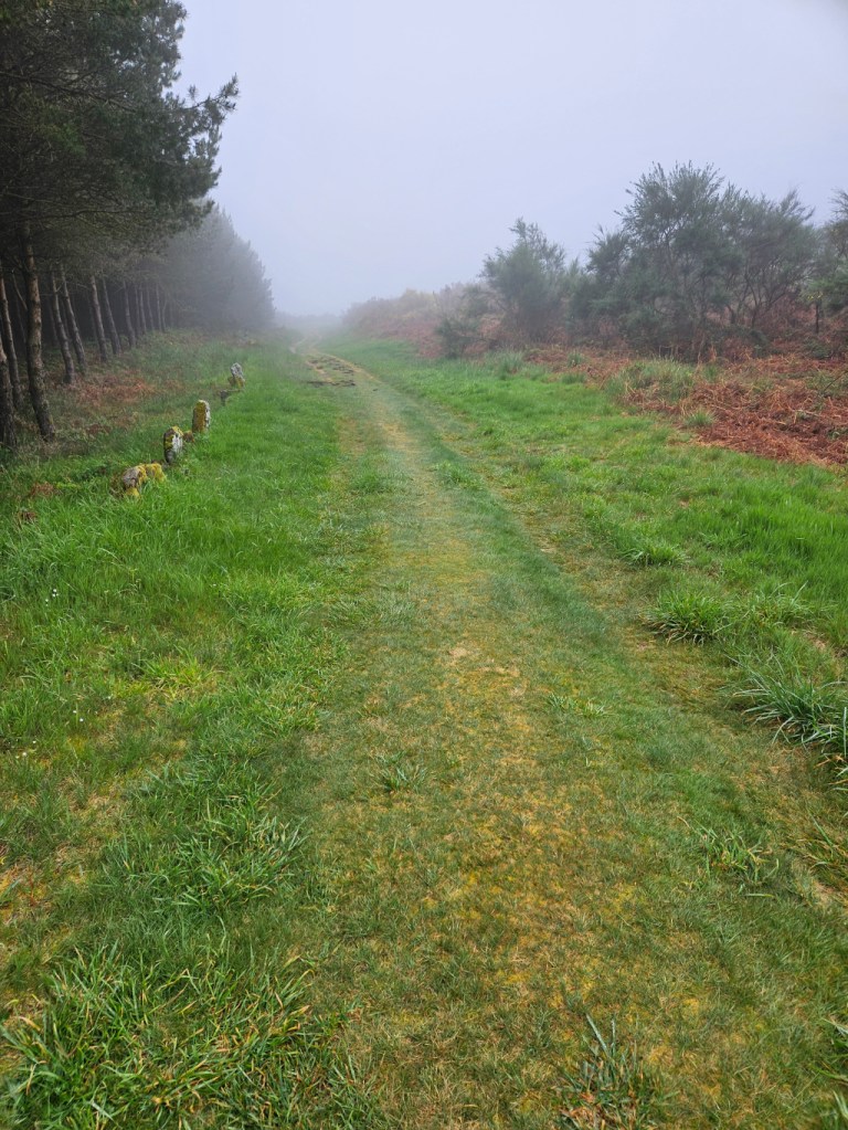
We continued on down the road, concerned about the threatening rain. Dan got a photo of Ron and me in the beautiful semi-forest.
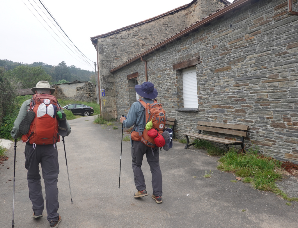
At the village of Soutelo Verde, we noticed many newly built or newly restored stone buildings. In this photo of Ron and Dan, the building on the right has beautiful stonework. And a bench is there for pilgrims to rest – too early for us to need a rest.
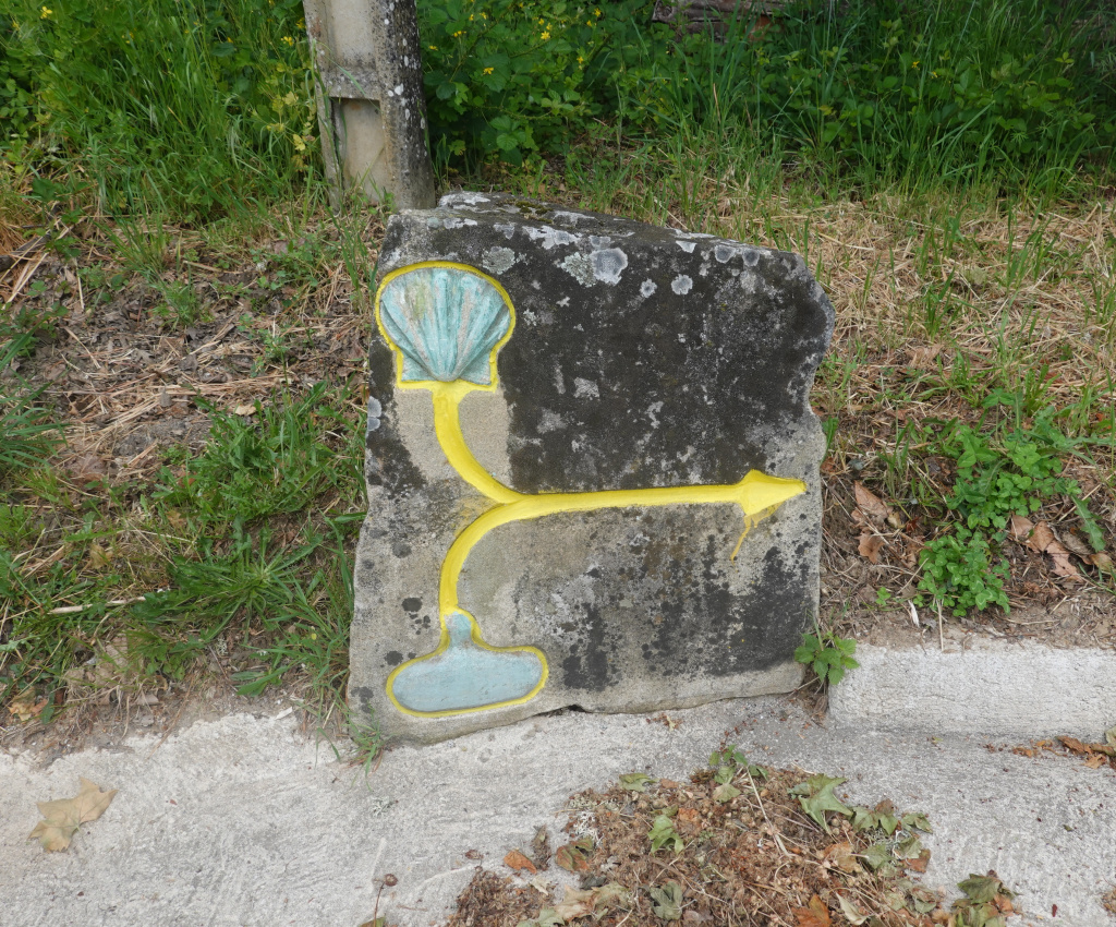
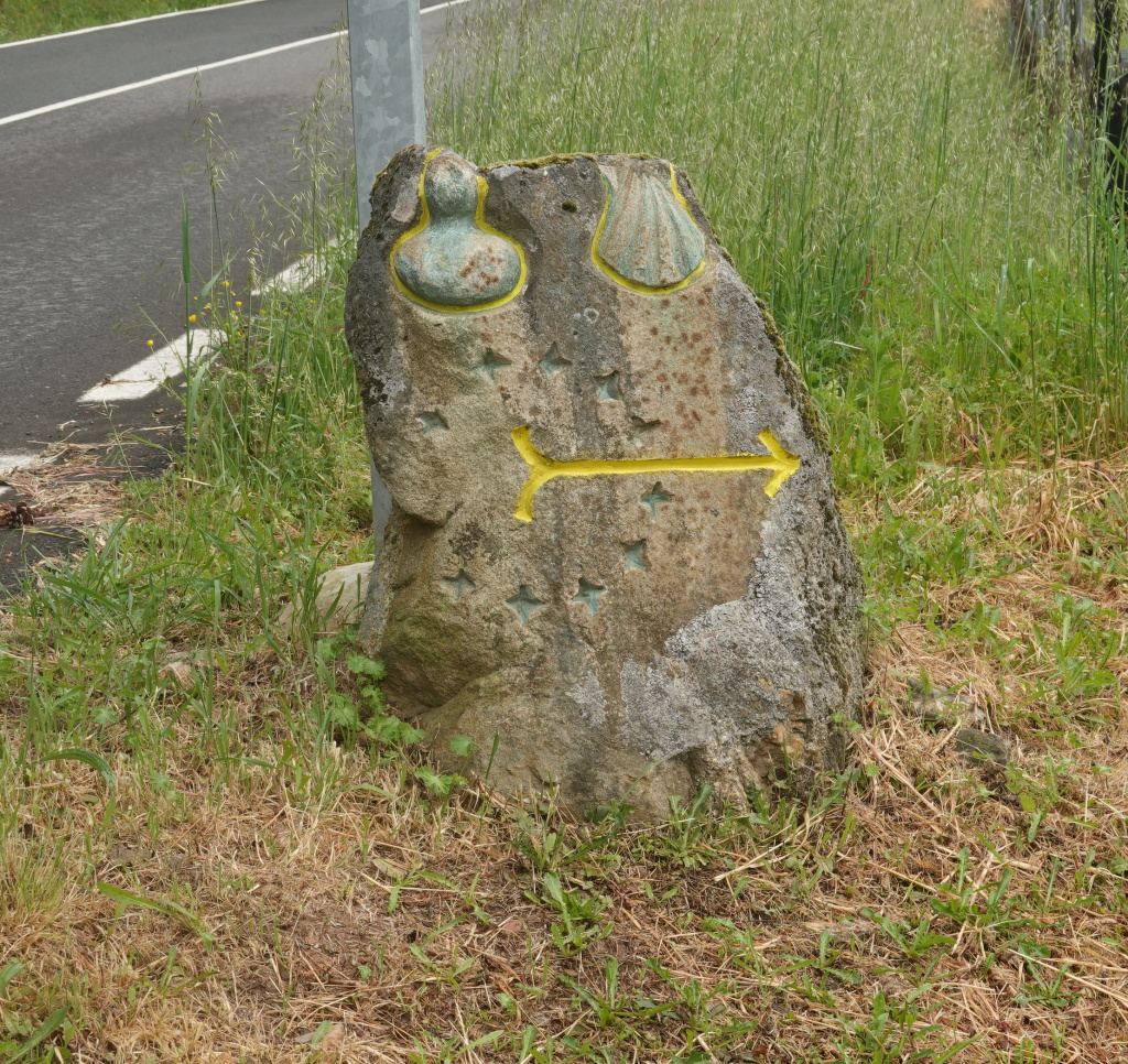
I have shown photos of the typical monument-style Camino waymarkers. Yesterday and today in addition to the monument waymarkers, we see these arrows carved into a stone with a Camino shell and a depiction of a gourd near the arrow. In medieval times, pilgrims carried water in a gourd. Here are two examples of the new arrows with the shell and gourd.
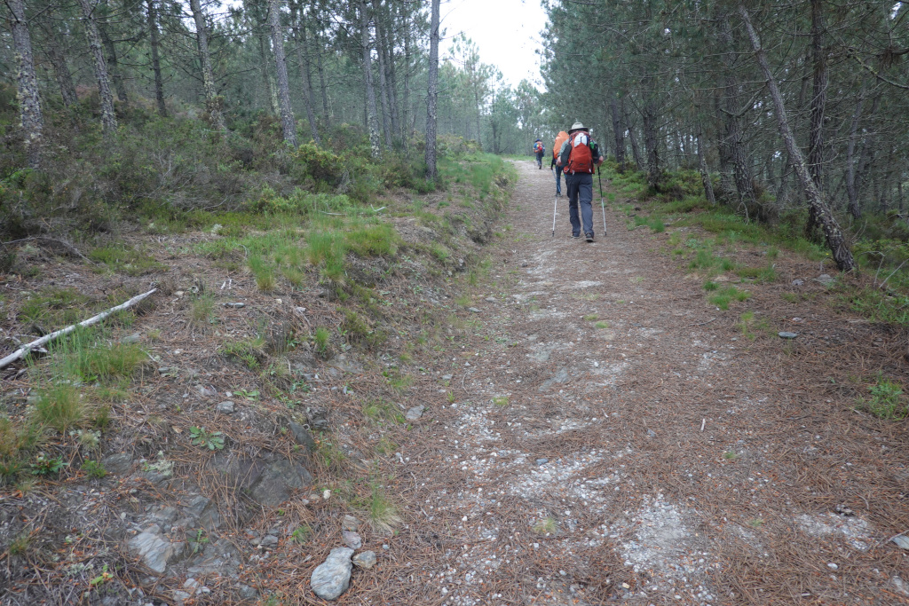
As we walked through a forest, the path started gradually uphill. Compared to what we experienced later, this is practically flat.

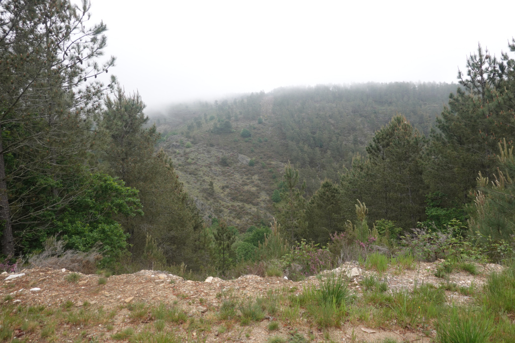
In the distance, we could see dense clouds on the mountain we were pretty sure we would be climbing later.

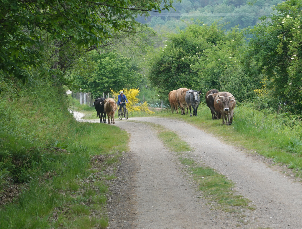
And along the path coming towards us was a small herd of cattle, being urged along by a man on a bicycle. We had to walk between them, and those horns looked sharp. Fortunately, they barely seemed to notice us as we walked through them.
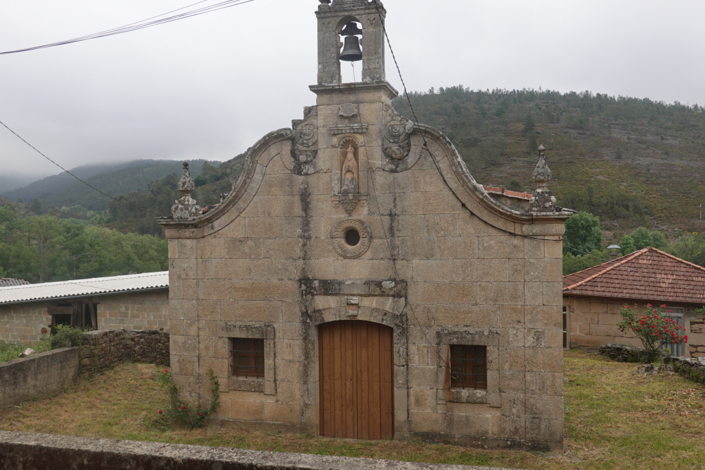
We made it to another tiny village, Tamicelas, our last flat part of the route today. There was a small, cute church there, unfortunately locked. I wanted to go inside and say a prayer for the rain to hold off until we got to Vilar de Barrio.
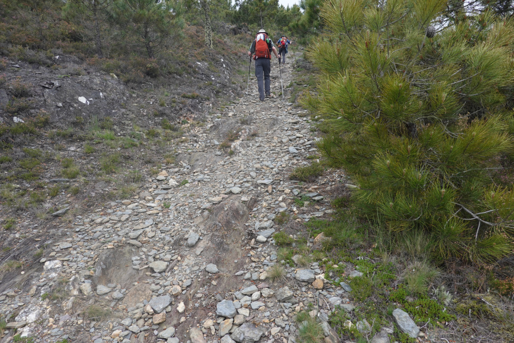
Then we started the climb to Albergueria. The ascent is documented to be 565 meters (1850 feet). And it was very steep.

And the steep climb continued. The rocks were unstable and slippery – we were very careful at every step.
Farther up the mountain, the path thankfully changed from the unstable rocks to a more natural path. Still uphill and sometimes very steep, but with better footing.
Ron got a photo of me in my “walking pilgrim” stance looking very serious. The climb was difficult, and the day gray with threatening rain, but this is a beautiful place, and our mood remained light.

Through the trees we could see where we were headed – still much farther uphill to go and covered in clouds or possibly rain.
We finally got to the top and the town of Albergueria. There is a bar there where they have pilgrims sign a shell and put it on the walk. The notes in a guidebook indicated that that bar was closed on Mondays, so we were hoping it was wrong and that the bar would be open. The whole town was quiet and almost seemed deserted, including the bar in question. We stopped, ate our snacks, drank some water, and as we were about to leave, the rain started. So on went our rain jackets, our pack covers, and we headed off, hoping the rain would lessen as we descended. Fortunately for us, the worst of the rain lasted only about 20-30 minutes, then lessened. Also, fortunately, the dirt road on which we were walking had flat granite slabs to give the farm vehicles traction, so we were able to walk on those granite slabs – often in shallow water, but not deep mud.
I had put my camera in my backpack, now with the backpack cover, so I was only able to get a few photos with my phone. Here is one where we are walking on a not-very muddy grass path as we made our way across the top of this mountain getting mentally prepared for a steep descent.
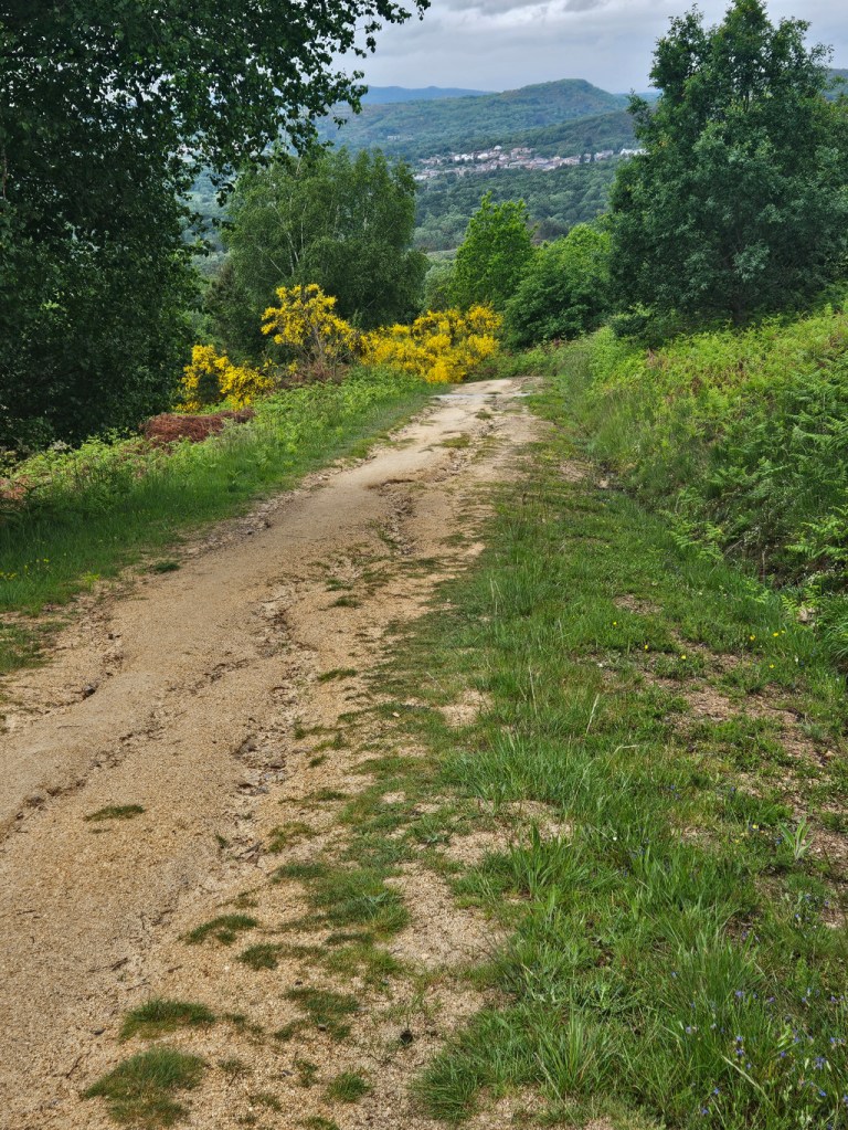
The descent was steep, rocky, unstable, and being wet from the rain, slippery at times. So I focused on my footing and not slipping. I did stop and get a photo when I could see what appeared to be our destination of Vilar de Barrio in the distance.
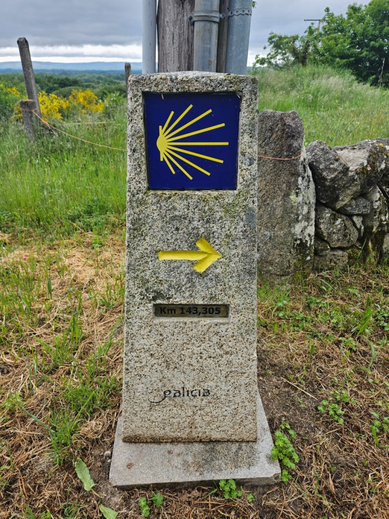
Still a few kilometers to go. Once we got to the bottom of the descent, we were back on a paved road, and very soon, we arrived at Vilar de Barrio. According to the Camino waymarker, 143 kilometers to go to Santiago de Compostela.

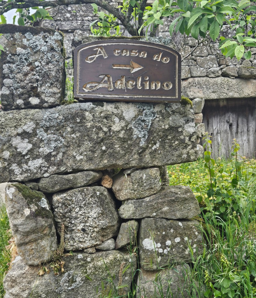
Just ahead as we were entering the actual town, we saw the sign to the house called A Case do Adelino, a pension, where we will stay for the night.
We made it – uphill, through the rain, downhill, all through beautiful vistas. The prediction is for rain and cool temperatures for the next two days at least. I am hoping the rain is intermittent or less.
Next: Vila de Barrio to Xunqueira de Ambia, 15 kilometers
