Friday, April 28, 2023
Walking from Aldeanueva del Camino to Calzada de Béjar
21.95 kilometers
After the long 31-kilometer day yesterday in the heat, we planned a shorter day today. While shorter, there were two very long and steep hills to climb, making the day not as much of a rest after the long day yesterday as we had hoped. We are closing on three full weeks on the Via de la Plata, and feeling stronger every day. Of course, at the end of a day’s walking, we are tired and do not feel strong right then, and we are trying to be sensible about the long distances. My right foot is improving, and I have been completely pain-free for four days now (yay!).
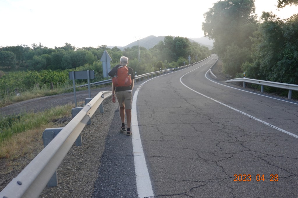
We started the day just before 8 AM and it was already close to 20 C (68 F), so no jackets, and no need for multiple layers. Leaving Aldeanueva del Camino involved a short distance walking on the main road, which we avoided, and soon got to a roundabout where the Camino path diverted off the road for a short distance of walking on a dirt road.

Then it was back on the road walking again with occasional traffic close by. There is not much of a shoulder here, and nowhere to walk off the road on the other side of the guardrails.
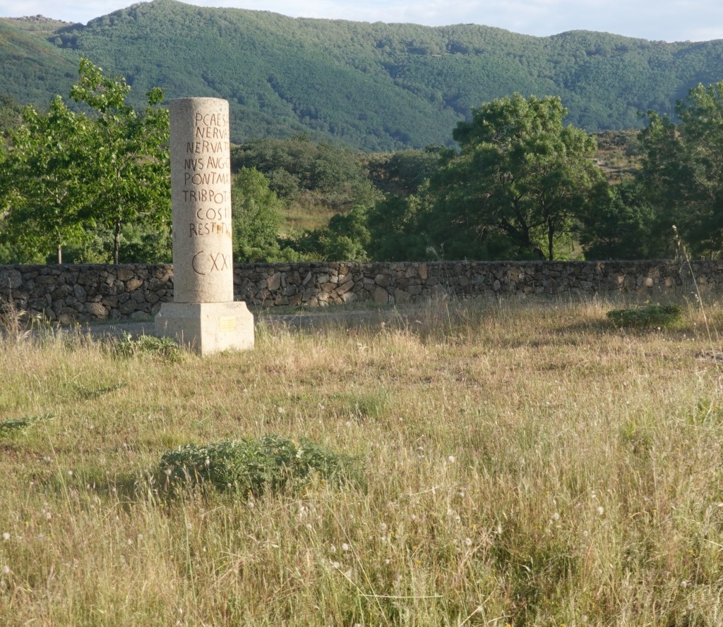
We saw what appeared to be a replica of an old Roman way marker. This looks far too new to be 2000 years old.
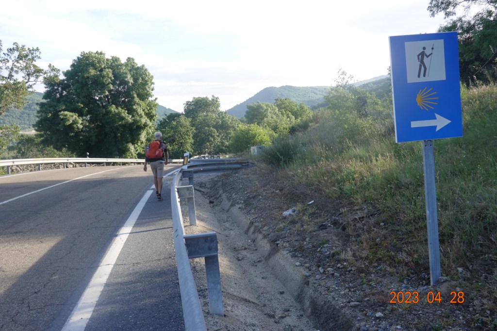
Finally, after a few kilometers of walking on the road, the Camino path leads us back off the road.
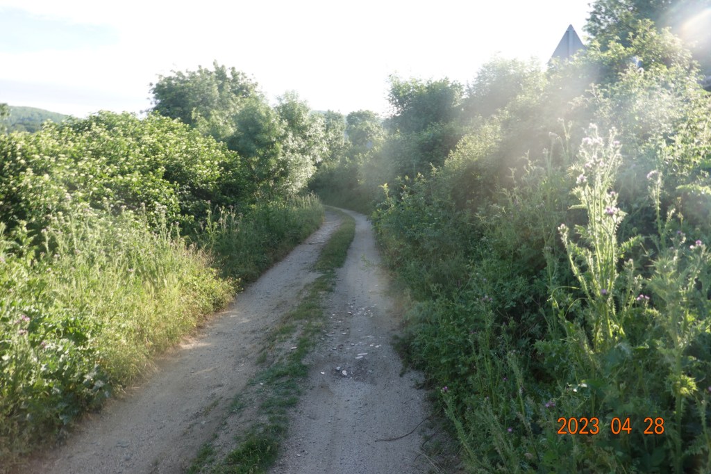
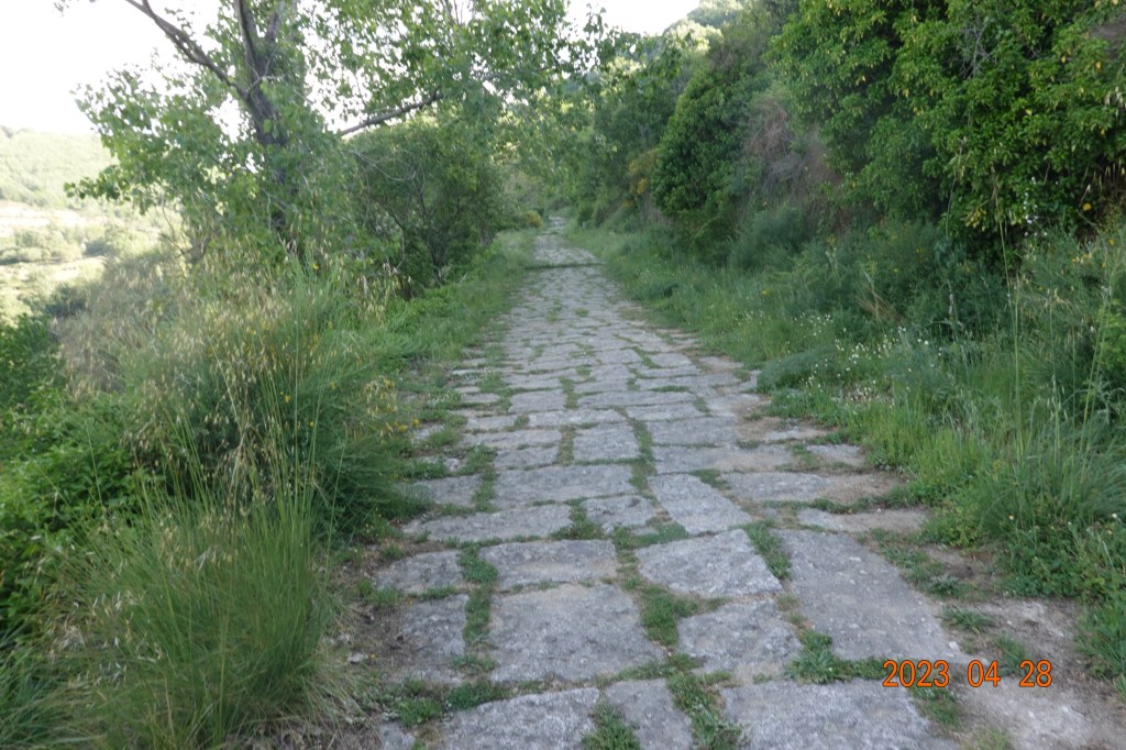
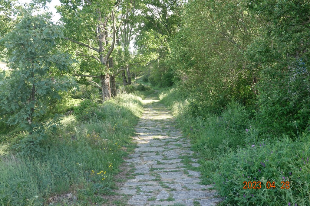
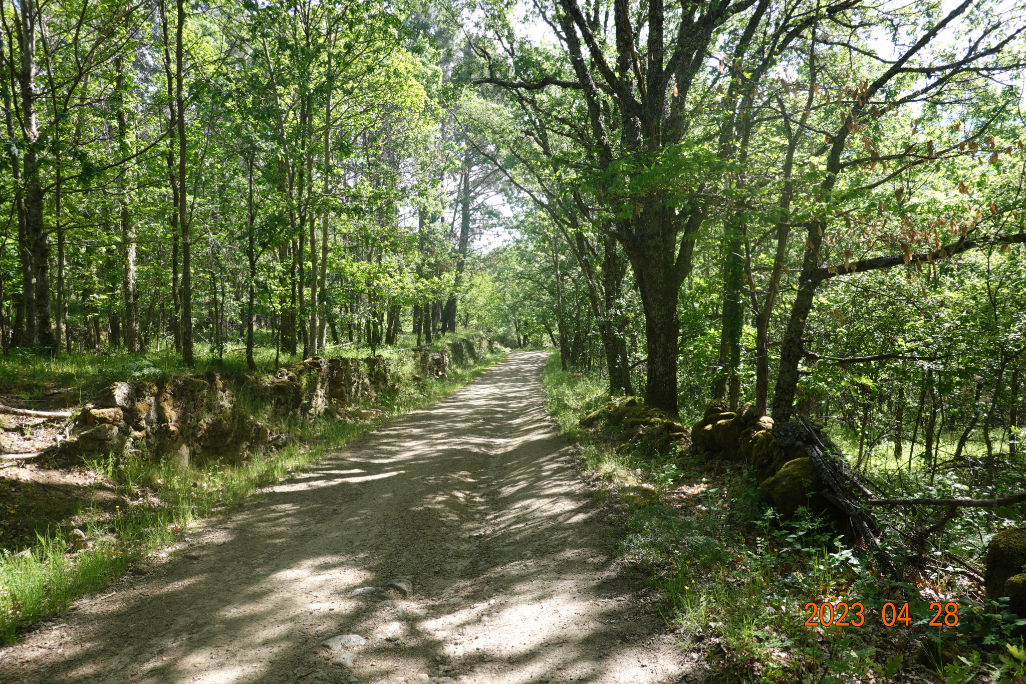
And we are back on a dirt road or a natural path in a green and natural setting.
We walked through the village of Baños de Montemayer, came to its end (as can be seen from the sign on the left), and started up the long hill on the Roman road.

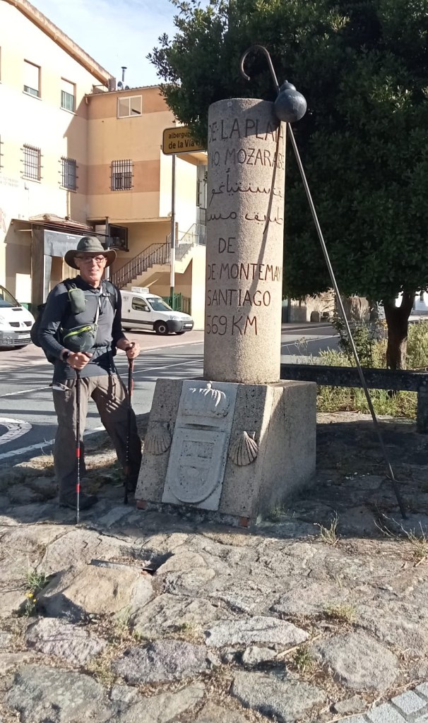
Just before we left the village, Tom took a photo of me at another replica of a Roman way marker about to start the long climb up the hill on the Roman road.
Looking up the hill, the Roman road goes up, up, up.
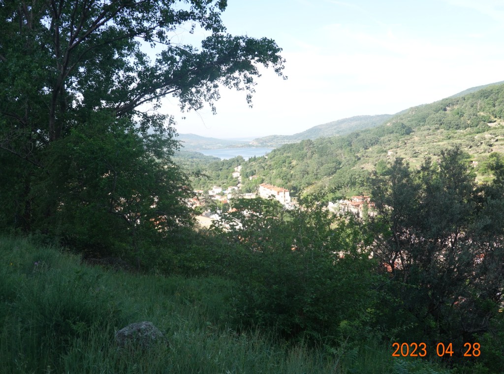
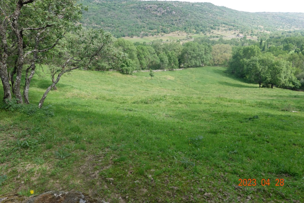
Halfway up the hill, the view of the lake in the distance was incredible.
Another replica of a Roman way marker, and a place to stop for a second breakfast and water.
And the Roman road continues up, up, and up.
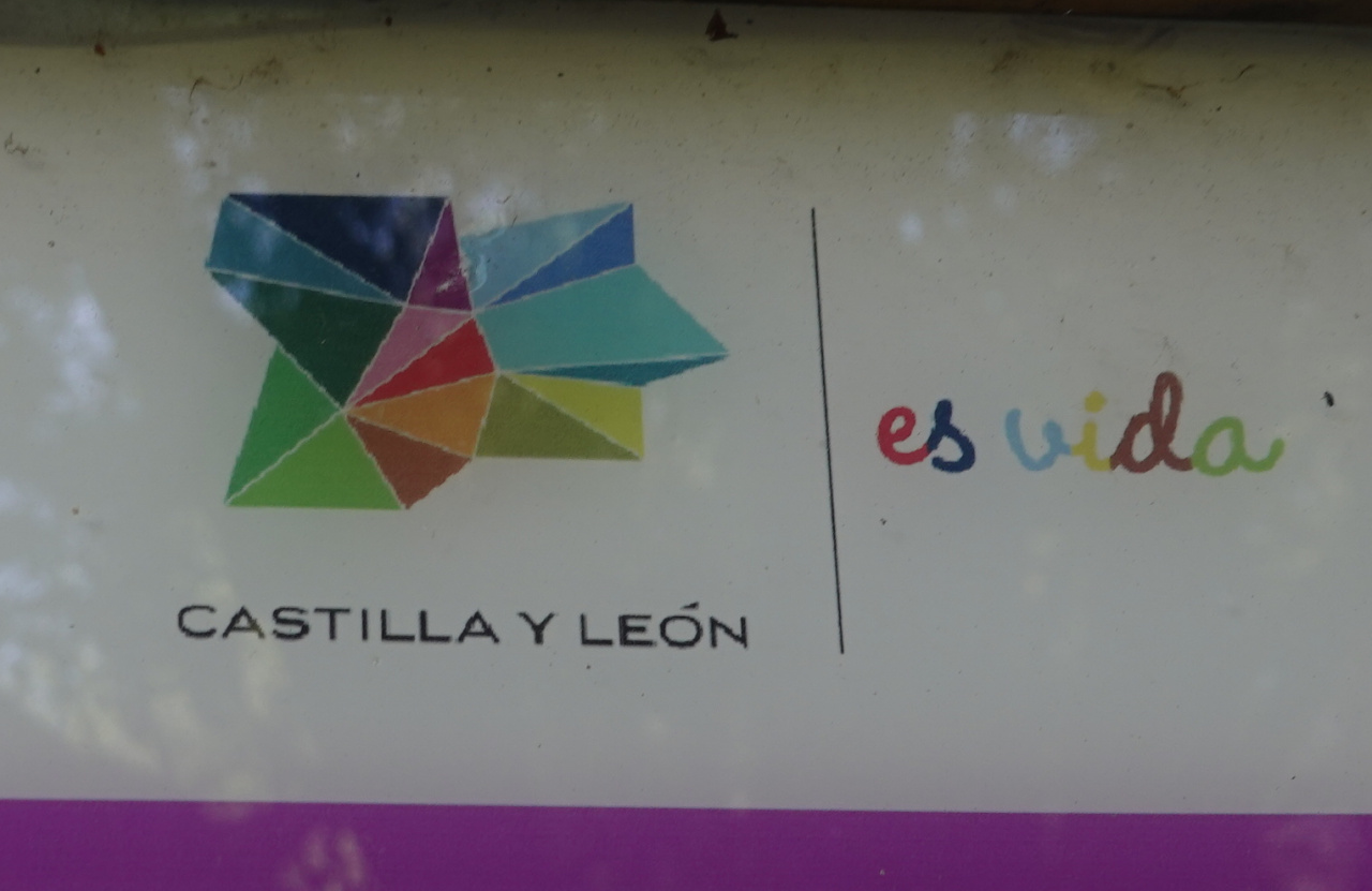
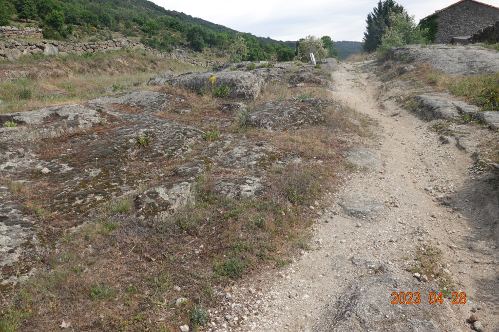
After getting to the top of the hill and heading downwards, the Camino path crossed the road and back in natural setting, we came upon a couple of information signs. Sometime during the morning, we have left the autonomous community of Extremadura and are now in Castilla y León as can be seen from the corners of the signs.

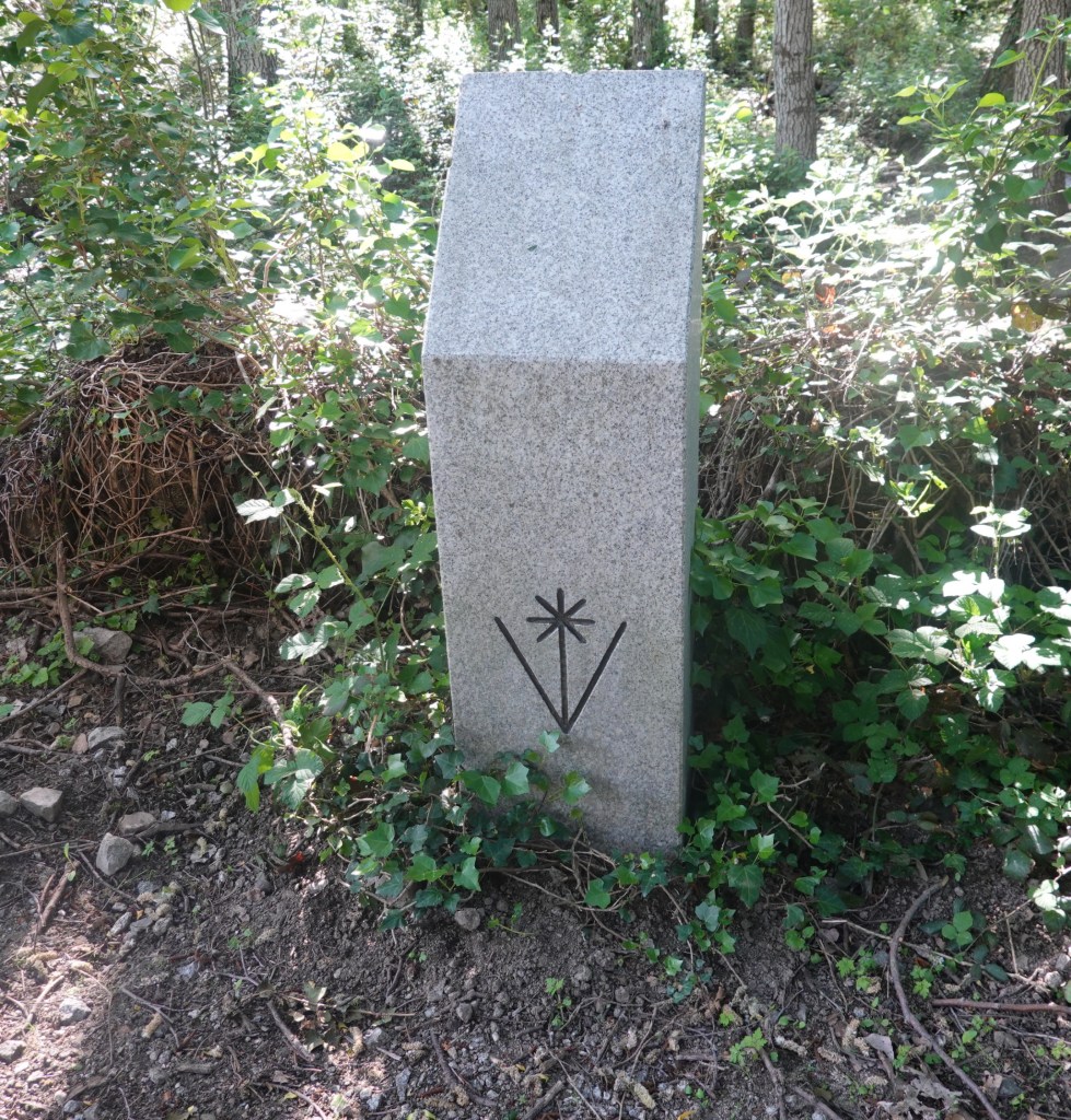
Then we saw another way marker, one of a style we have not seen before.
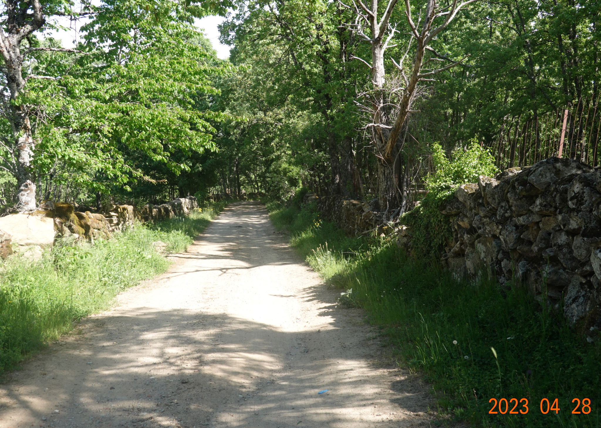
For a good while, we were on natural paths. This is so much preferable to walking on the road with cars and trucks whizzing by at times.
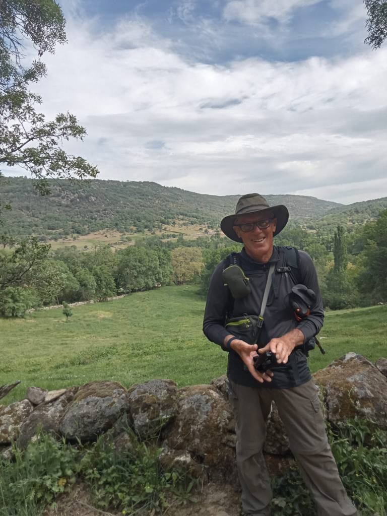
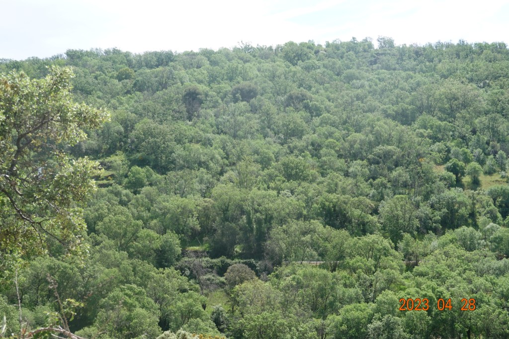
As we came up over a rise and started downhill, the view was just beautiful.
I took that picture, then Tom took a picture of me as I was putting away my camera.
After a difficult and rocky stretch of downhill, we started uphill again. Slowly at first, and at times fairly steep. It is hot, there is little shade, and we are getting tired. It seems that we should be close to Calzada de Bejér and every time we look at an online map/guide, it seems to be at least another half hour away.
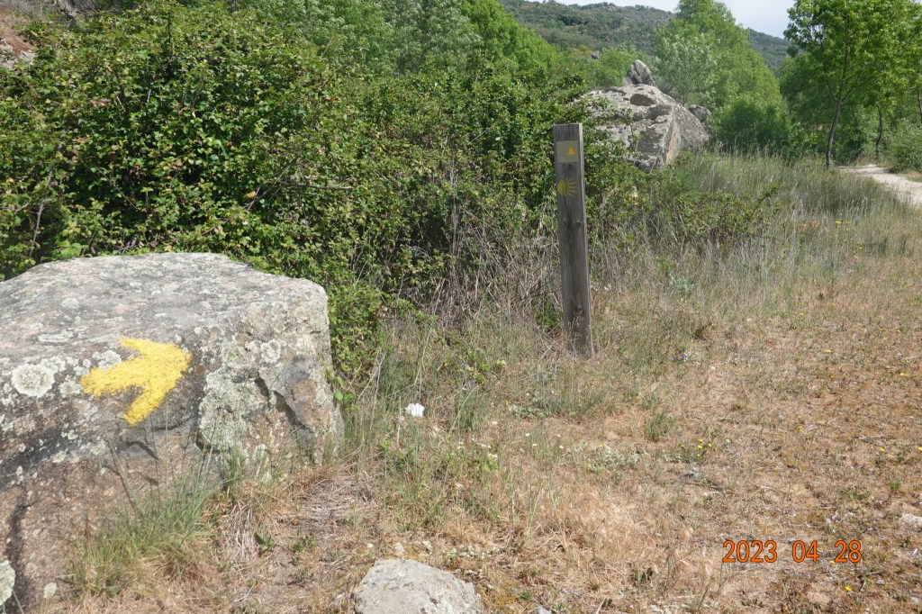
Occasionally we see yellow arrows, and this wooden post way marker of a type we have not seen, so we know we are still on the right Camino path.
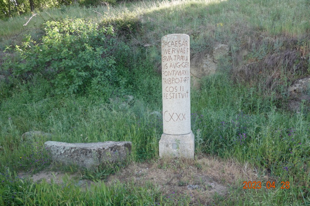
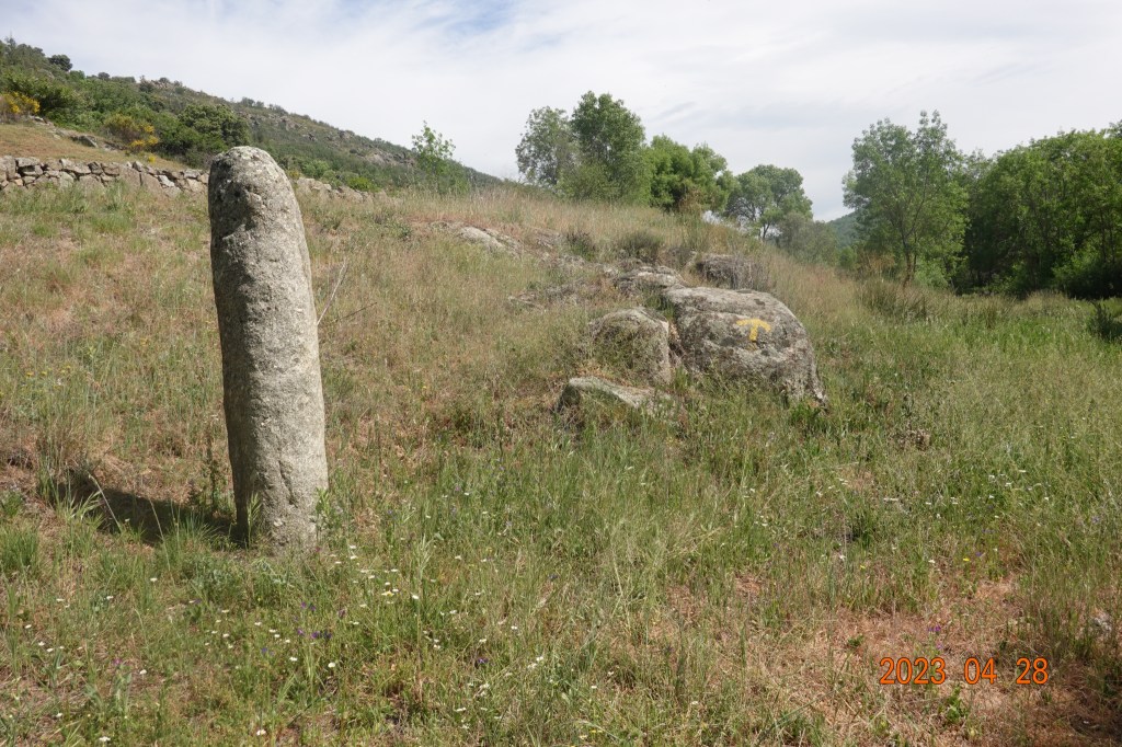
We came upon what appears to be a real Roman way marker, worn so much that the writing is no longer discernable. This really looks like it could be 2000 years old.
We finally made it up another long, steep, rocky, and very difficult climb into the village of Calzada de Bejér. The view of the mountains is nothing short of spectacular.
What was to be a short day of recovery from yesterday’s long hot day turned out to be more difficult than we had expected. We made it, we are tired and hungry, and we know what to do: shower, clean clothes, eat, and rest.
Next: Calzada de Béjar to Fuenterroble de Salvatierra

On CNN today
https://www.cnn.com/travel/article/chance-encounters-camino-de-santiago/index.html
LikeLike