Thursday, April 20, 2023
Walking from Mérida to Aljucén
16.4 kilometers
We left the dismal, uninspired albergue in Mérida at 8:00 AM, a little later than we had hoped. Finally on the road, our target was a town called El Carrascalejo. Since it was only 14 kilometers and the next town of Aljucén was only another 3 kilometers, we decided to see how we felt when we got to El Carrascalejo and if we could go another 3 kilometers, then we would head on to Aljucén. Also figuring in our plans are the facts that there is no market in El Carrascelejo, and the only restaurant is connected to the albergue in which they serve lunch and dinner. That leaves few options, even fewer than most of the small towns in which we have walked over the last 10 days. Aljucén is also small, but there is a market and a few options for meals.
Mérida is known for a number of Roman ruins. Generally, there are many along the Via de la Plata route on which we are walking, since this is on, close to, or near the old Roman road built from Astorga to Seville and down to the port at Cadiz. Tom and Leonard went off to visit some of the Roman ruins yesterday while I rested my feet. My right foot is feeling better, and I am hopeful for continued improvement if I am careful about doing too much.
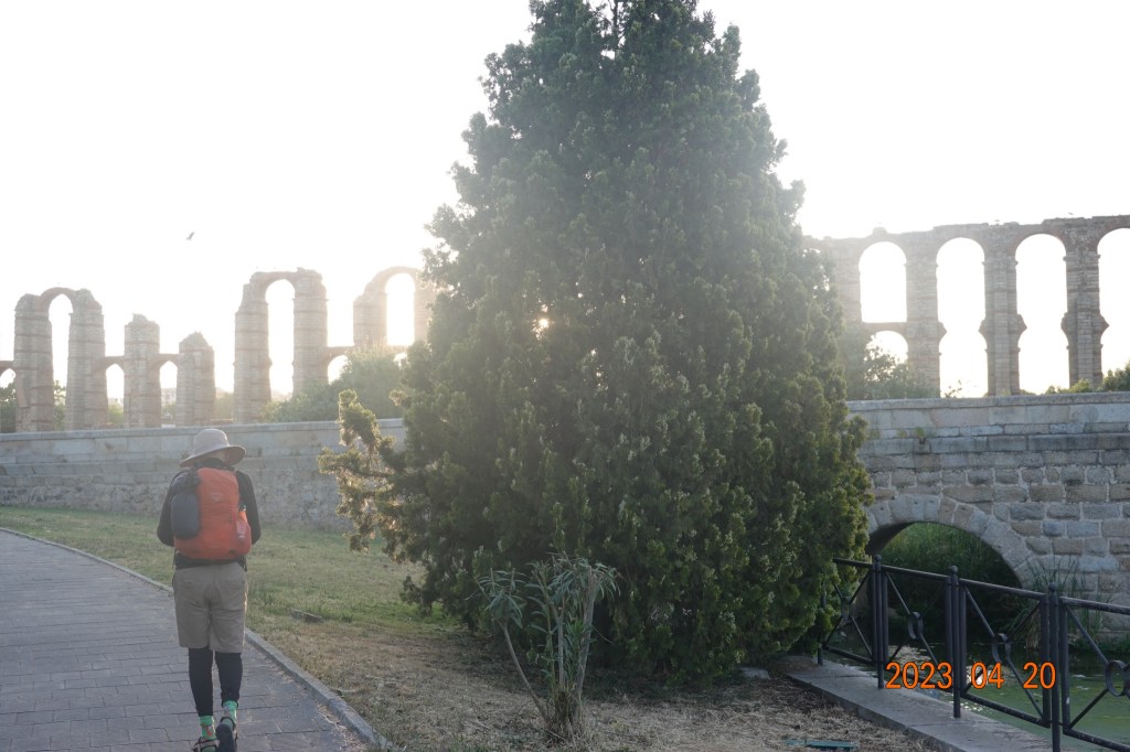
As we left Mérida, we passed quite near the large aqueduct ruins that once fed water from a large reservoir north of town to the town itself. I got a photo of Tom walking ahead of me at the site of the Roman aqueduct ruins.
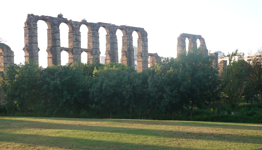
And here is another view of the aqueduct ruins we were passing
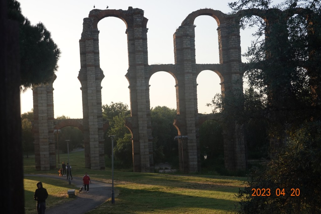
As we headed north away from the aqueduct, I got this final photo of the ruins with my highest zoom, heavily shadowed because of the bright sun rising:
Walking northward, we came upon something of a decision point. The yellow arrows seemed to point straight and right. And there was one of the cube-shaped, granite Roman road markers indicating the direction to the right. This is problematic. We followed the route to the right and after seeing no markers for close to a kilometer and a half, we decided that this was not the right route and sought help from Google Maps. We suspect that the markers for the Roman roads are there and sometimes but not always indicating the traditional Via de la Plata route. It may be that the officials of the area are trying to steer Camino de Santiago pilgrims more onto the Roman roads than the older routes. If this is true, it would help if there were a concentrated effort to obliterate the older yellow arrows and replace them with clear and frequent markers indicating the newer route.
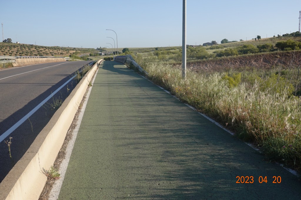
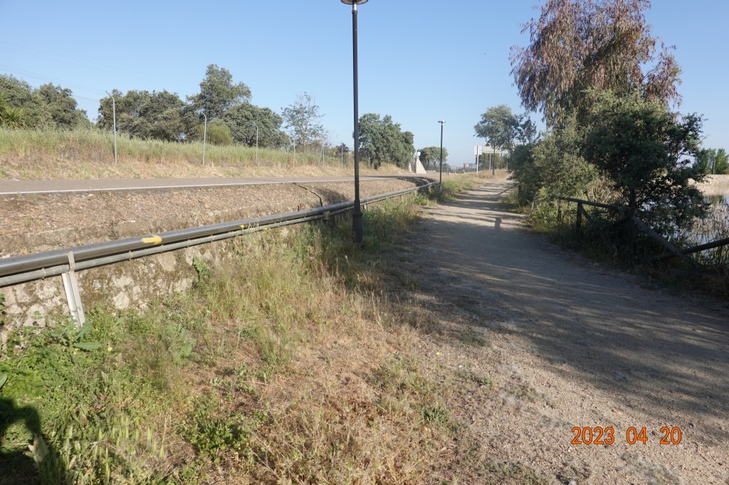
After getting back on the more traditional Via de la Plata route, we were walking along a highway road that was busy but not oppressively so and we were walking on a bike path separated from the road with a guardrail and a curb. We do not like walking along a highway or busy road, but the separation felt much safer.
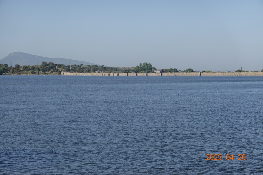
After about half an hour walking north back on the Camino path, we came to the reservoir that was built by the Romans to provide water to the city over the stone aqueducts.

And the yellow arrows directed us around the reservoir – no swimming across today. I got a photo of the correct route as indicated by the yellow arrow on the railing to the left of the photo.
After walking a good way around the reservoir, we got a better view of this very expansive reservoir and in the background, the wall built by the Romans can be seen, still holding water after about 2000 years.
As we left the reservoir area, I verified that Tom was on the correct Camino path as shown by the yellow arrow on the back of the signpost on the left.

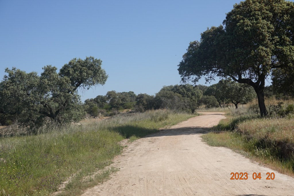
And after walking on the asphalt road for a while, the Camino route veers off back on dirt roads in cattle country.
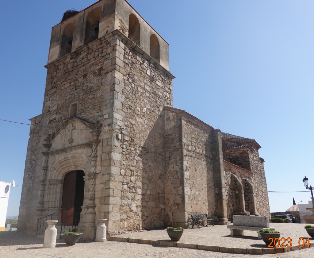
We arrived at El Carrascelejo at about 11:30, earlier than we had expected. Feeling well, we decided to head on 3 more kilometers to Aljucén where there are a few more options for food. In El Carrascelijo we saw this nicely built stone church, similar to several we have seen along the Via de la Plata over the last 10 days.
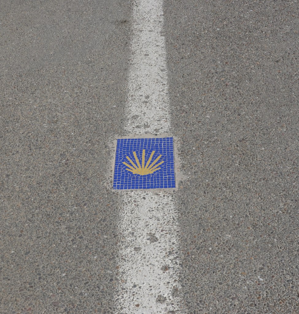
After another 45 minutes of walking, we came into the town of Aljucén. I noticed the Camino marker in the road’s center line indicating a Camino pilgrim-friendly town.
Another good day on the Via de la Plata route of the Camino de Santiago. My right foot continues to improve, and I remain optimistically hopeful.
Next: Aljucén to Alcuéscar

It looks interesting! If very rural still. Take care of the foot! Don’t do to much.
Sent from my iPad
<
div dir=”ltr”>
<
blockquote type=”cite”>
LikeLike
Beautiful photos of the aqueduct and the reservoir!
Sent from my iPad
<
div dir=”ltr”>
<
blockquote type=”cite”>
LikeLike