Wednesday, January 25, 2023
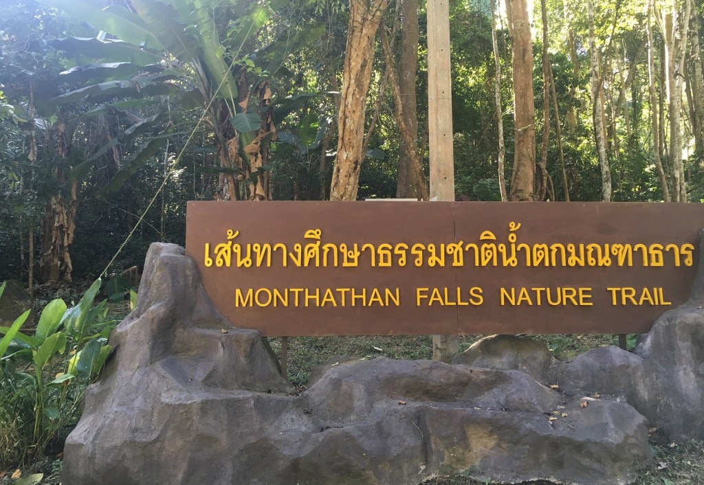
Hiking to Montha Than Waterfall
Rudy and I are both in our last week in Chiang Mai for this winter. We wanted to do one more hike up in the jungle/forest on Mount Suthep, and Rudy always wants to find a new trail to explore. Using the All Trails app, Rudy found a suitable, very challenging trail that is VERY steep for almost 1.5 kilometers with no leveling off. Almost more of a climb than a hike, but not a technical climb. This alternate trail starts at the Montha Than Waterfall visitor center, bypasses the nature trail, and instead goes up the mountain.
We met again at the Monument to the Three Kings (who founded Chiang Mai in 1296), and got a Grab ride to the entrance to the Doi Suthep National Park. This is a rather large national park, more of a preserve than a park. The driver dropped us at the road to the Montha Than Waterfall area. After proceeding up the road for about 15 minutes, I realized that I did not have my phone – it must have come out of my pocket in the car. Rudy called my number, and [fortunately] the driver answered. She did not speak much English, but she said she would keep my phone, and I conveyed that we would call again when we were back in Chiang Mai. Whew! A big relief.
At the entrance to the park, we had to pay 100 baht each (less than $3). Thais pay only 20 baht, but Thais also pay taxes and this is a nationally-funded park. It was close to a kilometer all uphill before we got to the visitor center.
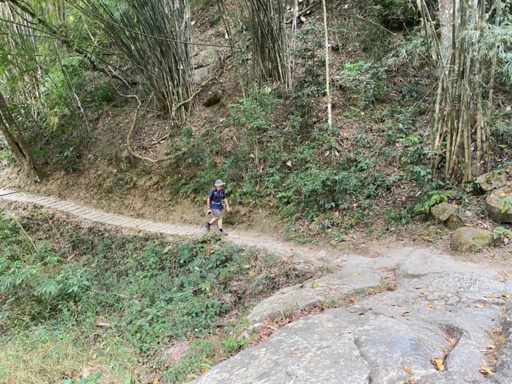
At the visitor center, we were told that the trail up which we had hoped to hike was closed due to its having become dangerous after erosion and/or washouts from the heavy rainy season. So we were left to hike the “nature trail.” It turns out this is not an easy trail at all. Not extremely difficult, but also not easy in any sense of the word. The visitor center and start of the nature trail was at a waterfall itself. Here is a shot Rudy made of my walking up the road to the starting waterfall:
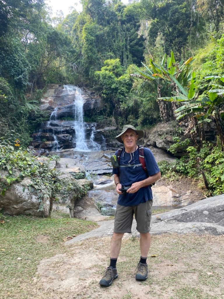
And here I am at the starting waterfall itself in my not-very-fashionable look:
We proceeded up the nature trail, as expected, uphill and peaceful in the jungle.

We walked by an almost dry creek, a secondary creek to that fed directly by the Mantha Than Fall.

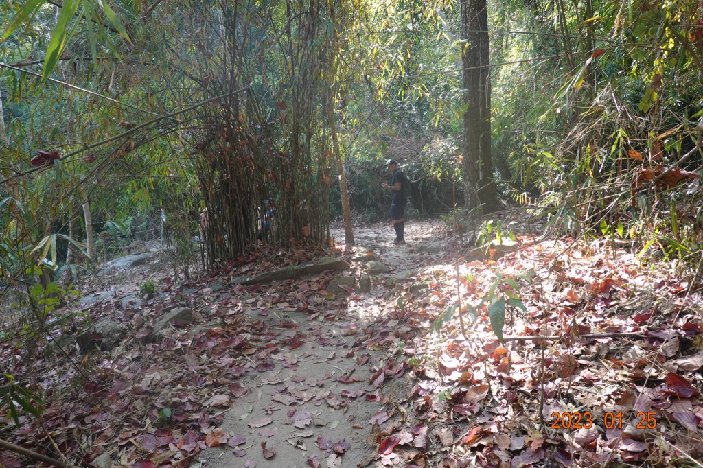
And very soon we heard and then saw it – the Mantha Than Waterfall:

The trail continues across the creek. The only way across was to a series of rocks, narrower than what is seen in the picture, and a bit precarious. We made it without a problem. On the other side, the trail continues up steeply and eventually we were crossing the creek above the waterfall, on a bridge. And the trail continues into the jungle, up and down.
It is peaceful and quiet in the jungle. A good well-defined trail, and impossible to get lost. Here is another part of the trail with Rudy ahead of me.

We completed the nature trail at Mantha Than Fall, walked down to the main road to Wat Phra That Doi Suthep, and we decided (since we were fairly close) to hike down the same trail as last week to meet up with the well-known Monk’s Trail below Wat Phalad.
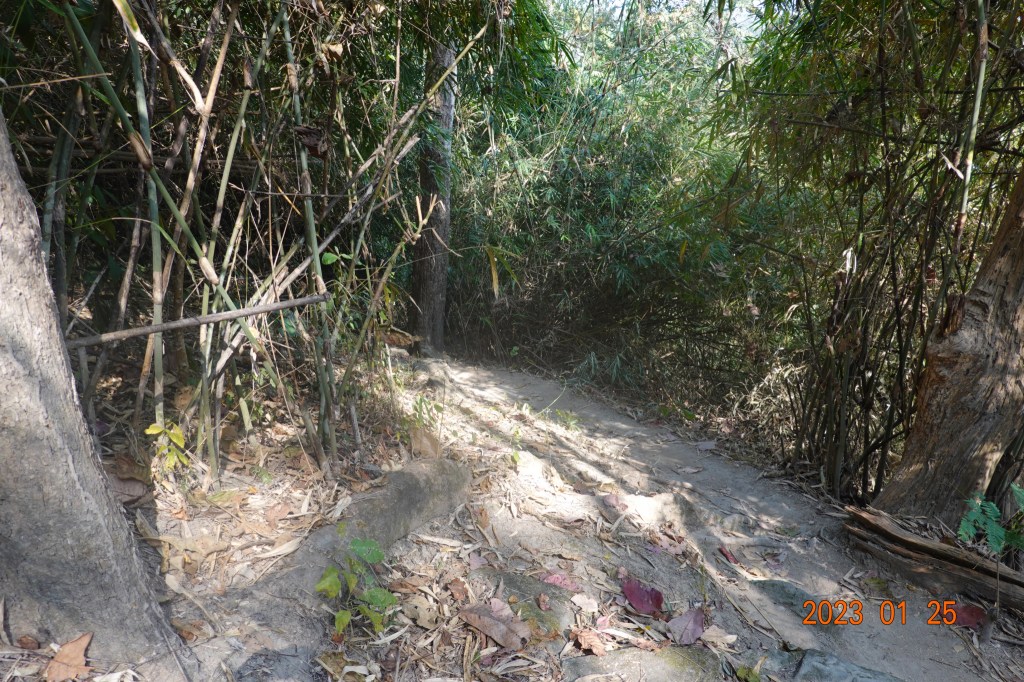
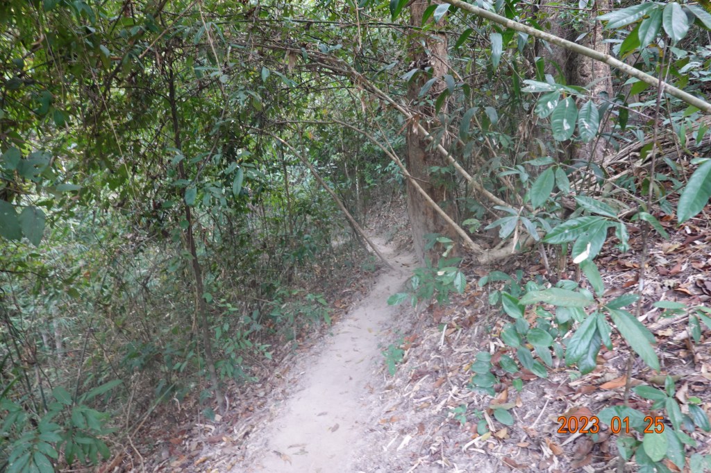
We found where this alternate trail leaves the main road, and soon we were in the place where the trail was sometimes well-defined, and sometimes not.
And then we had a short stretch of a well-defined trail:
And then a not at all well-defined section – where is the trail?

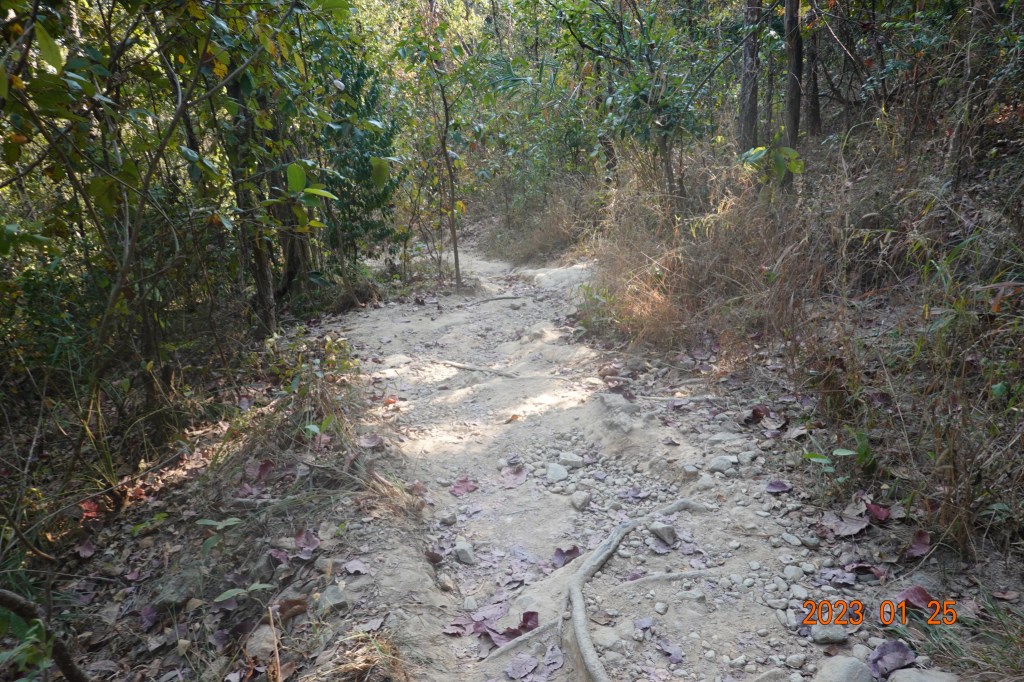
Then a section of better-defined trail:

And then a section of poorly defined trail, it is somewhere in the trees (actually easier to see on the photograph than in person):

Soon we were back on a well-defined part of the trail, getting closer to the Monk’s Trail.

Very soon, we were back with our friend, the Monk’s Trail:
The hike down the last kilometer of the Monk’s Trail went without incident, then we walked to the outdoor and hiking shop at the end of Suthep Road called Basecamp. Rudy is always on the lookout for multi-purpose shoes he can use to play golf and also use for other things. We got a Grab ride back into the old city to See You Soon (my accomodation).
Once at See You Soon, I asked Prang, the assistant manager, to help us and explained the problem with the phone. I thought it would be better to have a native Thai speaker talk to the Grab driver. Rudy called my phone, the lady answered, and we gave the phone to Prang. A conversation ensued, and when complete, Prang told me that the lady would bring the phone to me at See You Soon in about 20 minutes. I hurried upstairs, got a shower, changed clothes, and came back downstairs to wait. And the lady came fairly quickly. I tried and tried to reimburse her for her coming into town, but she refused. Prang gave me a little wave, essentially signaling me to back off, that the lady was not going to accept. So she said goodbye, and I almost immediately went into the Grab app on my phone and gave her an excellent review, particularly citing above average, excellent service.
Next: Three Temple Sunday (out of order)
