Wednesday, January 18, 2023
A different route up Doi Suthep
My friend Rudy, whom I met at Wild Rose Yoga last year, and with whom I have hiked up the Doi Suthep mountain a few times, wanted to try a different route up and down the mountain. A note here – Doi in Thai means “mountain” and Suthep is the name of the mountain. So “Doi Suthep” translates to “Mount Suthep” and my saying “Doi Suthep mountain” is redundant. Rudy found an app called “All Trails” which has details of many hiking trails in the area. And, the app will tell you whether or not you are on the selected path in real-time using the GPS on your phone.
We met again at The Monument to the Three Kings, which is close to mid-way between the places we stay. We got a Grab ride to the end of Suthep Road, past Chiang Mai University. If we were going to hike the Monk’s Trail to Wat Phalad and then up to Wat Phra That Doi Suthep, we would turn right where Suthep Road ends. For this route, we are going to the left, up the road for about a kilometer, then into the forest/jungle.
We made it to the turn-off into the jungle onto a fairly well-defined trail. But soon, we were in a jungle where the trail was not well-defined, likely for two reasons, (1) not many people hike this particular trail, and (2) the heavy rainy season has encouraged the underbrush to grow and hide the trail.
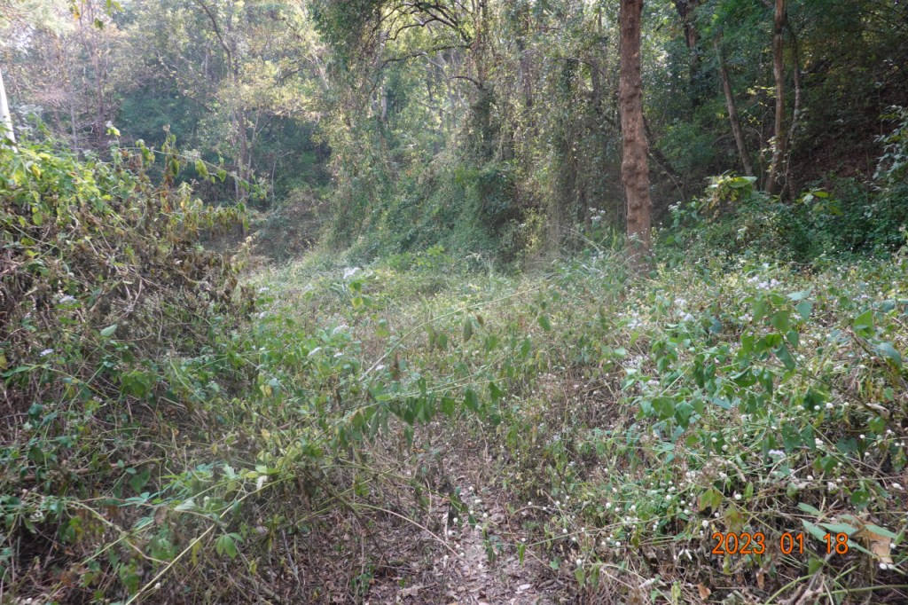
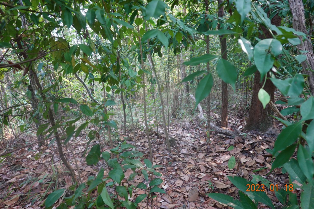
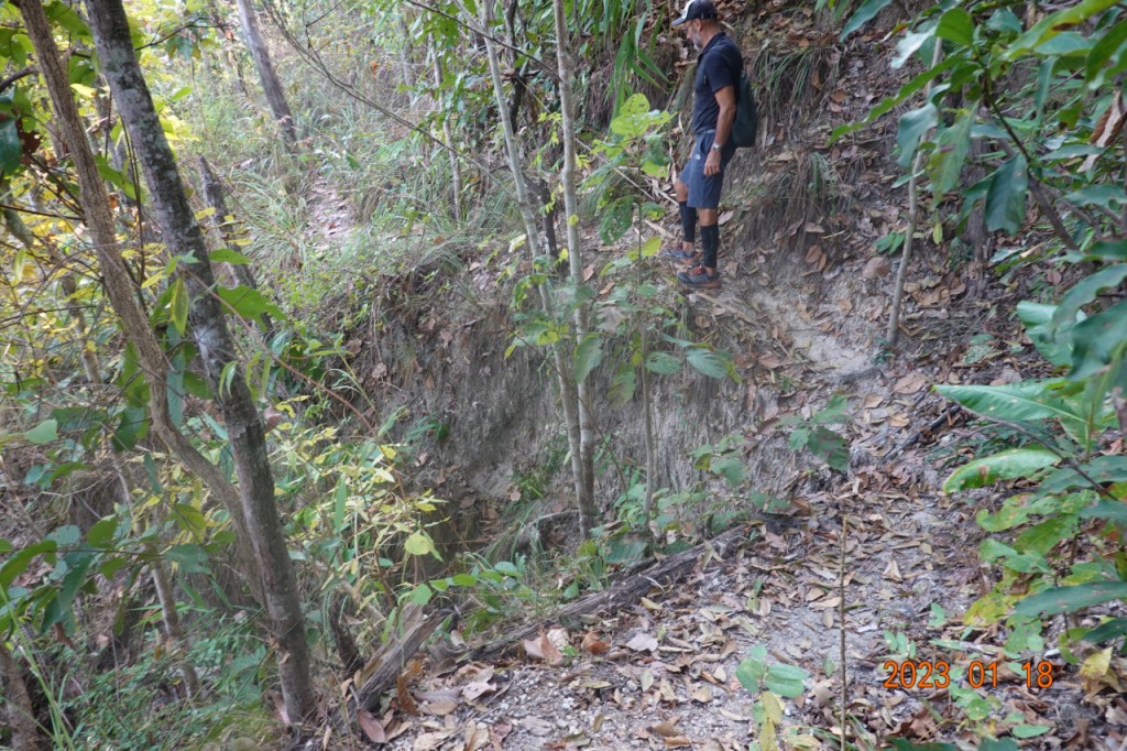
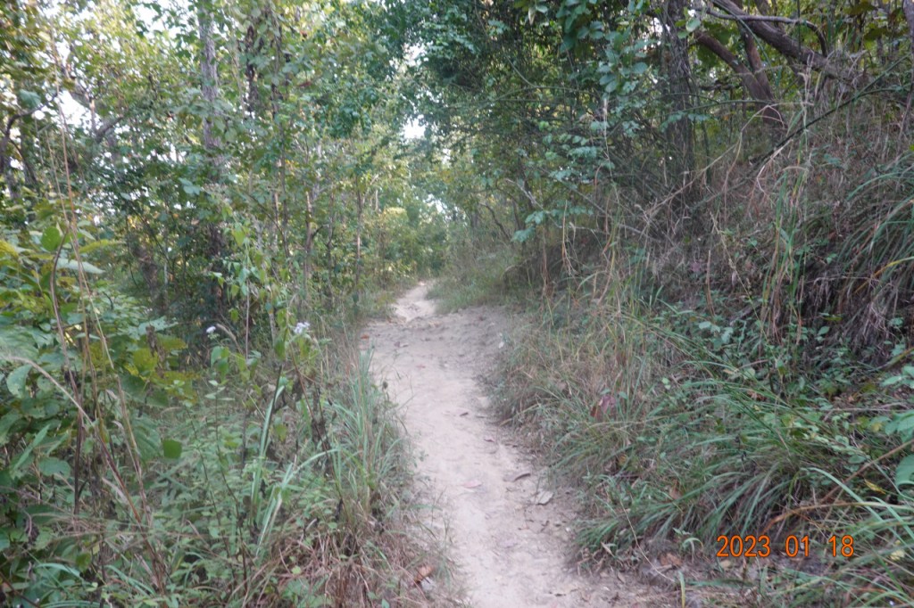
We continued on, using Rudy’s app to make sure we were on the trail as defined by All Trails. The going was a little precarious, as we questioned whether we really were on the trail. You can almost see where the trail goes in this photo.

We continued on. More of the trail was over grown, and the app told us we were on the right path.
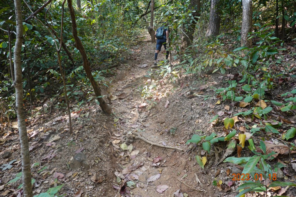
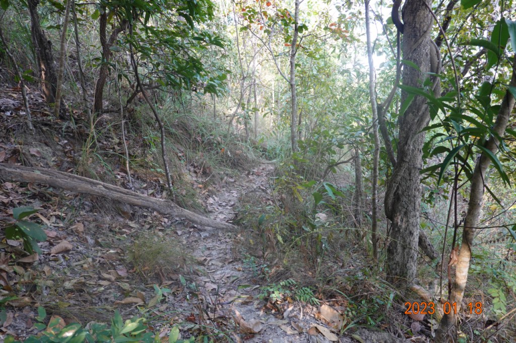
As the trail started climbing, it became more well-defined. And it was steep. Our pace slowed a bit as we knew this would be a long uphill stretch, more than half a kilometer.
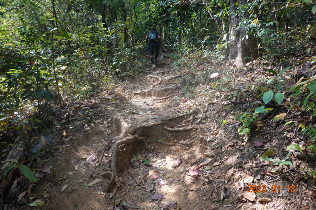
And the trail continued uphill. Even though it was not oppressively hot, I was sweating, and we stopped a couple of times to rehydrate. It is quiet in the jungle, very peaceful.
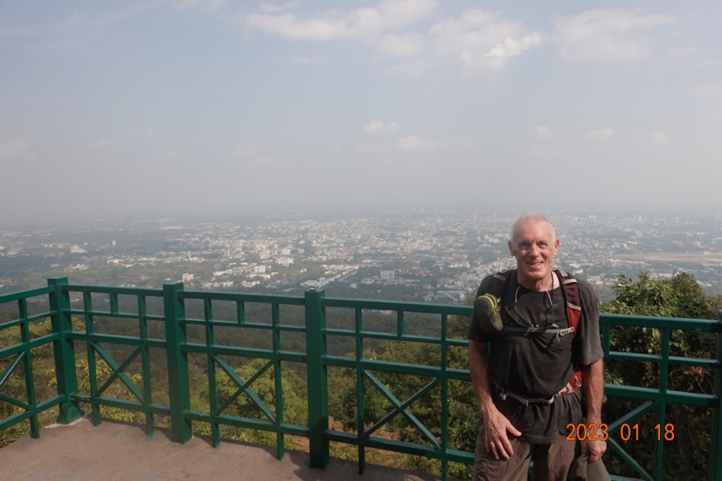
Finally, we arrived at the main road to the top of the mountain. There is a stopping point here with an overlook, so we stopped to rest for a few minutes after that difficult climb up the mountain.
The next kilometer or so was down hill on the main road. We walked on the right side so we were facing oncoming traffic (remember, in Thailand, like India, Paistan, and Australia, the vehicles drive on the left side of the road). Another reason for this is that there are two lanes going uphill, and with sparse traffic, there was always room for vehicles to pass us without coming close. Even though there was adequate room and few vehicles, we walked single-file right on the edge of the road.
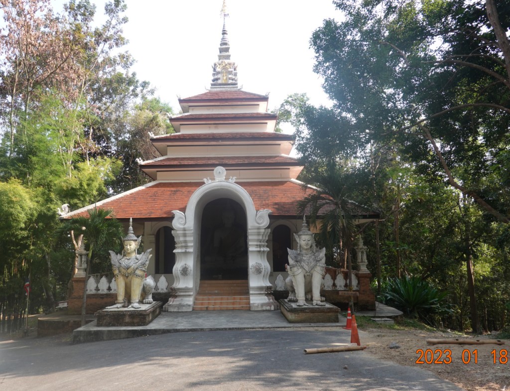
After a bit, we arrived at the entrance to Wat Phalad on the main road. There are a couple of buildings here, then to get to the actual temple, there is a road down the hill about 200-250 meters to the entrance to the actual temple grounds. With these buildings, it is more of a surprise that so few tourists stop at Wat Phalad. If there were no sign of the temple from the road, I would understand, but there is clear evidence of a temple here.
From here, we could have walked down the road into the temple grounds and hiked down the Monk’s Trail as we have many times. And this is what the circular route we were on would have had us do. Rudy found a different route down from All Trails app, so we continued further down the road to where this trail branched off from the road.
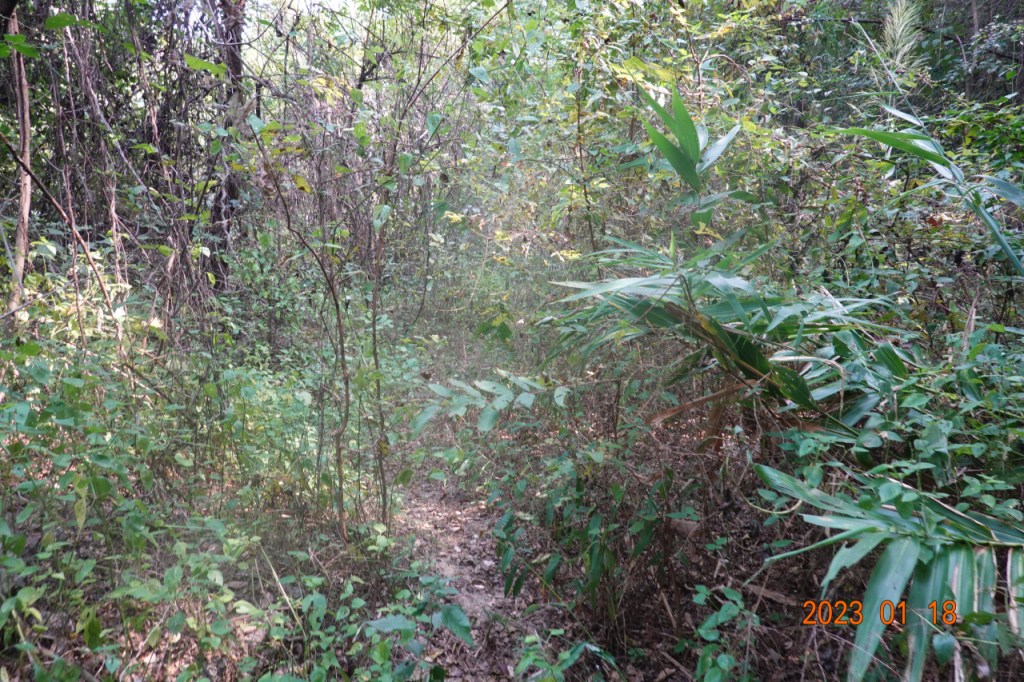
And almost immediately, we were in a jungle/forest with little sign of a trail. The app kept us on track.

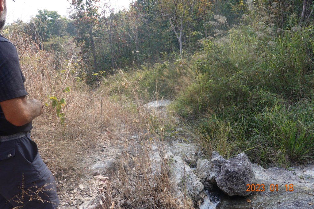
There were a few places where the trail was a little more obvious, so we kept going. And in this picture, the trail is almost visible.
Further down, the trail became more well-defined as we thought we were approaching a creek we would have to cross.
But the trail continued on, no creek in sight or that we could hear yet. At times we were navigating around a small ravine on what was almost a cliff.
Then as we were getting closer to the creek, there was a clearing with long grasses and very slippery rocks even while dry.
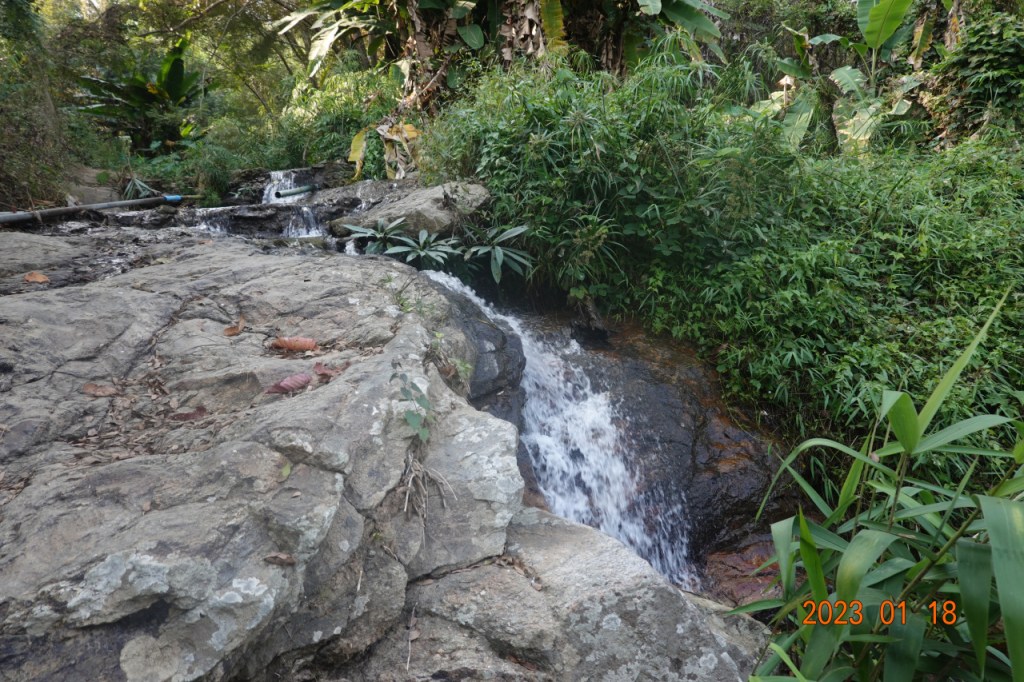
We had to jump over part of the creek, a somewhat precarious task since the dry AND wet rocks were very slippery. Here is a view looking back at the creek we crossed before it became a waterfall.
Within a couple hundred meters of a well-defined trail, we met up with the Monk’s Trail. This view is looking back at the junction. We came up to the Monk’s Trail from the branch to the right of this picture.
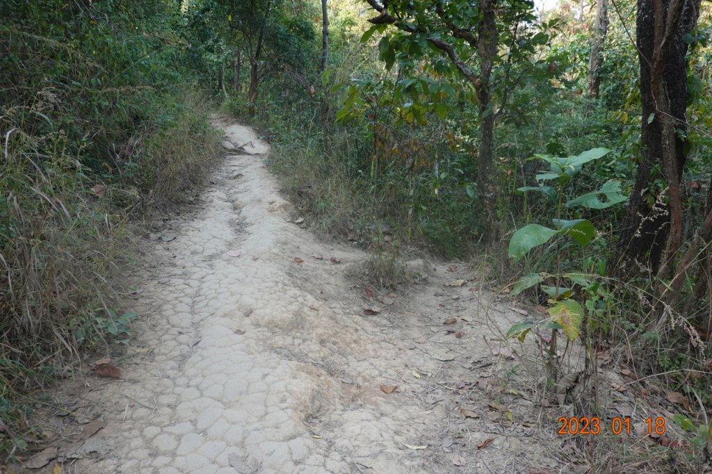
From here we continued down the Monk’s Trail. We had come down much of the way, so there was only about 500 meters left of the trail. This is a familiar trail. I have probably hiked on this trail more than 30 times over the past 10 years. This was a welcome broad and well-defined trail.
We arrived at the trailhead, and walked down the road to where we started. Rudy had some things to do this evening, and walking back into the old city would take another hour, so after passing Chiang Mai University, we caught a Song Taew (Red Truck), a shared-ride service, to take us into the old city near the Monument to the Three Kings.
A very good day hiking in the less well-defined trails on Doi Suthep. Difficult at times, very sweaty, but being in the jungle is peaceful and the long hike felt very good. Overall we hiked over 12 kilometers.
Next: Lunch at Butter is Better
