09 October 2017
Walking Day 26:
30 kilometers
(many, many steep uphill steps)
Today we left Villafranca del Bierzo and walked by a river along what used to be a main road, now replaced by a freeway higher up in the hills surrounding the valley. It was chilly in the river valley all morning, starting at about 8 C (42 F) with a bit of a wind blowing. A good morning to keep the layers on. We passed through several small towns, and after about 22 kilometers at the end of the small town of Herrerías, started the 8 kilometer (5-mile) climb to O’Cebreiro, a little village with a quaint church that has been serving pilgrims for hundreds of years. The path up the hill is steep and very rocky. For more than the first half of the climb, we are in a forest and the shade is welcome, as the temperature has climbed to over 27 C (80 F).
Halfway up the hill, we stopped for lunch at a vegetarian restaurant in a little town of La Faba. This restaurant had been recommended to us by two German ladies in Herrerías who run what they call a cultural center and organic farm. When we got to La Faba, we could see several pilgrims we knew at the restaurant – knowledge of good eating places travels fast on the Camino. And the food did not disappoint – it was very good.
The 8 kilometer climb to O’Cebreiro was steep and rocky, and to use a phrase I have used previously on the Camino, unrelentingly difficult. The going was slow. I do have pictures, but there is no internet at the top of this mountain, so I shall upload yesterday’s, today’s, and tomorrow’s pictures tomorrow when I get into Triacastela.
I was able to complete the previous day’s picture uploads, and much of this day’s, but apparently too many people are using the Internet and the last few picture uploads failed. I’ll post what I can and complete it tomorrow.


We left Villafranca del Bierzo at about 8:15, just after sunrise. We had no trouble finding the Camino path with the way markers so obvious.
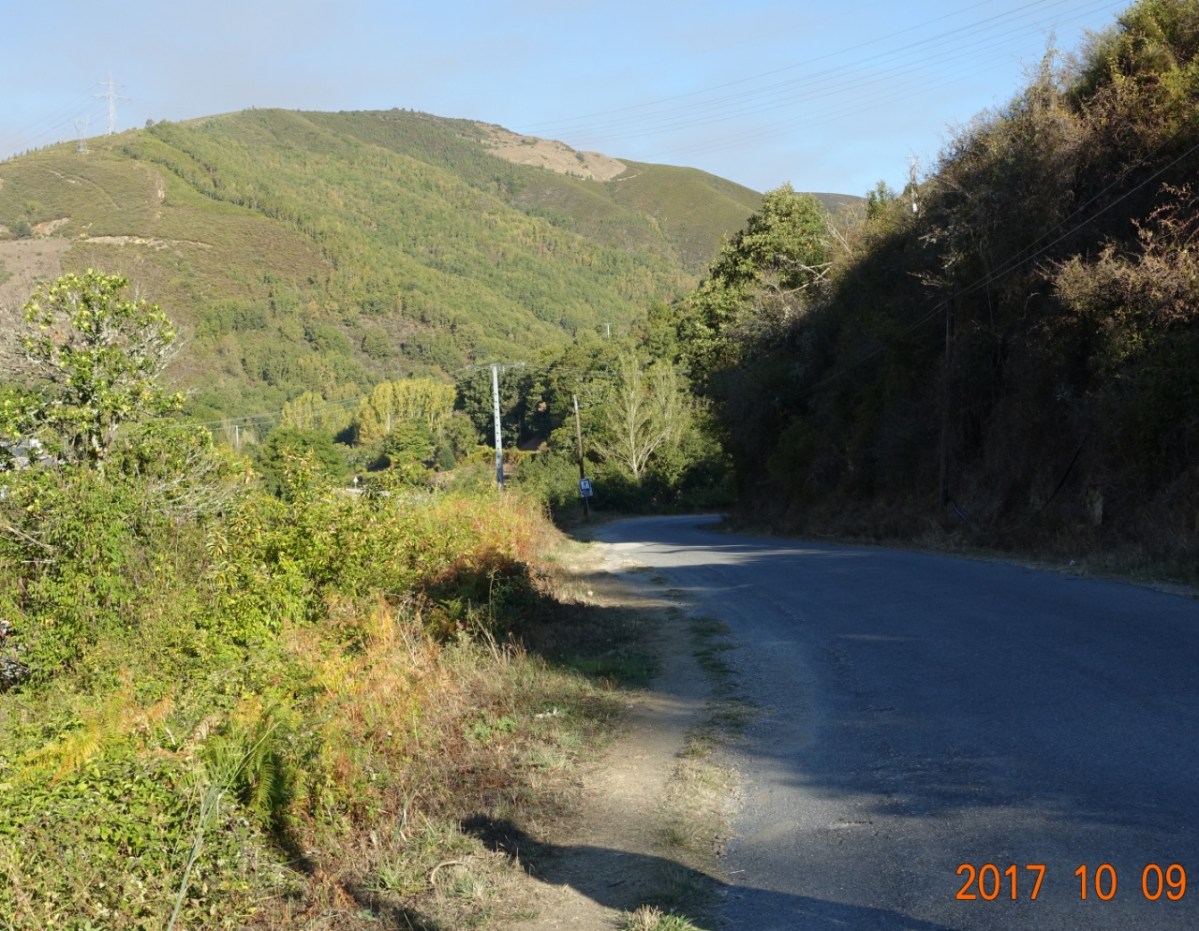
 Soon we were in the river valley, with a very cool wind blowing. We were walking faster than normal to try to keep warm. We walked along a river and a road that used to be a main highway. The main is now raised and can be seen ahead and above us in this picture. The river, far below to our left, can be heard off and on all morning.
Here is a picture between the bushes and trees of what little I could see of the river:
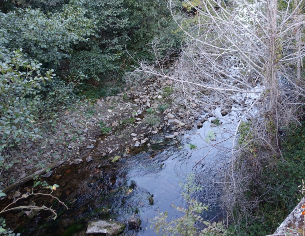
The river is far below us, probably 15-20 or more meters (50-65 feet).


Two pictures of the walk in the river valley. On the left is the walk in the river valley along the former highway. because we are on essentially an asphalt sidewalk, the going is good in that it is smooth. On the right is a deviation the Camino path takes off what used to be the highway to go through a small town.
Walking into the small town, there is evidence of recent logging and freshly cut trees…smells good.


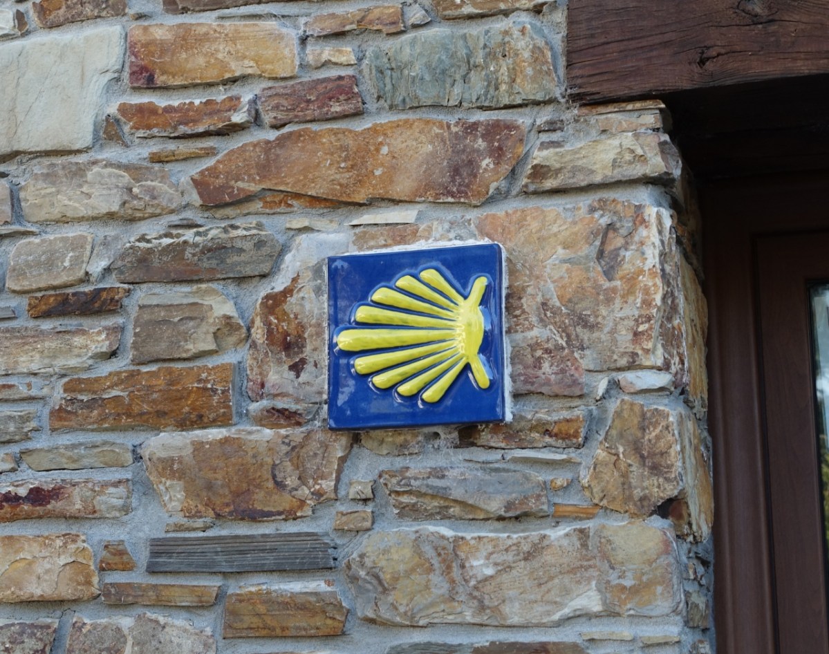
We stopped for a zumo de naranja natural (freshly squeezed orange juice) and I saw this way marker, bright and new looking on the side of the cafe building.
Then we continued along the river valley, along the former highway. The fall colors are all around us, but the pictures seem to show mostly green.
Passing through a little town of Vega de Valcarce, I saw this little church.
I wanted to see inside, but it was closed. Stones and rocks are used for buildings a LOT here. (And more to come.)
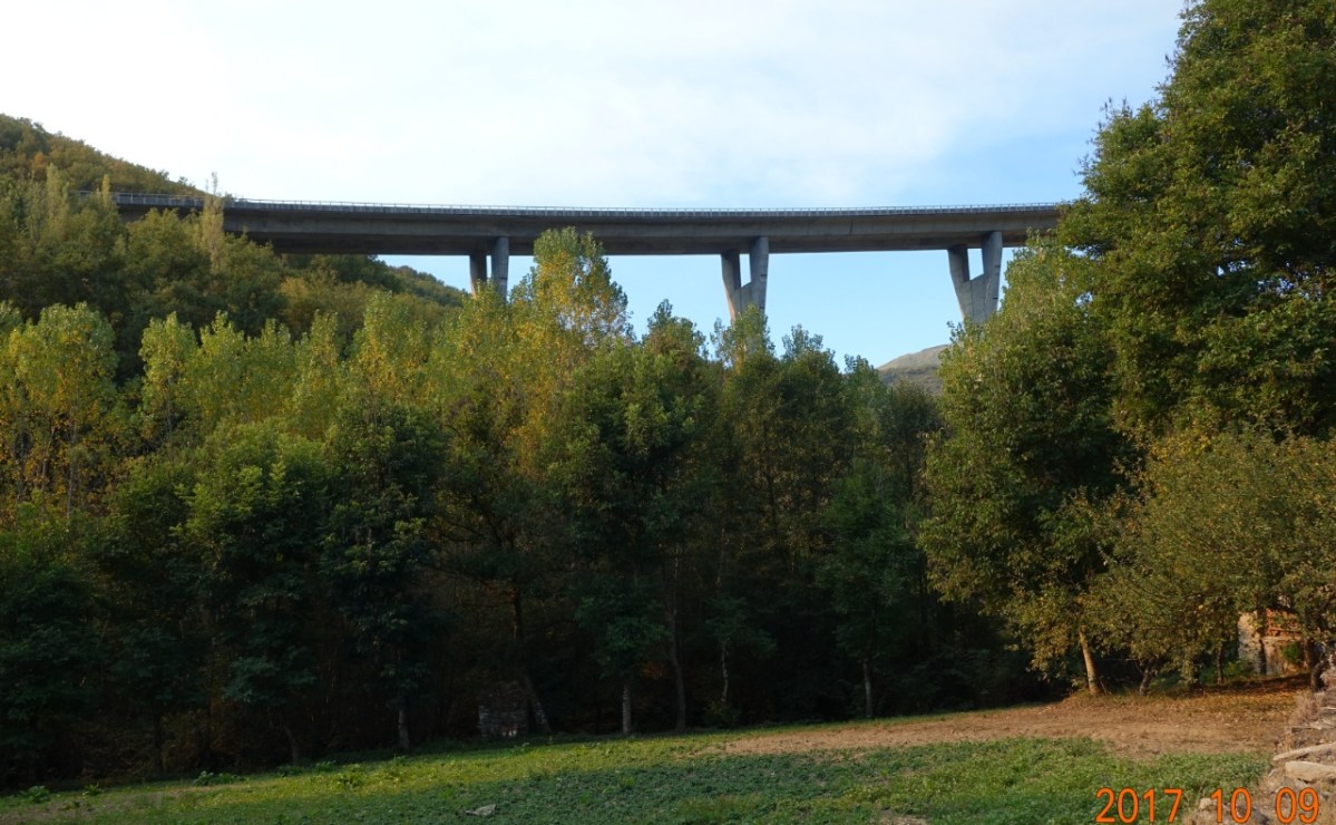
As we are nearing the end of the river valley, we can see the newer highway way up there. The Spanish should be proud of their roadway engineering.
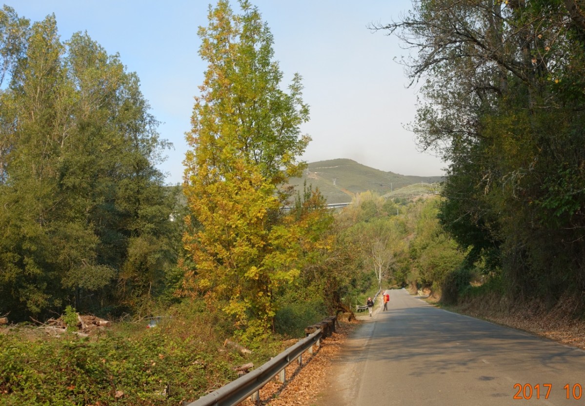
Here we are approaching the end of the river valley and again, the fall colors are all around us. We can smell autumn the air.
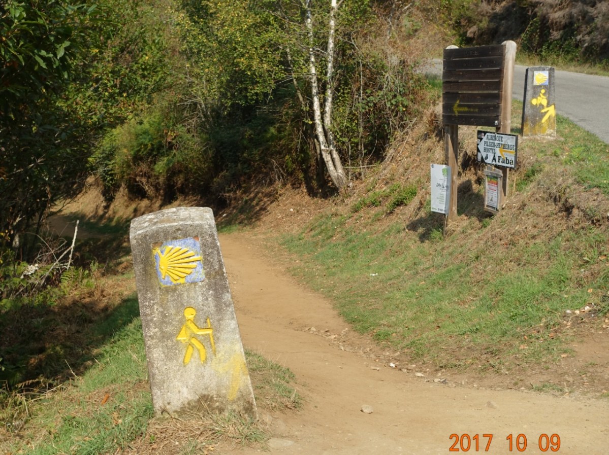
After walking through a little town of Herrías, and learning of the good restaurant in La Faba, we see these signs indicating walkers to the left and cyclists stay on the road.


And here is why: the walking path is steep and extremely rocky. But it is a beautiful walk in the forest, at times almost like being in a forest tunnel.
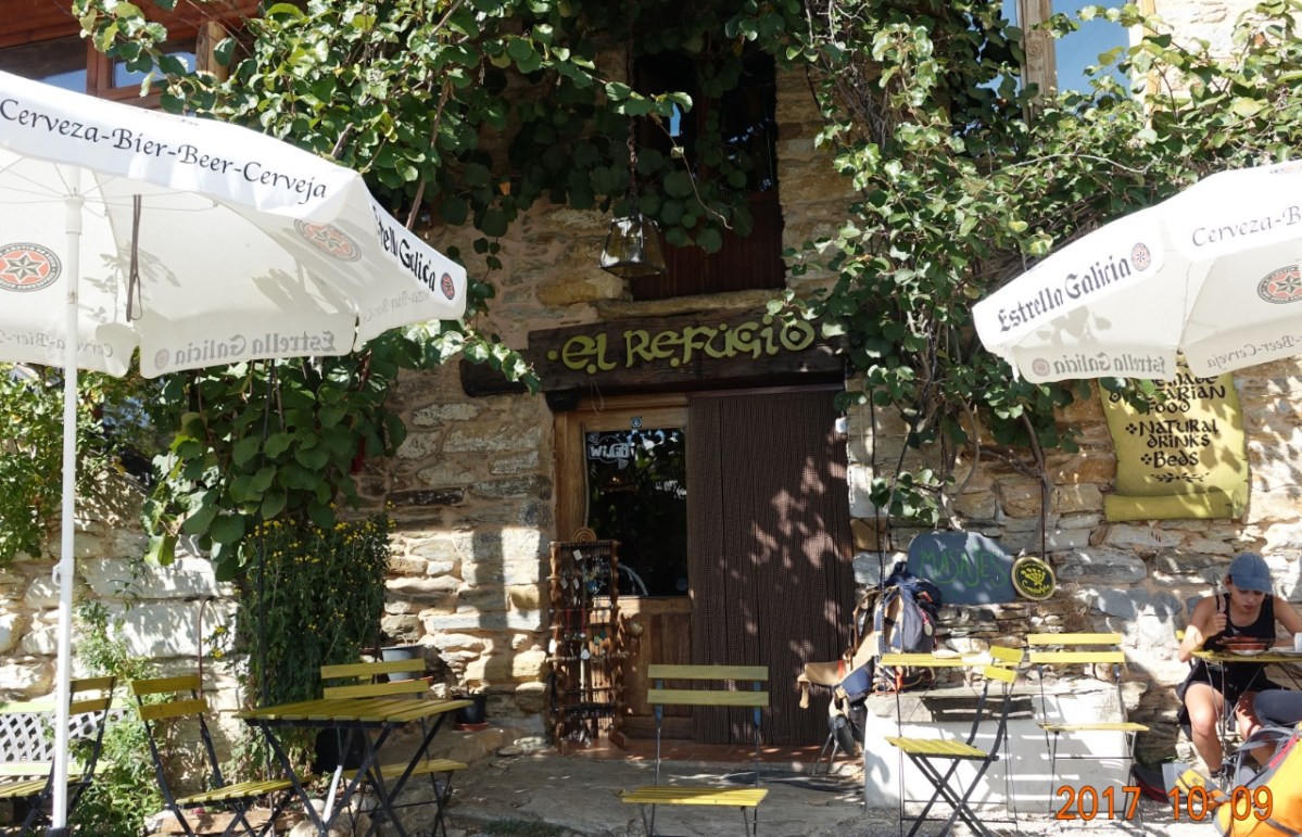
After almost two hours of slow-going up the steep, rocky hill, we arrived at La Faba and found the vegetarian restaurant. The food was outstanding. Really got us ready for the second half of the uphill to O’Cebriero.
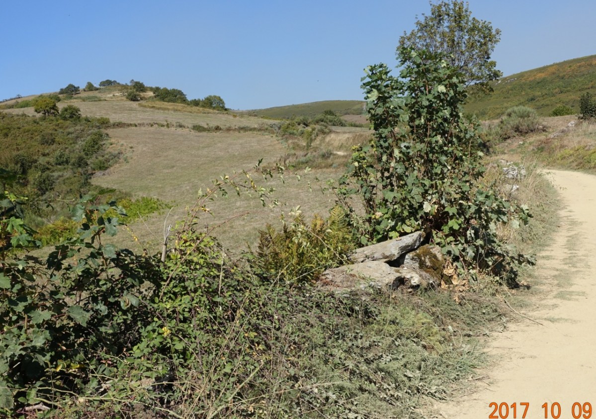
The second half of the uphill climb was mostly out of the woods and along open fields, possibly used for cattle.
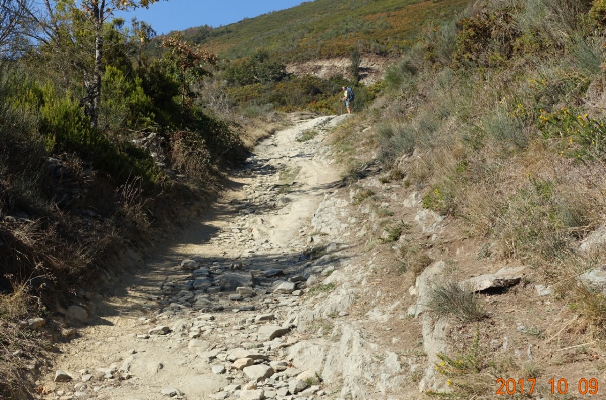
And most of the time, the path was quite rocky, making for slow-going.
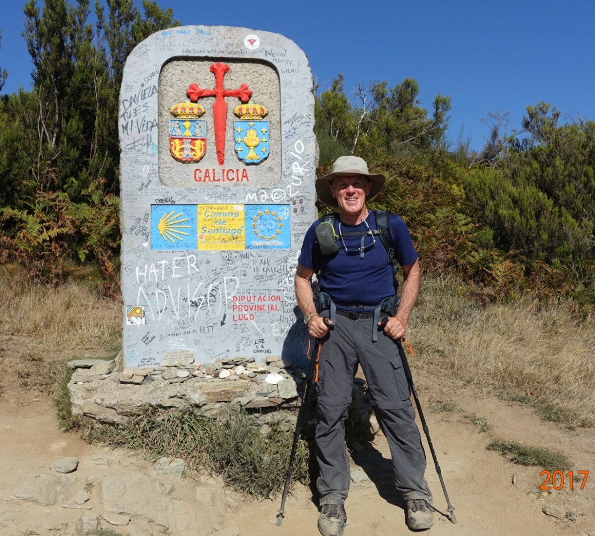
We finally got to the border entering Autonomous Region of Galicia, leaving the Autonomous Region of Castilla y León and the province of León.
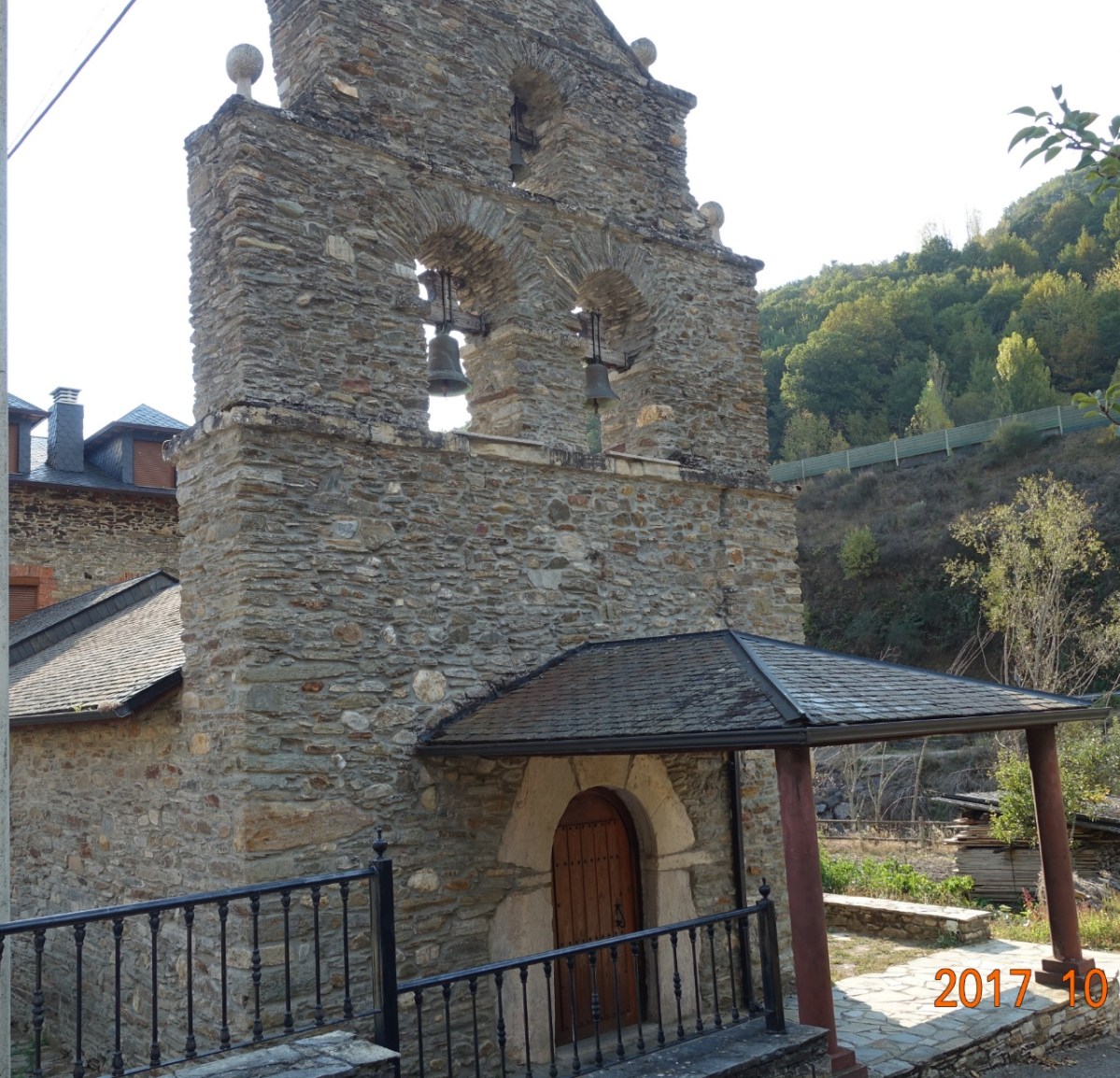
And about 30-40 minutes later we arrived in O’Cebreiro. Here is the church of Saint Mary (Iglesia de Santa Maria Real) elegant in its simplicity. It dates to the 9th century and is the oldest church associated directly with the Camino de Santiago.


O’Cebreiro is also the resting place of Don Elias Valiña Sampedro (1929-1989) the parish priest who did much in his lifetime to preserve the integrity of the Camino de Santiago. It was his idea to mark the Camino with the now-familiar yellow arrows.
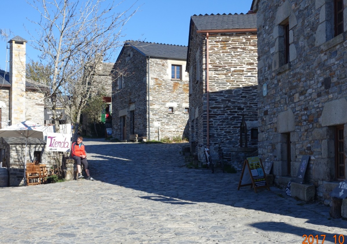
Almost everything here is stone/rock – the buildings, the roadway and walkways, the floors in most buildings, almost everything. An interesting pilgrim town of population 50. O’Cebreiro has a long history with the Camino de Santiago
Next: Walk on the mountain, and then down out of the Bierzo Valley to Triacastela
