Monday, May 16, 2016
Down the mountain from O’Cebreiro to Triacastela Walking Day #25
We are now in Galicia, a large autonomous community in the northwest corner of Spain. The city of Santiago de Compostela is the capital of Galicia. Santiago de Compostela is most known in the west as the location of the cathedral that is a shrine to Saint James the Great and the destination of the Way of Saint James (Camino de Santiago) the leading Catholic pilgrimage route dating to the 9th century. In 1985, Santiago’s old town was designated a UNESCO World Heritage Site. The name Santiago is the Galician evolution for the Latin Santus Iacobus, “Saint James”.
So we are in Galicia, having passed the border from Castilla y León close to the end of the horse ride up the mountain into the village of O’Cebreiro. This means we are getting very close to Santiago de Compostela, the goal of our pilgrimage. But first, we have to get off the mountains surrounding the Bierzo valley. This means a little bit of climbing today, and then a long, long downhill into Triacastela.
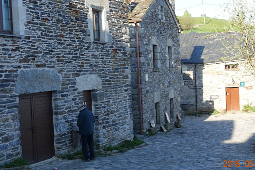
A little bit of the town of O’Cebreiro, population 50. Notice the stone used for the walls, the sidewalk, the road, everything.
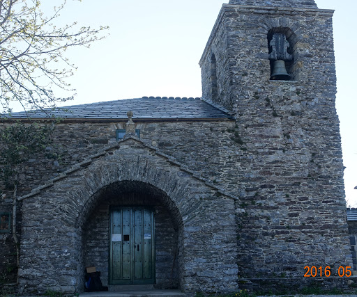
And that includes the church. I was waiting for the church to open so I can get the first stamp in my second pilgrim’s credential. I’ll post a recent photograph of the stamps tomorrow.
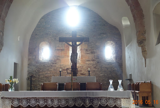
The inside of this church is very elegant in its simplicity. This is one of my favorite small churches so far; simple, elegant, beautiful. I got the stamp, and off I go into the cold on top of the mountain westward to Triacastela.
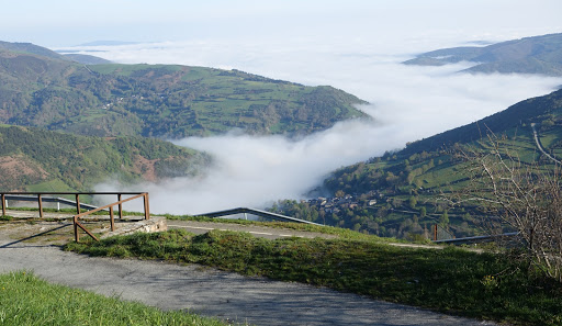
Just out of town, looking down into the valleys, I can see the fog or clouds in the valley below. Very odd feeling to be above the clouds.
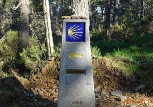
In Galicia, the Camino way markers are mostly these nice monuments made of granite rather than concrete. The dark place below the yellow arrow tells the number of kilometers to Santiago de Compostela, and at the bottom is the inscription “Galicia.”
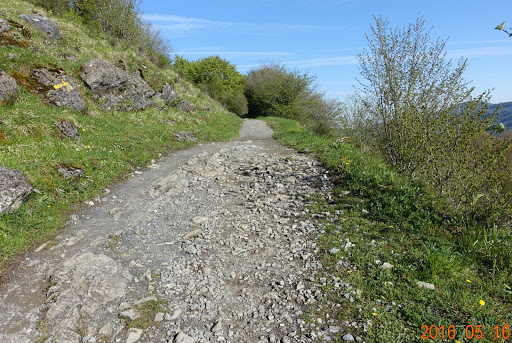
And we are climbing again. Up another rocky and unstable path. The good news today is that the path is seldom muddy (until later).
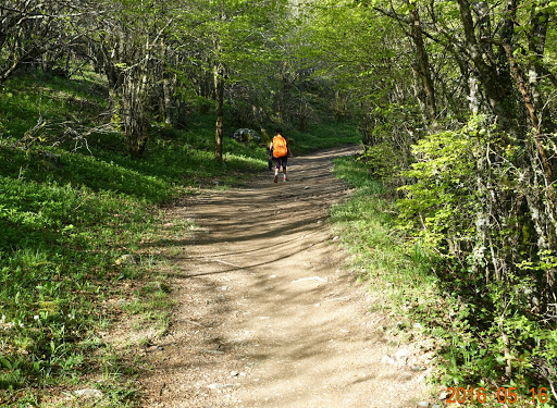
Sometimes the path is almost like a tunnel through the forest. At this point, we are in an oak forest, having passed through a stand of pine earlier in the morning.
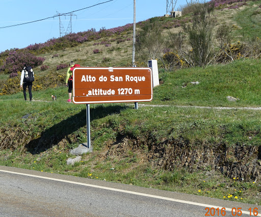
This is the highest pint today, 1270 meters (4170 feet) elevation. Across the road is this pilgrim statue with a pilgrim bracing himself in the wind.
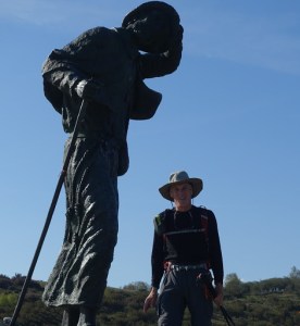
Hard to get a good picture, as the sun is right behind the statue, but that is me standing there. It is warm, even at this altitude, and I am down to a long-sleeved T-shirt and a base layer.
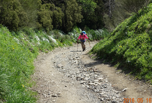
Once again, the trail is rocky, uneven, and I am glad I have good stiff-soled hiking boots. The softer the sole, the more of the unevenness of the rocks transfers to your feet.
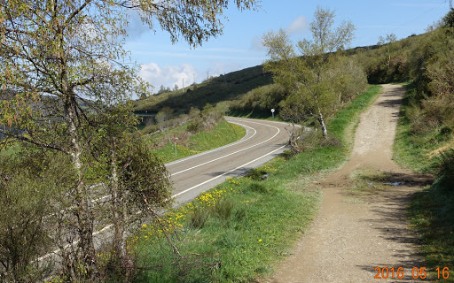
At times, the path was near a highway, designated as LU-633. Not a busy highway, so when close, it was not bothersome.
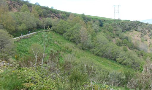
This is the last uphill. Around the corner just past the reach of the photo we start about 7 kilometers (just under 5 miles) of sometimes steep downhill, and sometimes muddy. A beautiful day, even with the mud.
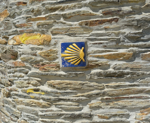
One of the Camino way markers in a village about 3 kilometers from Triacastela. This one is very old, a nice tile on the rock wall.
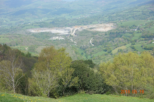
down the hill we can see what appears to be a stone quarry. This is very close to the town of Triacastela.
I made it down the hill, and even though I tried to remember to take pictures coming into the small town (Triacastela has a population of 900), my goal again was to get checked in to the hotel, take off my hiking boots, and get a shower. I did that, and it felt very good. Being that my hotel was also an albergue (hostel), they did have laundry facilities, which I used. But today, seeing that it was warm and sunny, I hung my clothes on the clotheslines to dry in the sun.
Nancy and Beth were booked into a different hotel, even though we are both using Camino Ways for our reservations. I’m sure I’ll see them on the road tomorrow.
Tomorrow we walk to Sarria. This is where many, many people start, being that it is 110 kilometers from Santiago de Compostela. To get a Compostela (certificate of completion), you have to show that you have walked the last 100 kilometers or more. I have many, many stamps, so I will have no problem proving that I have walked 800 kilometers. So after tomorrow, the path will become busier. Not a problem for me, as I have hotel reservations to Santiago and all the way to Finisterre.
Next: Walking only 18 kilometers into Sarria
