January 17, 2016
The Hike Up Doi Suthep
Another start to the day with my now familiar and usual routine – a morning meditation, breakfast, and 10:00 yoga at Wild Rose Yoga. Tom from Australia was heading directly from yoga to the airport to return home to Sydney. After a short good-bye, I decided to make the long hike all the way to the temple near the top of Doi Suthep, something I have never done. As documented earlier in this blog, I have made the walk up to Wat Phalad, which is a little less than half way. Today will be a bit of discovery; I only have verbal descriptions of how to find the trail after Wat Phalad, and some say it is a little hard to find the trail after crossing the road.
I got a red truck to Wat Fai Hin which is close to the trail head (within 400 or 500 meters). I would have rather be dropped at the trail head, but the drivers know temples, and do not know the trail head, or they do not know the English for the trail head. Being a hot day, I brought my backpack with water, some salted almonds, an absorbent towel, my camera, and a few other items (copy of passport and visa, a pen and notebook, wallet/money, Thai phone).
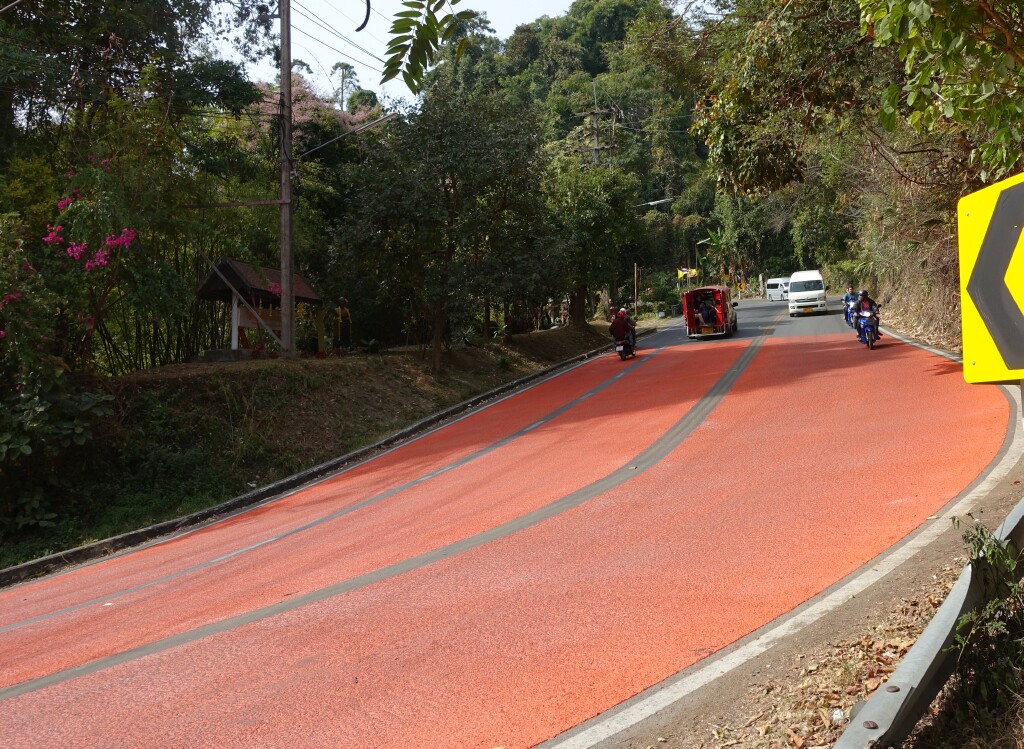
From the trail head to Wat Phalad is a 40-minute hike. Just past Wat Phalad, the trail steepens. There are a series of steps, then a really steep section about 40-50 meters where one almost has to grab onto small trees to pull oneself up. Then you emerge onto the road. I was told that about 50 meters up the road, to cross and look for the trail. Several people told me they missed it and found it coming back after passing it and going too far. I was told that there was an orange cloth tied around some bamboo, but it is easy to miss. I was also told to look for a yellow arrow on the side of the road.
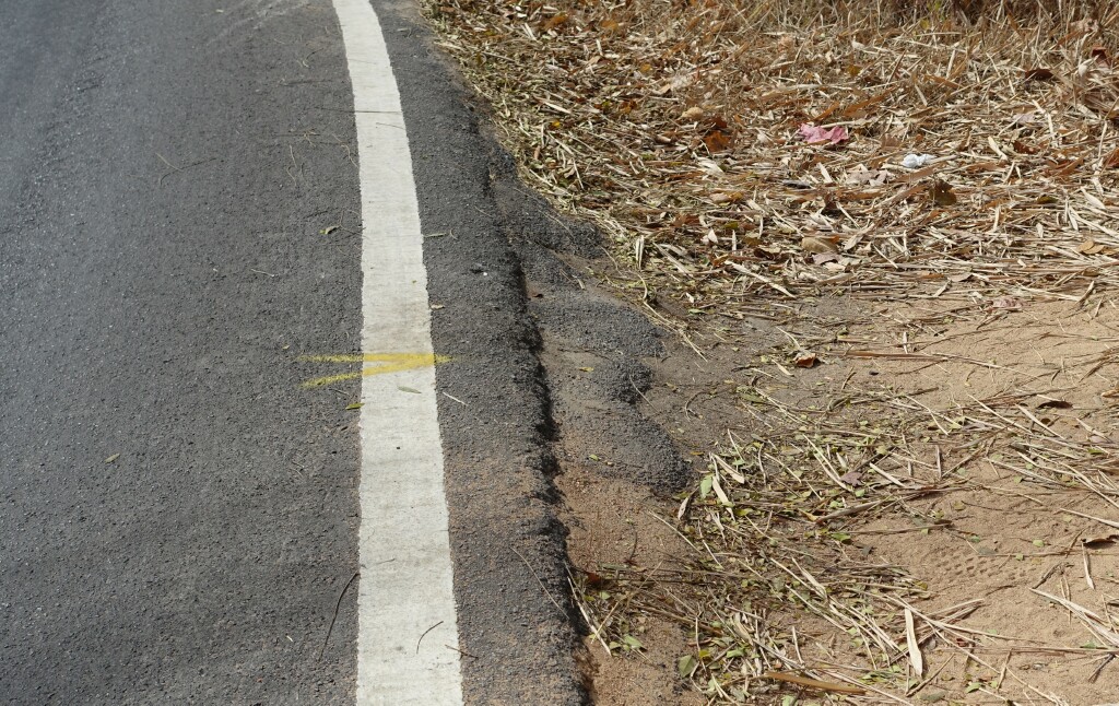
Yellow arrow at the side of the road marking the hiking trail up the mountain…very subtle.
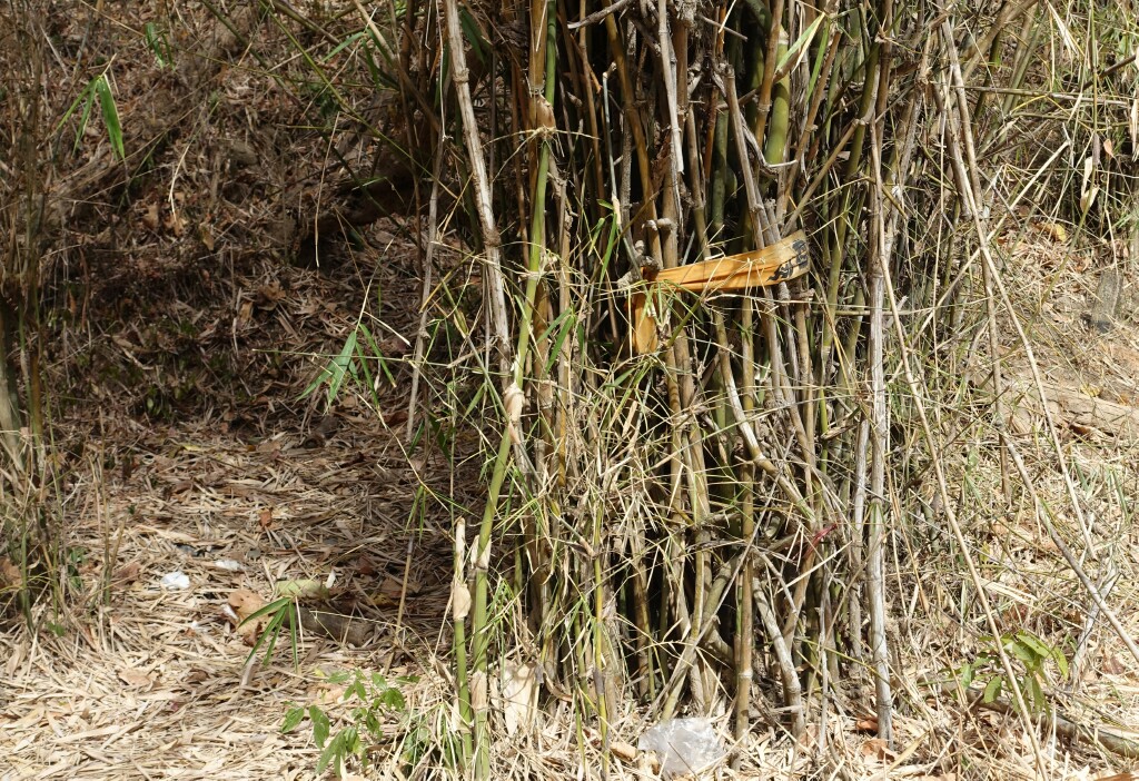
The orange cloth tied on the bamboo marking the trail. Looks obvious, but it really blends in. The trail is on the left, also blending in and well-camouflaged.
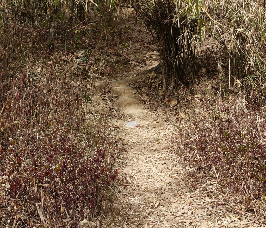
This trail is consistently steeper than the trail up to Wat Phalad. The picture does not convey the incline well, but it is relentlessly steep.
There are a few flatter sections, giving an opportunity to catch one’s breath, and then it is up, up, and up again.
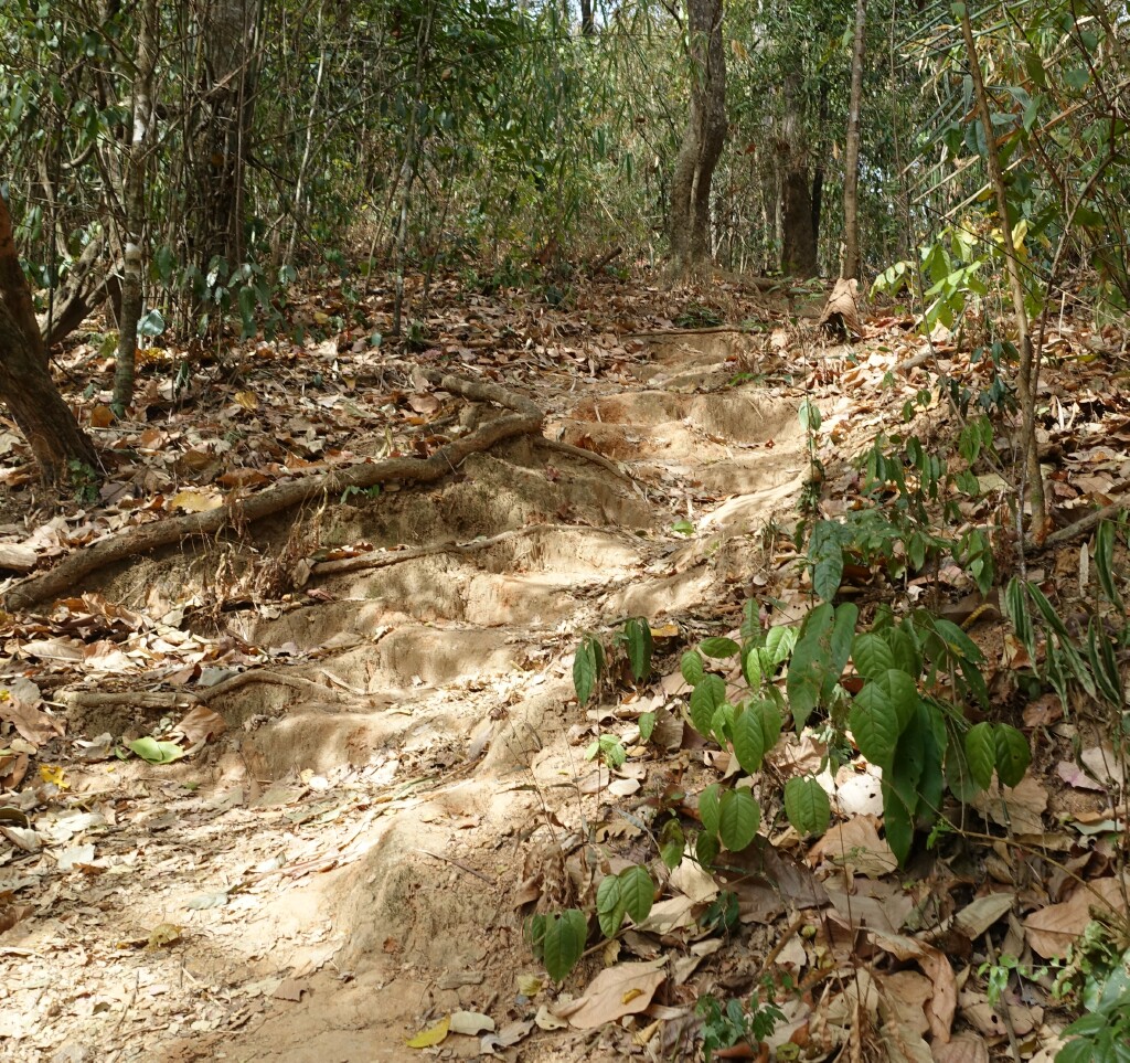
A good bit of this part is like climbing stairs, and at times steeper. In the photo, you can see the steps worn into the terrain.
Then suddenly, you emerge at the final turn on the road to the temple. The temple parking area and entrance is about 300 meters up the road.
The second part of the hike, from Wat Phalad to this point took about 50-55 minutes, about 10-15 minutes more than the first part of the hike. And I am tired, hot, dirty, and sweating. Even being less-than-pristine, I shall visit the temple – it is a great temple.
Next: The Temple, Wat Phra That Doi Suthep
